Category: GPS

Items containing GPS data (either the downloadable KML/Z or GPX file) &/or a map that displays such data.

Pedaling for Pleasure

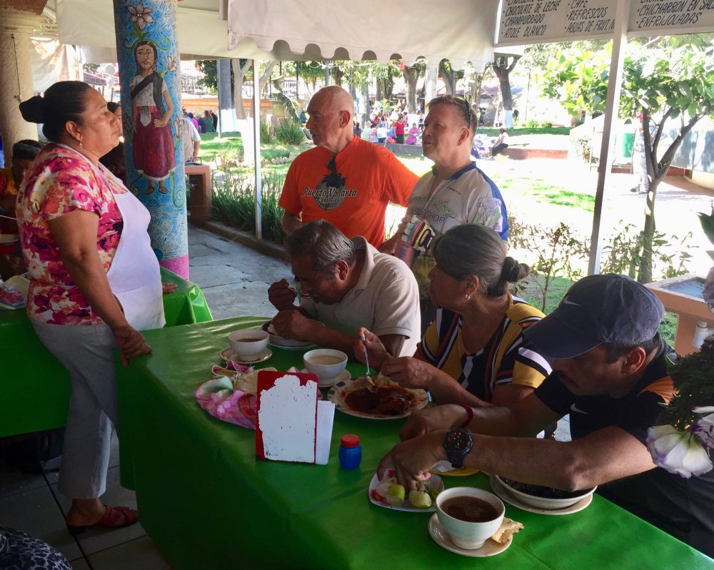
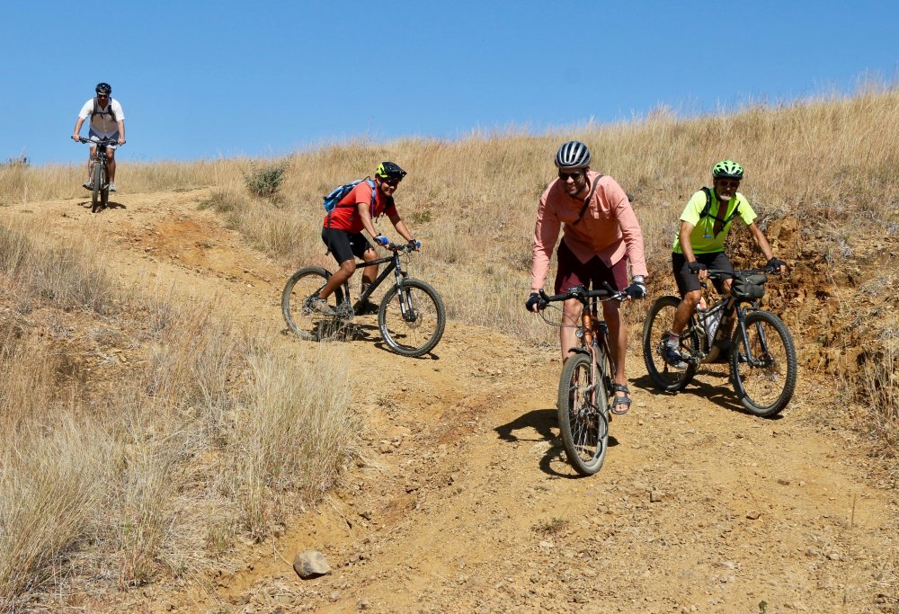
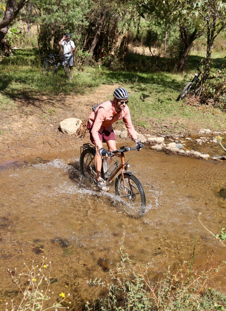
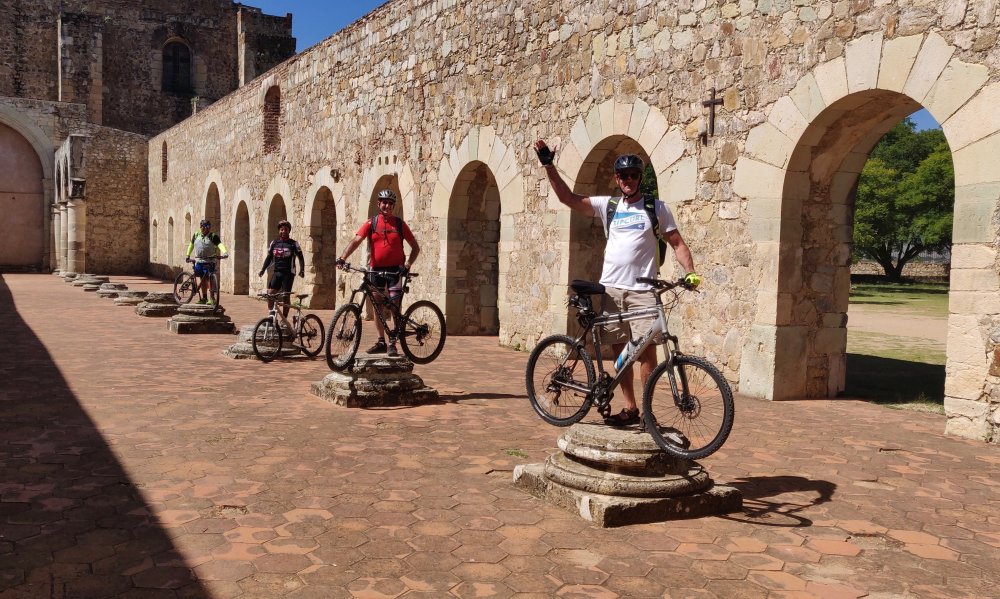
There are many miles of interconnecting farm access roads in the part of the Etla valley lying between Monte Alban and the mountain ridge that forms the western boundary of the valley. These are a constant delight to mountain bikers in any season of the year. The rolling hills offer both scenic beauty and a moderate challenge to adventurous riders. So it was on this bright Sunday in early February that Jim and Larry set out from the plaza in front of the church of Santo Domingo in central Oaxaca on a four-hour, twenty-four mile excursion. Pedaling south from el centro, the duo passed through the Candiani neighborhood and Xoxocotlan, then proceeded on to Cuilapam on paved roads before taking dirt lanes into the countryside. This area has some of the most fertile soil in the area and so is heavily farmed – hence the numerous access roads. The riders elected to make this an out-and-back ride, rather than completing a loop back to the city through San Pedro Ixtlahuaca and Atzompa. On the return leg the pair stopped at the church of Santiago Apostol in Cuilapam to watch a troupe of young people in full costume performing the Danza de la Pluma. While doing so, they were treated to drinks of mezcal and cold beer by some of the onlookers. The GPS track showed a total distance of 24 miles (38 kms) covered, with 1272 feet (388 meters) of uphill and 1112 feet (339 meters) going down. It was a perfect day for such an outing, with mild temperatures in the upper 70’s Fahrenheit (low 20’s Celsius) and blue sky from horizon to horizon.

Caution! Cantankerous Caballo!

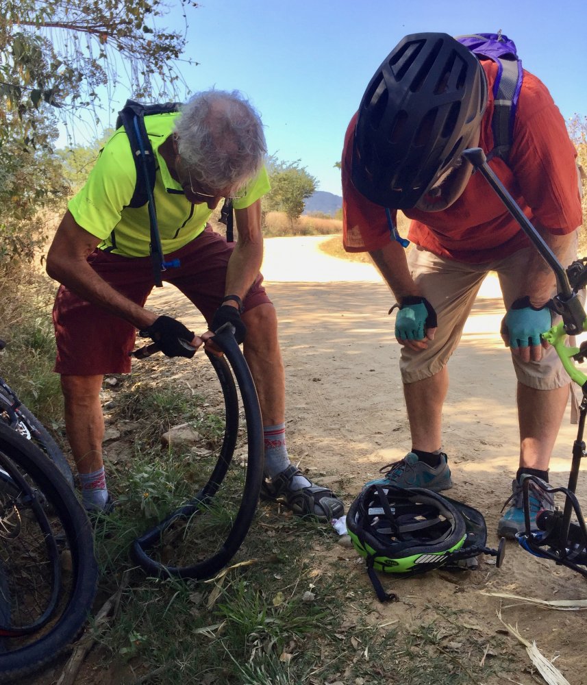
     Ron, Phil & Larry set out on a lovely Sunday morning in late November for a moderate ride in the rolling hills of the Etla valley west of Monte Alban. This was Phil’s second outing on his new Trek “Marlin” bicycle, and it turned into more of an adventure than the guys anticipated. While pedaling along a pleasant farm access road running to the northwest out of Cuilapam, our gang ran across Pedro Martinez, a local legend in the mountain bike community, who was guiding a couple of young Brits through the countryside. They warned us of a very unfriendly horse they had encountered not far up the trail. After parting, we continued our journey, very much enjoying the scenery. A half a mile further along we  rounded a bend and came upon said cantankerous caballo. Catching sight of us, the horse charged and reared up, pawing the air with his front legs in a challenging manner. We halted, of course! Soothing words and gestures on our part did nothing to placate the animal, which resolutely barred the trail. We decided a cautious retreat was the proper course of action. I wish I had thought to take a photo of the rearing horse, but at the time my main concern was avoiding its hooves. Shortly thereafter Phil discovered he had a flat tire. Sadly, he had no spare tube or patch kit in his gear. Ron and I, being experience bikers, should have been prepared. But we have been spoiled by riding tubeless for a number of years without having any flats. Neither of us had a spare inner tube of the correct size, and our patch kits were so old they were ineffective. Fortunately we were not far from Cuilapam, and found a bike mechanic whose shop was open on Sunday. Three thorns were removed and patches applied to get Phil back in the saddle. The remainder of the return ride to Oaxaca was uneventful. We covered 24 miles (38.6 kms) on the out & back ride, managing to gain and lose 1316 feet (401 meters) in elevation as we went. Hopefully Phil will maintain his enthusiasm for mountain biking, despite the days’ misadventures, while adding a spare tube and a patch kit to his riding gear.


The Bite of the Bike Bug

    Beware the bite of the bike bug!  A couple of friends were recently bitten and succumbed to the urge to purchase mountain bikes. Both Phil, an avid hiker and long-time resident of Oaxaca, and Doug, who moved here a year ago, are now the proud owners of new bicis. As newbie bikers, both were eager to try out their new conveyances and test their stamina in the saddle. So it was that they and three other amigos set out on a bright Friday morning for a test ride around the Valley of Oaxaca. The group chose an easy route through mostly flat terrain, but managed to put about 20 miles (32 kilometers) beneath their wheels, while gaining and losing about 1000 feet (304 meters) in elevation along the way. The ride was judged a success — everyone survived! — and now Jim, Judy and Helen are talking about buying bikes, too! That is good news for local bike shops.


Back Way To Tule

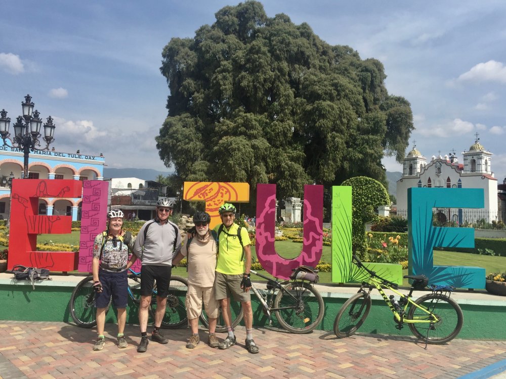
Most people thinking of bicycling from Oaxaca to Tule likely choose to go by way of the paved bike path connecting the two towns. But there are more interesting and challenging routes, among them this one which skirts the hills on the south side of the Tlacolula valley. Riding at a leisurely pace, it takes about 90 minutes to pedal from the south side of Oaxaca to the well-manicured central plaza in Tule, a distance of 9.7 miles (15.6 kms). This leg of the circuit offers the most change in elevation, challenging the rider to climb 1236 feet (377 meters), but rewarding him or her with 1015 feet (309 meters) of downhill. All of the ascent and descent is accomplished on rough Jeep road, which can be technically challenging. There is also a significant amount of single track trail in the vicinity of Tule — much of it obscured by tall grass in the summer months. Overall, this portion of the loop ride is rated moderate.  Be advised that there are quite a few branch trails in the hills near Tule, many of which can be used to either shorten or lengthen the ride. Once arrived in Tule, best stop to admire the gargantuan cedar tree in the church yard and enjoy a snowcone (nieve) before heading back home. The return to Oaxaca can be accomplished by retracing the outbound route or opting for the easy ride on the bike path. The entire loop ride, pictured on the map below, totals 16.5 miles (26.5 kms) and ought to take about 2.5 hours, making for an enjoyable excursion through the countryside.


New Gringo Faces on the Oaxaca Mountain Bike Scene

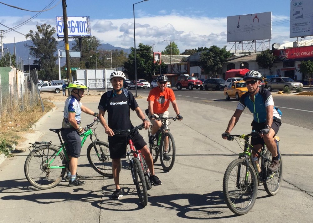
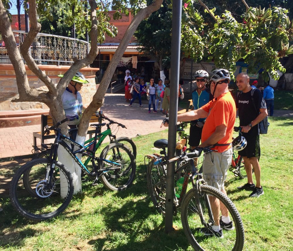
The city and state of Oaxaca have received a lot of favorable press this past year as many respected national magazines and tour agencies have listed Oaxaca as one of the top five world tourist destinations. Riding on the coattails of the tour boom, so to speak, are gringo mountain bikers either visiting or moving to Oaxaca from the U.S. and other countries around the world. And so it is we have had a number of new faces join in weekly rides. On this Sunday in September a couple of mountain bikers new to the area requested an introductory ride around the Oaxaca valley. These newbies were paired with a couple of resident gringos, and the foursome set out to explore some trails in the mountain valley that holds two reservoirs supplying water to the village of Santo Domingo Tomaltepec and surrounding farms. The quartet met and passed several other groups of bikers and hikers enjoying a Sunday outing in the same area. The out and back ride covered 27.8 miles (44.7 kms), with an elevation gain and loss of 2132 feet (650 meters). No one bothered to take photos, but we did create a GPS track of the ride.