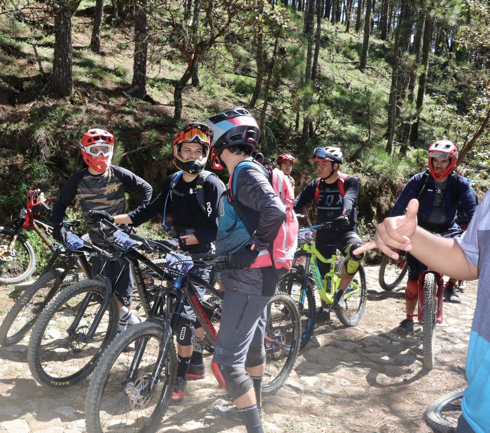
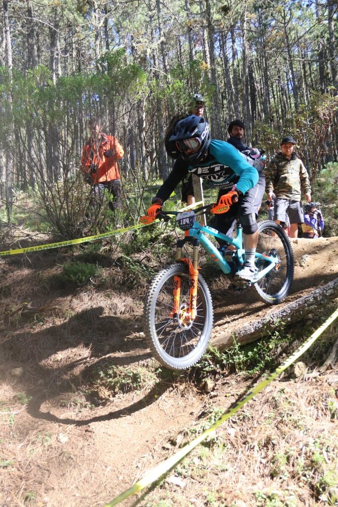
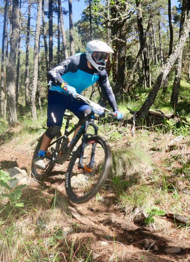
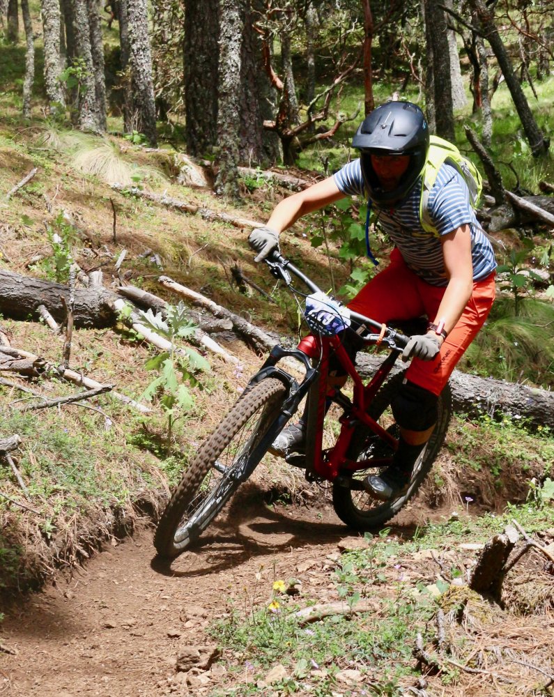
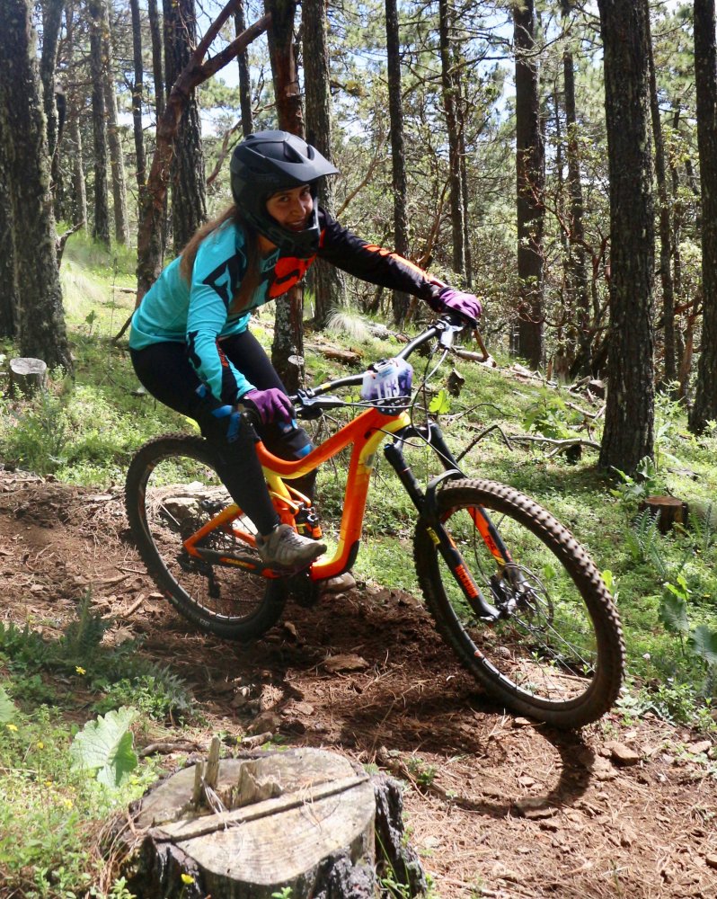
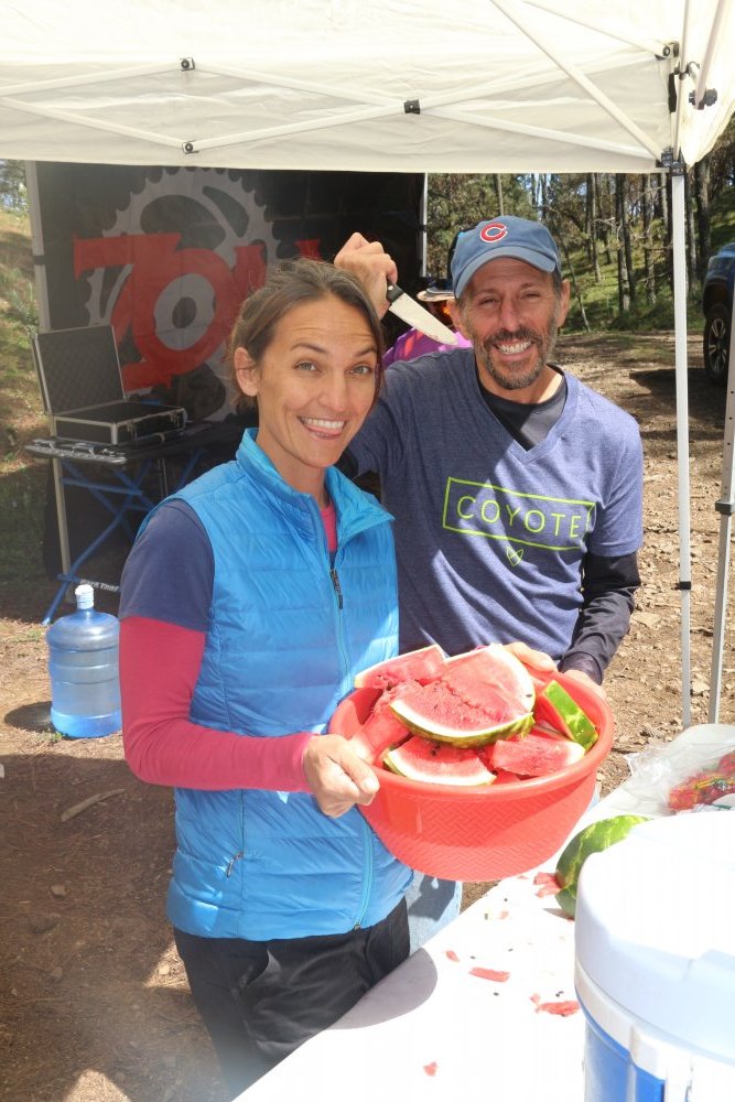
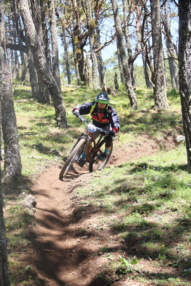
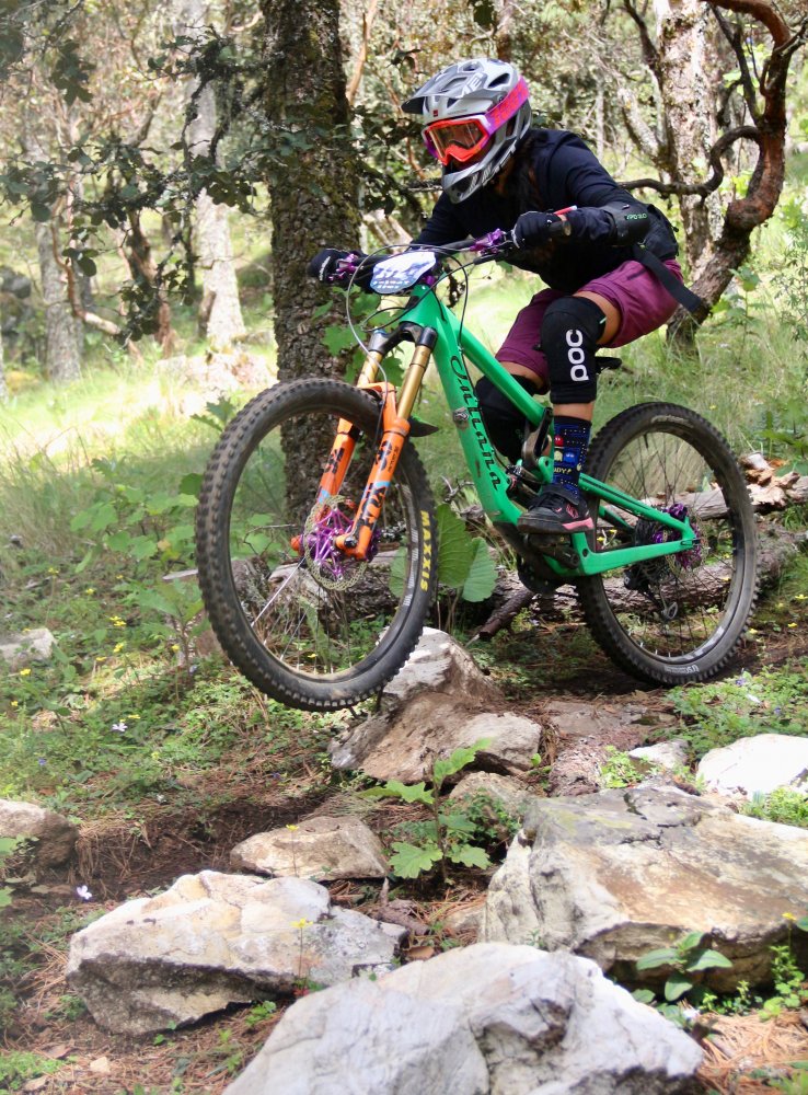
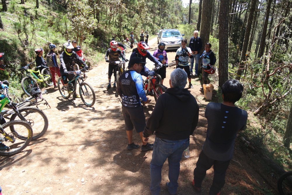
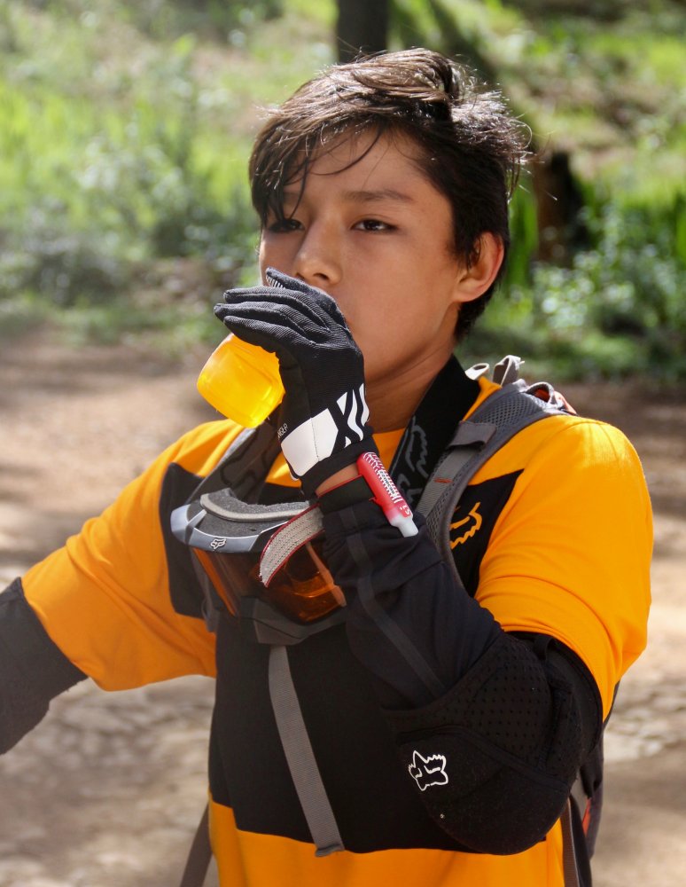
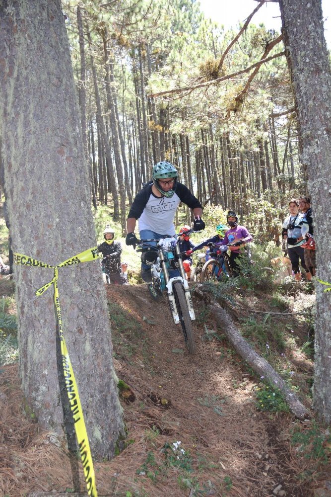
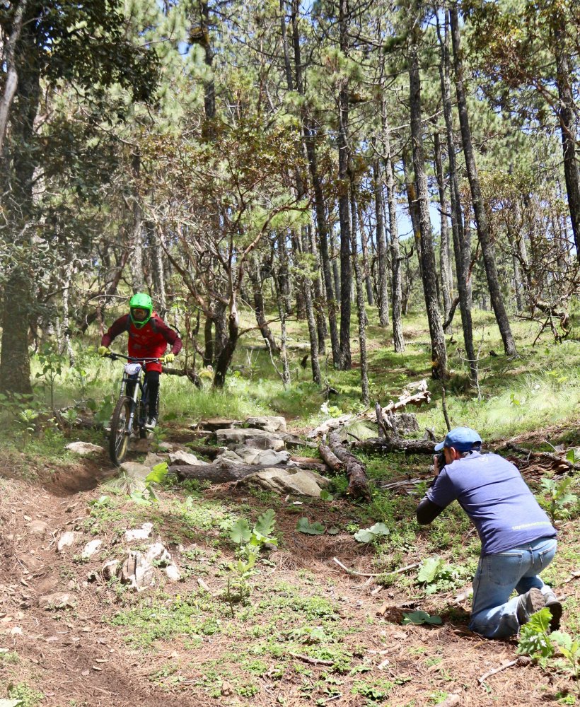
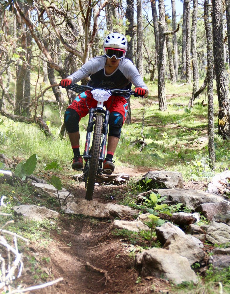
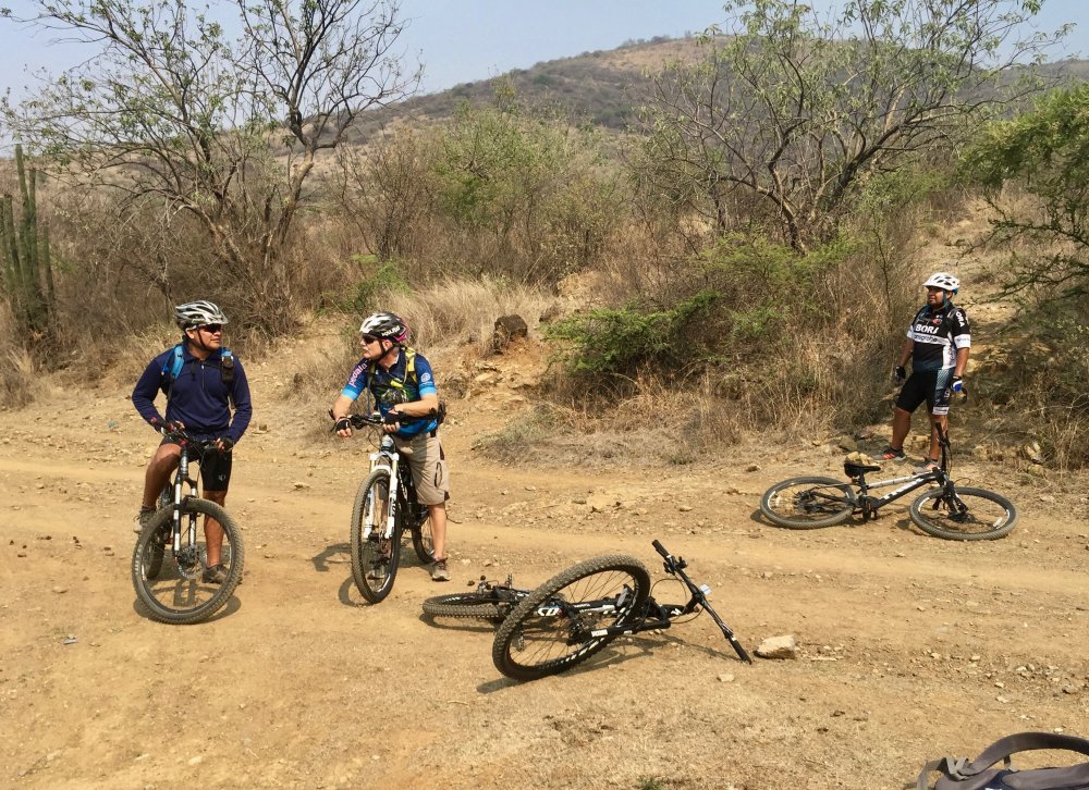
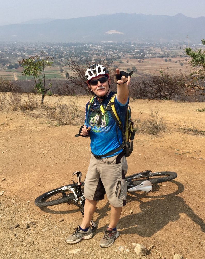
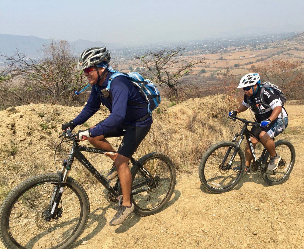
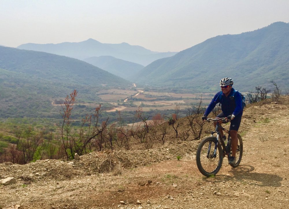
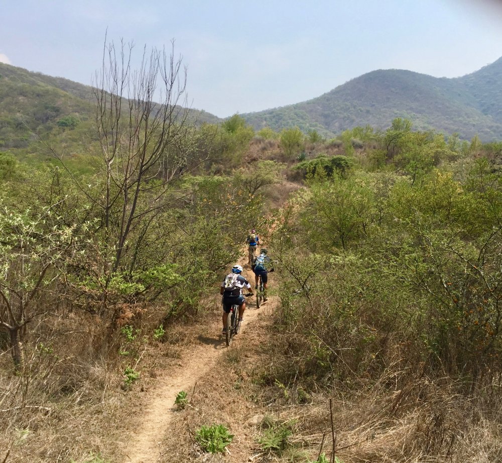
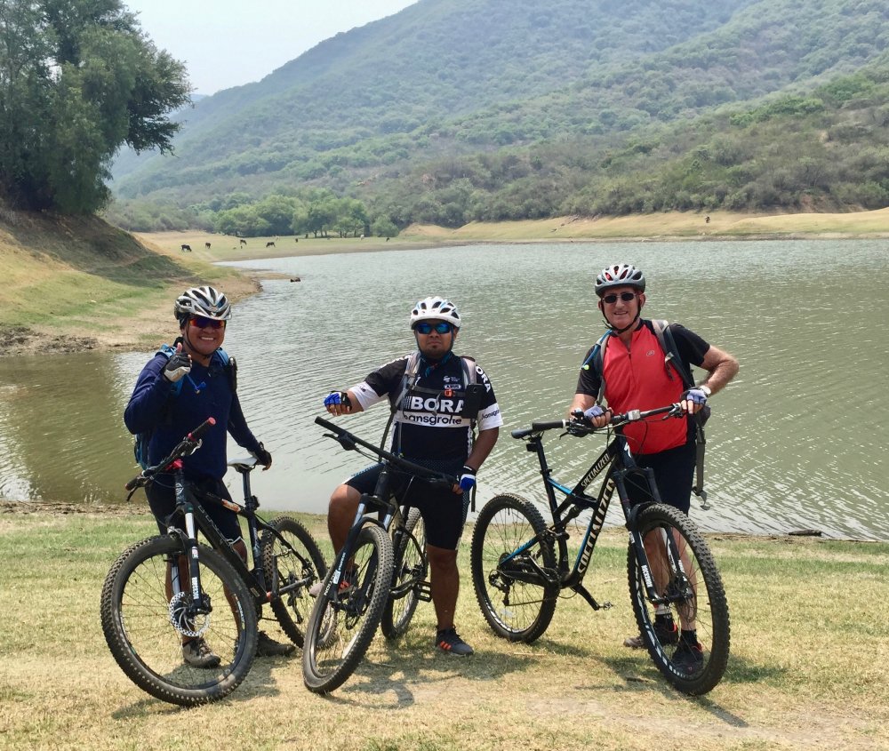
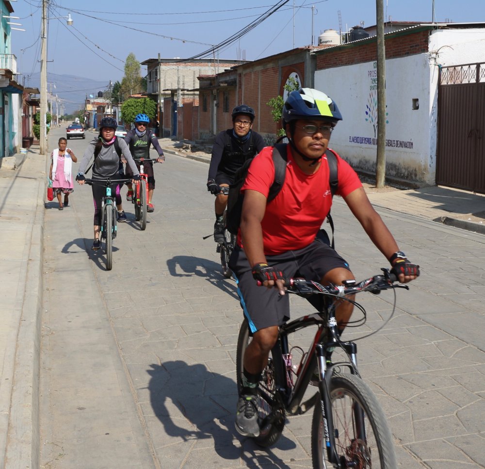
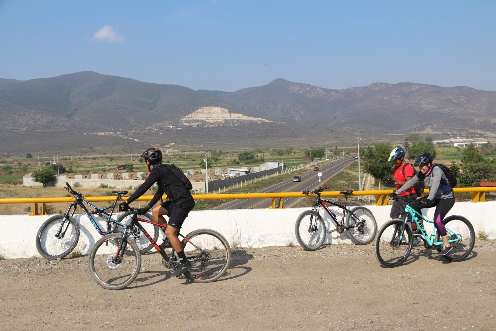
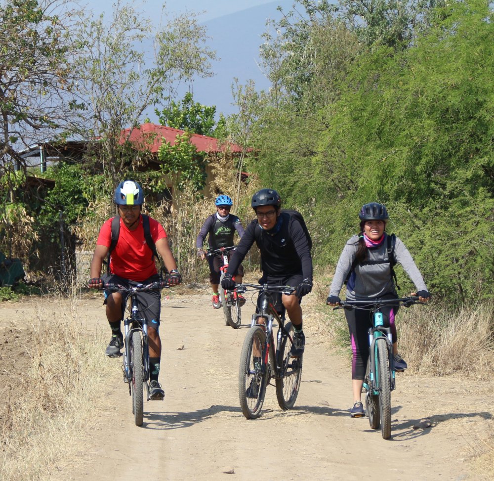
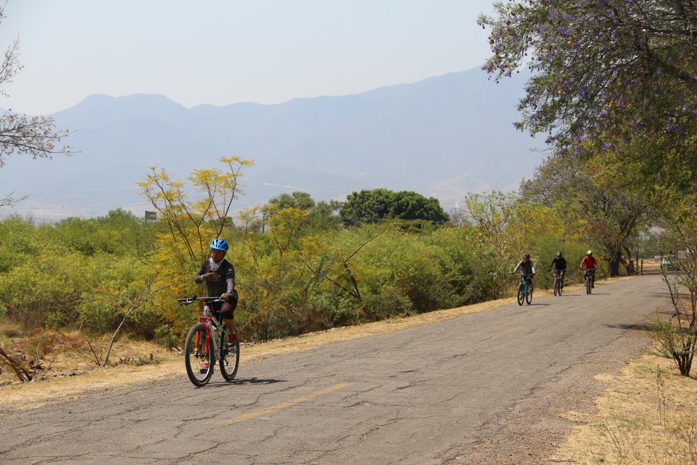
Recent years have seen a dramatic increase in the number of downhill mountain bikers in Oaxaca. Their numbers and enthusiasm were in evidence at an enduro race held on Saturday, 20 July 2019 at La Cumbre Ixtepeji. Riders were doubtless drawn to this venue by the multiple new downhill trails constructed near the ecotourism camp over the past two to three years. Today’s race challenged riders to test their skills on several of these. The first segment of the race took place on the Coralito Trail, which runs downhill 1.6 miles (2.6 kms), losing 1056 feet ( 322 meters) on the way. Then race contestants had to pedal their way back up logging roads to virtually the same starting point to take off down the Martinez Trail and then transitioning to the El Toro Trail and finally ending the race on La Herradura. The weather was perfect for the race, and the trail tread was in excellent condition – neither dusty and loose nor muddy. So far as we know everyone enjoyed the contest and no one had to be taken home in an ambulance!
For trail maps of La Cumbre Ixtepeji we suggest you use Trailforks: https://www.trailforks.com/region/la-cumbre-ixtepeji-22082/?activitytype=1&z=10.8&lat=17.18561&lon=-96.64612
Category: GPS
Countryside, Foothills, GPS, MTBing, Photos, Trail Info
La Muneca and Santo Domingo Tomaltepec Presas
by Larry • • 0 Comments
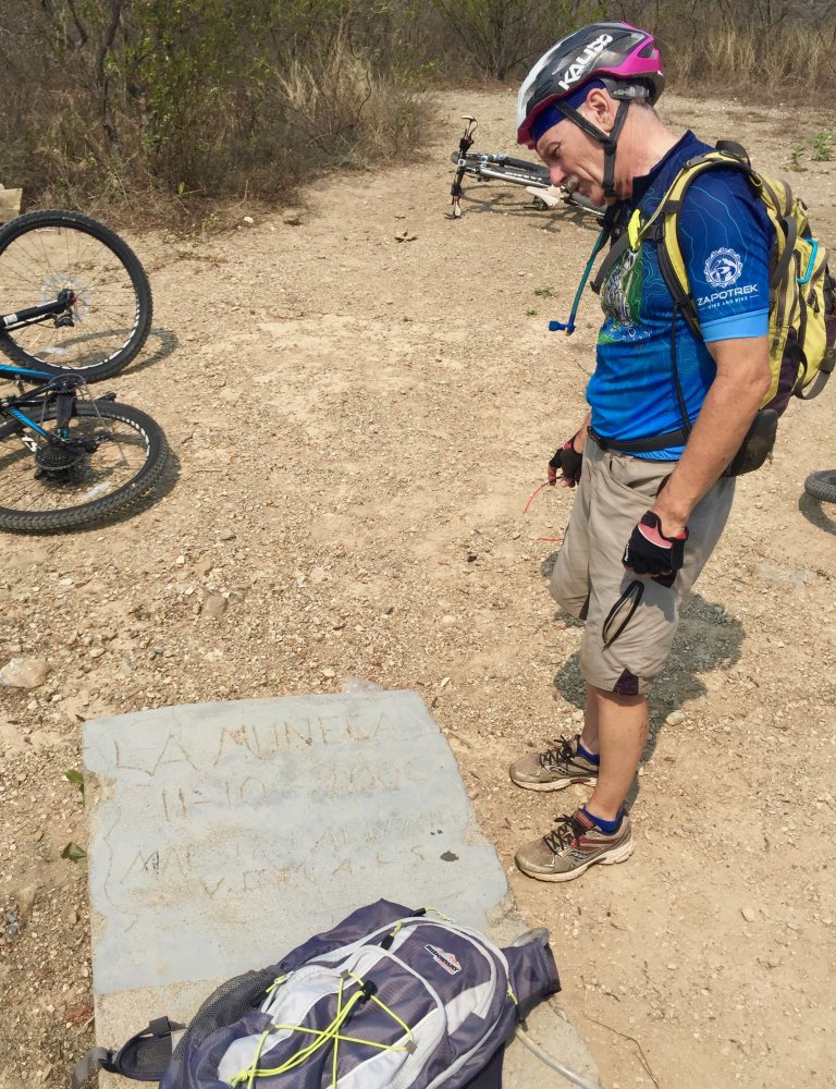
Four biking buddies hit the trail to climb the La Muneca trail in the hills near Tlalixtac and then coast down to the two presas in Santo Domingo Tomaltepec before looping back to their starting point near the Tlalixtac town center. All told, they spent about four hours in the saddle and pedaled 12.5 miles (20.1 kms) on this leisurely ride on a lovely May morning. The climb to the monument at the top of the La Muneca trail took the riders 1477 feet (450 meters) up the hillside. The trail was sufficiently steep to cause some hike-a-biking going up. But that was rewarded with some great zinging downhill. One of the riders had never visited the two lovely presas in the valley above Santo Domingo Tomaltepec, so those were included in the day’s itinerary. The group wrapped things up with a lunch of tasty Mexican food upon their return to Oaxaca at mid-afternoon.
Countryside, GPS, MTBing, Photos
Pedaling to Yagul and Back
by Larry • • 0 Comments
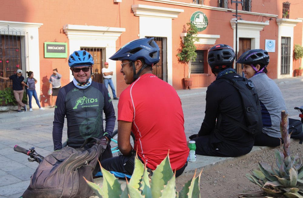
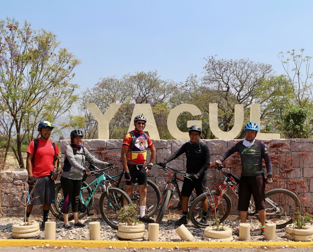
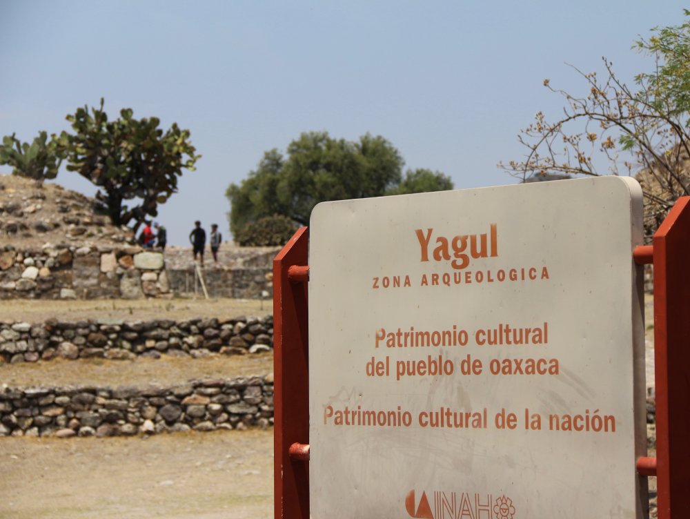
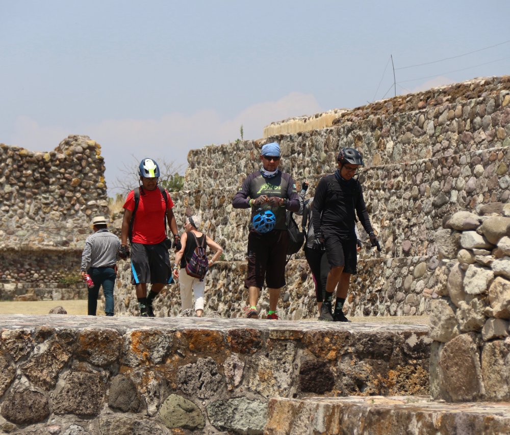
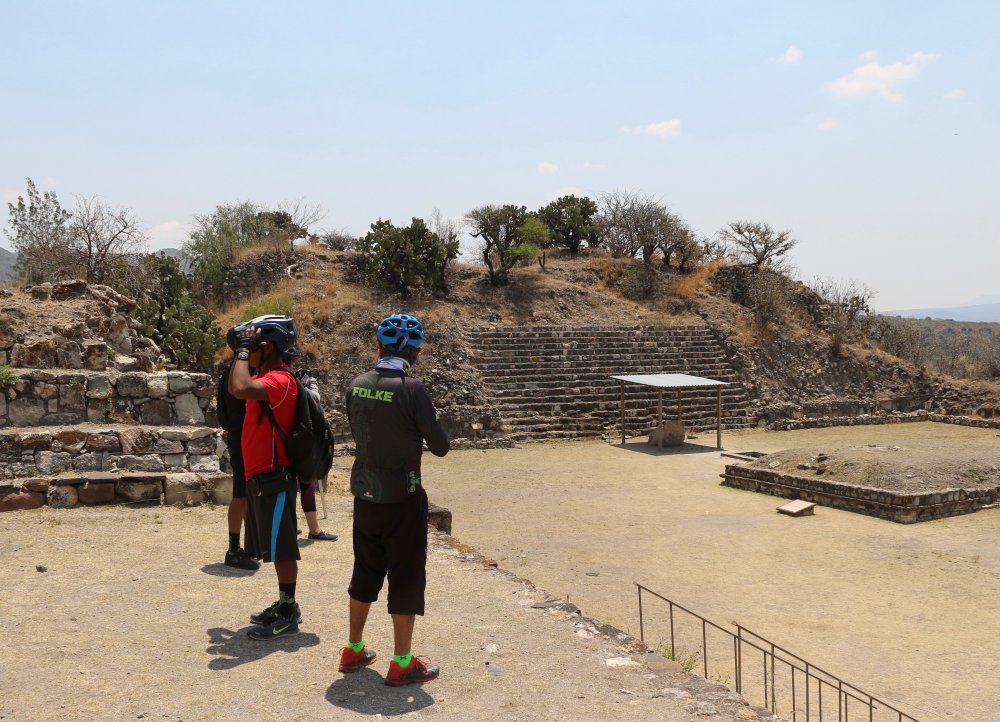
The Nitos Ciclistas en Movimiento bike club announced a Sunday ride for 31 March to the archeological ruins on Yagul, located in the eastern part of the Valley of Oaxaca not far from Tlacolula. Just five riders showed up to take part in the outing, as other club members were off to be contestants in or spectators at the Titan Zapoteca mountain bike race, perhaps the most famous of the many races held annually around Oaxaca (see http://www.oaxacamtb.org/wp/2012/11/mountain-bike-races/ on this web site). It was a warm and sunny day, with a pleasant breeze blowing out of the east to keep riders comfortable in the saddle. The group made use of the paved bike trail to Tule for the first part of the trip, then followed dirt roads through the countryside to Tlacochahuaya and Dainzu before riding on the shoulder of the highway on to Tlacolula and finally Yagul. The return route followed the highway back to Tule, where riders once again took advantage of the bike path to get back to Oaxaca. The total round-trip distance amounted to 45 miles (72.5 kilometers), with a modest elevation gain and loss of 1230 feet (375 meters) along the way. It took the group something over six hours to complete the ride, moving at a leisurely pace and with stops along the way for refreshments and a picnic lunch at Yagul.
Countryside, GPS, MTBing
The Danzante of Zimatlan
by Larry • • 0 Comments
In July of 2018 a gigantic statue of a figure dressed for the Danza de la Pluma, a colorful dance that tells the story of the Spanish conquest of Mexico, was erected atop a hill near Zimatlan, the largest town in the Grande Valley to the south of Oaxaca city. This monument is a popular destination for cyclists wanting to explore the back roads of the Zimatlan valley. The round-trip distance amounts to over thirty miles, but it is an easy ride because the terrain is very flat except for the short hill climb to the statue. Expect to spend about four to five hours on this excursion through the countryside. Be sure to use sunscreen and pack some snack food for the journey. We will likely stop for lunch at the mercado gastronomico in Zaachila where over a dozen small comedors offer a variety of local dishes.
Countryside, GPS, MTBing, Photos
Oaxaca to Dainzu & back
by Larry • • 0 Comments
The archeological site of Dainzu lies about fifteen miles east of Oaxaca in the flatlands of the Tlacolula valley and is easily accessible either from the main highway or via a network of connecting dirt roads in the countryside. The ruins themselves consist of a temple platform built into a hillside; a tomb; a nicely restored ball court and the foundations of several homes. The most unique element is a frieze of eleven carved stone panels lining the front of the temple platform showing ball players in various postures. These are believed to be Zapotec in origin, though one of the panels depicts a player with Mayan characteristics. The agricultural settlement around Dainzu was probably at its peak from 600 BC to 200 AD.
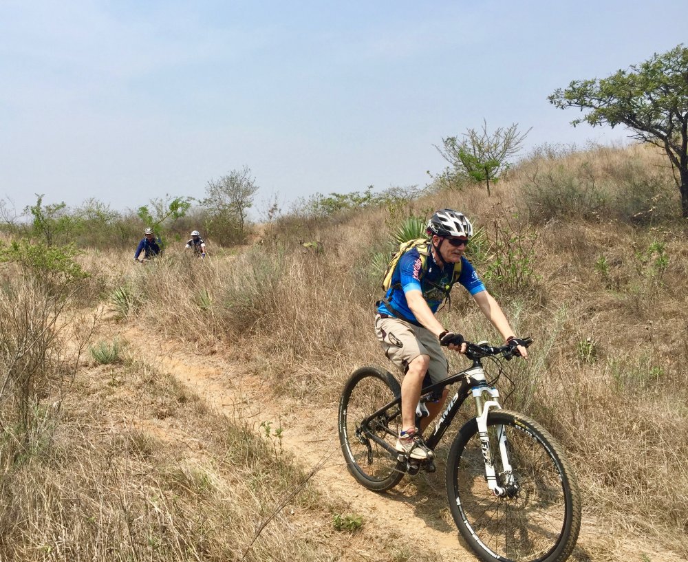
Ten mountain bikers set out for Dainzu on a fine morning in early March. They made use of the paved bike path to Tule, then took unpaved farm roads through Lachigoló and into Tlacochahuaya, where the group stopped at the local market to pick up tomales for a picnic lunch in Dainzu. The riders reached their destination after pedaling in a leisurely fashion for two hours. After eating, the band retraced their route back to Oaxaca. The round-trip distance amounted to 29.2 miles (47.0 kms), with a moderate elevation gain and loss of 1538 feet (469 meters) along the way.