Category: Racing

Items related to organized mountain bike racing. E.g. upcoming races, race results, routes used as race tracks for past or upcoming MTB racing events.

Mountain Bike Race In Huayapam – Carrera de Ciclomontañismo en Huayapam

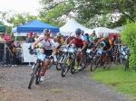
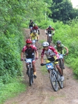
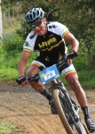
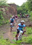
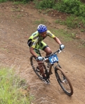
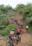
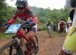
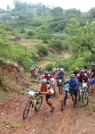
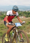
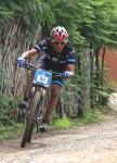
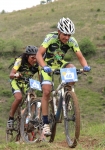
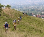
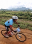
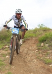
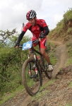
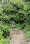
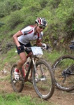
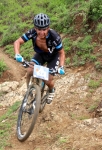
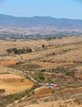
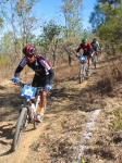
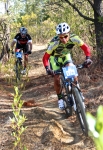
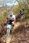
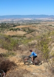
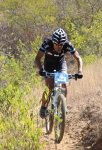
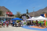
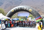
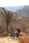
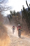
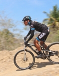
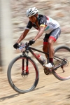
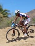
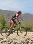
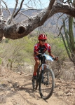
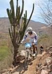
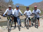
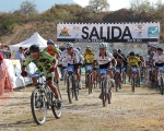
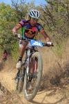
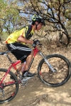
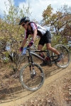
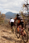
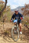
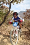
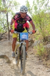
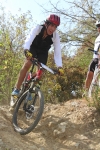
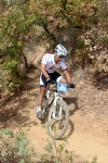
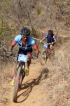
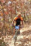
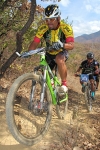
It was a soggy Sunday morning in June for today’s mountain bike race in Huayapam, a small town on the outskirts of Oaxaca city. The area received four-tenths of an inch (2.3 cm) of rain overnight, and it was still drizzling as people milled around waiting for the race to get under way. Needless to say, the trail was muddy in places, so no one expected to go home in clean riding gear! The course laid out for the day’s race was a loop running 3.8 miles (6.1 km), utilizing a bit of paved city streets and more extensive dirt roads, but with most of the distance accruing on single track trail. There was 696 feet (212 meters) of elevation gain and loss along the way. That may not sound like much climbing, but some of the uphill segments registered gradients from 15% to 20%, making many a contestant a hike-a-biker. Some parts of the trail going both uphill and down were a bit treacherous because of mud. A number of riders found their rear wheel spinning out from under them on the climbs and their front wheel sliding sideways on the descents. Still, most riders managed to stay upright on their bikes throughout the contest, and there seemed to be fewer flat tires and broken chains than on other recent races.

Era una húmeda mañana de domingo en Junio para la carrera de ciclomontañismo en Huayapam, un pequeño pueblo a las afueras de la ciudad de Oaxaca de Juárez, famoso por su tejate. El área recibió 2.3 cms (1 in) de caída pluvial la noche anterior, y se presenció neblina mientras los concursantes llegaban a paso lento. Era evidente la grandiosa cantidad de lodo, al jabón le esperaba una gran tarea! El camino trazado para la carrera de hoy contaba con una medida de 6.1 kms (3.8 millas), valiéndose de un poco de carretera pavimentada del hermoso pueblo, de una vasta extensión de destapadas, pero con la mayor parte de vereda de un solo carril. Hubo una diferencia de elevación de 212 mts (696 pies) en el camino. Sin encontrar mucha subida, algunas rampas contaban con un gradiente de 15% y hasta 20%, obligando a muchos a cambiar de lugares con su bicicleta. Por esto, junto con el lodo, la dificultad se vio acrecentada. Varíos concursantes encontraron sus llantas inútiles ante la resbaladiza pista. Igual, la mayoría de los resios mantuvieron firmeza a través de todo el concurso; también se presentaron menos casos de llantas ponchadas o cadenas rotas que en recientes carreras.

Easter Race at San Pablo Etla

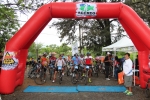
I actually saw a live bunny rabbit hopping down the trail on today’s Easter Sunday mountain bike race at San Pablo Etla. I did not find any colored eggs hiding in the brush along the route, however. What I did find – happily so! – was the digital camera that bounced out of my fanny pack as I was riding back to the finish line after taking photos of the race. Elsewise there would be no pics to go with this post, and I would be one very unhappy camper!

Today’s race was on the same 3.2 mile (5.0 km) race circuit as last year, but to give the venture a different spin the riders rode the course in the opposite direction – going clockwise today. The start/finish line was in a slightly different location on the loop, as well.

You can see photos of the race last year by going to the “Race” page and scrolling down to the “San Pablo Etla” entry.

Mountain Bike Race at San Jose de Gracia

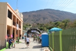
It is quite a slog to the village of San José de Gracia, which is located on highway 190 some 70 miles (112.6 km) southeast of Oaxaca city, but the local residents turned out in force to welcome all the mountain bikers who came for the race held on 16 March 2014. The race circuit was a 3.1 mile (5.1 km) loop that began on the city streets of the town and then dropped down into the valley of the Rio Quiechapa, where riders crossed the river twice on bridges set up for that purpose and then wound up, down and around through the forest on single track trail.

The high point of the race course hit an elevation of 2783 feet (848 meters) on the hillside above San Jose, while the low point was the river crossing at 2465 feet (751 meters). There was a total of 621 feet (189.3 meters) elevation gain and loss on one turn around the race course – but, of course, participants rode the loop two, three or four times, depending on which category they were entered in.


Mountain Bike Race in San Felipe

There was a good turnout for the mountain bike race held on the
San Felipe del Agua trail network on Sunday, 23 February 2014.

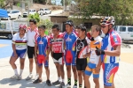
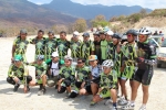
Chapus Bikes fielded a large and talented team. The village of Capulalpam de Guerrero is sponsoring a team this season, which was good to see. The Comex team present for this race was much smaller than in recent years. And, sadly, the Krotalus team was absent, as that bike shop went out of business late in 2013.
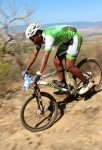
The weather was terrific and the trails were in decent shape. The race followed the same route as last year’s event, with one slight modification. A short section of what is identified on this web site as the Rebote trail has recently been re-routed to avoid a downhill piece that was getting seriously eroded.

Both participants and spectators seemed to have a good time — despite an assortment of broken chains and flat tires.

Cerro Fortin Trails

Cerro Fortin is a large hill that dominates the skyline on the north side of Oaxaca city. In pre-Hispanic days it is where the Aztecs built a garrison to exert control over the Zapotec & Mixtec population of the Valles Centrales. Today it is the site of the Fortin Plaza Hotel and the famed Guelaguetza outdoor amphitheater where a regional folkloric dance festival is held each July. The top of the hill is studded with an array of telecommunications towers and an observatory, as well as an imposing statue of Benito Juarez, the local Zapotec boy who became president of Mexico and held off the incursion of the French in the days of Emperor Maximilian. There are a number of trails atop the hill which are popular with downhill bikers. The trails are steep and gnarly, and several ramps and jumps have been built to add to the challenge. There is no ready road access, however, which means bikers usually have to ride or push their rigs to the top to enjoy the thrill of careening downhill. Downhill races are held here periodically.

The loops shown on the map below cover 3.2 miles (5.1 km) and entail a gain and loss of 946 feet (288 meters) along the way.

%d bloggers like this: