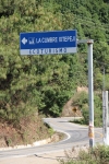
In theory it should not be difficult to ride from La Cumbre to La Neveria. This could be an out & back excursion or the first leg of a truly epic day in the saddle that would continue on from La Neveria to Benito Juarez, then down the mountainside to Teotitlan del Valle and on to Oaxaca – a trek that would cover over 60 miles and see the rider drop something over 7500 feet in elevation. But theory and practice seem to be out of alignment. The first time I tried this a few years back with a friend, we got totally turned around in the forest and wound up – after timber bashing for several hours through steep, heavily wooded terrain – in Latuvi. Oops! Must have taken a wrong turn somewhere!
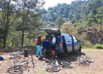
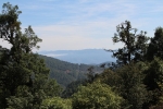
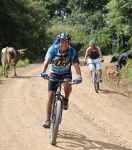
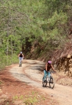
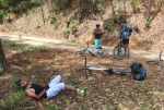
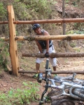
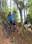
On this first Sunday in May I corralled another group of friends and we set out with somewhat better instructions. Things went smoothly for the first fourteen miles, but then we found ourselves in a maze of logging roads which went every which way. We picked a road that, while little traveled, seemed to head in the right direction. Unfortunately, after a few miles the road petered out, becoming just a footpath through the woods and eventually disappearing altogether. That was aggravating, as we knew we were close to our destination. However, we felt it would be foolhardy to push on and so reluctantly retraced our steps to La Cumbre.
The map below indicates our course, including a false turn that would have taken us to – you guessed it! – Latuvi if we had persisted. Altogether we covered 28.4 miles (45.7 km) and had the pleasure of gaining and losing 4481 feet (1365.8 meters) in elevation going out and back.
If it is true that “the third time’s the charm,” perhaps we’ll find our way to La Neveria on our next attempt.





2 comments for “Mountain Misadventure”