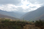
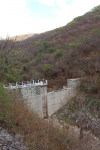
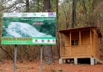
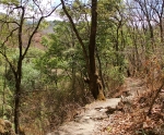
The small village of Tlalixtac lies 5.4 miles (8.7 km) east of Oaxaca city, a short distance north of the main highway to Tlacolula and Mitla. A number of good bike rides pass through this little town. This particular outing originates at the town square and proceeds on dirt roads and rocky singletrack up into a nearby mountain valley that provides water and firewood to the inhabitants of Tlalixtac. The road exists to service the four dams constructed in the lower part of the valley. Beyond the dams the path gradually diminishes until it is a narrow track through the forest — sometimes smooth and flowing; at other times studded with rocks. A skilled biker can ride the whole thing; average riders will likely have to hike-a-bike from time to time. There are fifteen creek crossings between the dams and the cascada at the far end of the valley (that makes 30 crossings out & back), but many are dry or have little water, depending on the time of year. There are no grand vistas to lure you up this trail, but you will surely enjoy the shady, winding path into the hills. This is also an excellent hiking trail, so feel free to ditch your bike and continue on foot if the going gets too intimidating for two-wheeled travel.
The distance from the Tlalixtac town center to the cascada is 13.7 miles (22.0 km) round trip, with an elevation gain and loss of 1283 feet (391 meters). If you choose to ride from the Zócalo in central Oaxaca (as shown on the second map below), you will accumulate a total of 24.5 miles (39.4 km) on the round trip, and the elevation gain & loss will amount to 2602 feet (793 meters). Either option is a pleasant ride.


