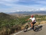
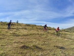
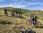
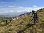
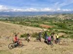
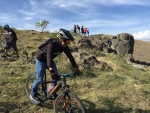
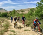
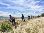
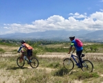
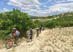
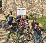
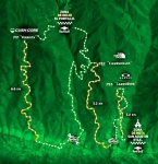
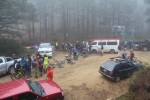
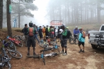
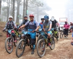
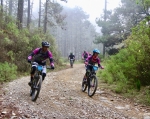
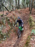
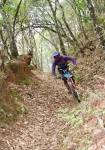
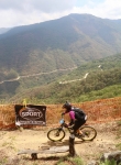
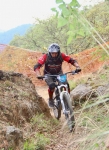
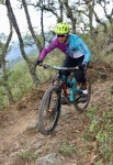
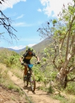
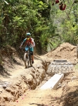
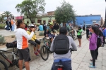
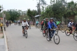
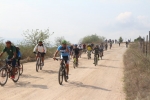
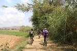
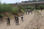
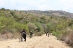
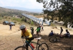
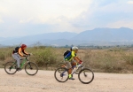
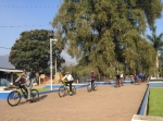
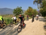
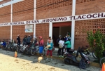
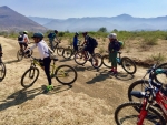
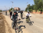
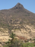
Another lovely Sunday morning; another Nitos ride into the countryside around Oaxaca – this time an exploration of the many farm access roads and single track trails in the hills north and west of Atzompa. It is truly amazing how many bikeable paths there are concentrated in a rather small area so close to the bustle of the capital city. It is also surprising what a challenge it can be to ride them! Today’s group of fifteen mountain bikers set out from the plaza in front of the church of Santo Domingo at 8 am, eager for a good ride. They were not disappointed! The loop trail first took the bikers up to the archeological ruins situated atop the hill overlooking Atzompa. From there the group descended into the village and then pedaled up, down and all around various hills in the area. From start to finish, the group rode 27.6 miles (44.4 kilometers), climbing and descending a total of 3202 feet (976 meters) along the way. Part of the up and down was on rather steep trails, some of which had gradients ranging from 20% to 29%. Everyone’s legs and lungs got a good workout!
Category: Photos
MTBing, Photos
Oaxaca: World Destination
by Larry • • 0 Comments
In recent months the city of Oaxaca has gotten great press. It has been mentioned in a number of magazines (most recently “National Geographic” and “Travel & Leisure”) as the 5th or 6th most desirable travel destination in the world — right up there with Paris, London, Venice and other renowned cities. Wow! Who would have thought? But it turns out Oaxaca has been a waypoint for cyclists touring Mexico – and the world – for quite a number of years. People riding bikes from Alaska to the furthest tip of South America pass through here; likewise those pedaling from extreme south to far-distant north. Today I met and rode with Andrew and Stephanie, two young people from Germany on a 3-year around-the-world bike tour. They left home two years ago, heading east through Iran, Kazakstan and China, then flying to Alaska to start their journey through North, Central and South America. Today was a well-earned one-day rest stop on their epic adventure. They were staying with Alex, who advertises his home as a way station on the “Warm Showers” network (https://www.warmshowers.org/). Omar and I met up with them and pedaled up to the archeological ruins of Monte Alban, the ancient Zapotec capital city and Oaxaca’s premier tourist attraction, situated on a hilltop 1326 feet above the floor of the central valley. We left them to explore the archeological site while Omar and I rode into the Etla valley to the west of Monte Alban and then back to our home. We wish Stephanie and Andrew well when they set out tomorrow on their way to Guatemala and points south. May they eventually return safely to Germany with legs of steel and endless happy memories!
Foothills, GPS, MTBing, Photos, Racing, Ride Routes
Enduro MTB Race
by Larry • • 0 Comments
The third round of the 2018 National Intense Enduro series took place in the mountains not far from Oaxaca city on Saturday, 5 May 2018. The race was held in three stages, using some of the nearby trails popular with local riders. The first stage utilized the Veredita trail, which begins at the summit of a logging road 3.2 miles (5.1 kms) above the village of Guacamaya 23 miles (37 kms) north of Oaxaca city in the Sierra Norte range. With the starting gate at an altitude of 9051 feet (2758 meters), this was the highest point of the race circuit. This trail runs downhill 8.6 miles (13.8 kms), ending near the town of San Miguel Etla, a descent of 4998 feet (1523 meters). From that point, race contestants had to either shuttle or pedal back up the mountain to the ecotourism camp of Cieneguillas, where they then rode the single track Cieneguillas trail 3.9 miles (5.2 kms) down to San Agustin Etla, losing 2240 feet (683 meters) along the way. Then it was back up the mountainside to catch a short portion of the Carroñera race course trail, which drops 2.0 miles (3.2 kms) back to San Agustin, generally following the aqueduct that carries water into the village. This last section was the mildest, dropping just 863 feet (263 meters). The race concluded at the Casa de las Artes in San Agustin, a very impressive structure that once housed a large textile mill, now converted into a center which displays traveling exhibits of art from Mexico and other countries of Central America.
Map of the Veredita trail:
Map of the Cieneguillas trail:
Map of San Agustin Etla Aqueduct trail:
Countryside, GPS, MTBing, Photos
Ride to the Huitzo Reservoir
by Larry • • 0 Comments
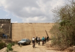
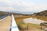
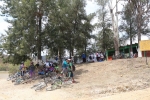
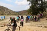
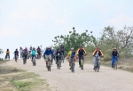
It is not often any more that a Sunday bike ride comes along that catches my fancy because it goes to a new destination and/or promises a route I have never ridden before. Such was the proposal, though, for a ride on 29 April 2018 jointly sponsored by the “Nitos Ciclistas en Movimiento” club in Oaxaca and the “BigBikers” group from nearby San Lorenzo Cacaotepec. The day was mild, with temperatures mostly in the 70’s Fahrenheit (low 20’s Celsius) and heavily overcast skies – a great day for a ride through the countryside. And what a ride! The route from el centro in Oaxaca to the dam and reservoir in Huitzo covered 50.8 miles (81.75 kms) round trip. Given the distance, it was fortunate the terrain was mostly flat, with just a few mild climbs and descents. All told, riders climbed 1366 feet (416 meters) and then lost the same amount along the way. A total of 39 people took part in the outing, 16 coming from the BigBikers and 23 from the Nitos group. Ten of the mountain bikers were women, and among the males were three teenagers and two pre-teens. It was a nice mix of riders. The band departed from Santo Domingo church at 8:10 am and returned just before 5:00 pm, for an elapsed time of just under nine hours. That time frame included a stop of over an hour in Suchilquitongo for breakfast, a generous rest stop at the presa outside Huitzo, and about forty minutes to relax and chow down at the “HuitzoLandia” family amusement center in Huitzo on the return leg of the trip. Fortunately, the afternoon thundershowers that were forecast did not amount to anything, and what little rain fell was off to the west of our route. All in all, it was a very pleasant day.
Countryside, GPS, MTBing, Outing, Photos
Riding With The Nitos Group Again
by Larry • • 0 Comments
First of all, a word of explanation as to why there has been no mention of the Nitos Ciclistas En Movimiento mountain bike club on this web site the past many months. Nitos got started about four years ago and quickly developed a reputation for regular Sunday morning rides. Their outings were announced on the club’s Facebook page on Saturday and typically attracted twenty or more riders each week. Then suddenly, in February of 2017, no more Facebook postings appeared. Some feared the club had disbanded. It turns out, though, the group was using a different Facebook page — one this author was not aware of. So for the past year I have been missing out on a host of fun rides. Finally, a friend clued me in on what had happened. Now I know to check this address to be advised of Nitos’ rides: https://www.facebook.com/nitosoaxaca/
So here it is a bright Sunday morning in Oaxaca in early April and the Nitos group is planning a ride from el centro to the presa near Teotitlan del Valle and back. Twenty-four eager cyclists are gathered at 8 am in front of the church of Santo Domingo. After some gentle warm-up exercises, the band mounts up and takes the bike lane to Tule, then heads cross-country on dirt roads through Lachigoló, Tlacochahuaya and Macuilxochil on the way to Teotitlan. The group is a good mix of men and women, ranging in age from mid-teens to mid-70’s, with most riders comfortably in their 20’s and 30’s. The leaders set a moderate pace, with frequent brief stops to let the slower riders catch up. The terrain in the Tlacolula Valley is pretty flat, with an elevation gain and loss of little more than 500 feet (152 meters) so the pedaling is easy. The riders cover the 20 miles (32 kms) to Teotitlan in about three hours, then stop for lunch at the picnic area just recently built on the shore of the lake. The return to Oaxaca is even easier, as it flows gently downhill almost all the way.
