Category: GPS

Items containing GPS data (either the downloadable KML/Z or GPX file) &/or a map that displays such data.

Nitos Ride on San Felipe del Agua Trails

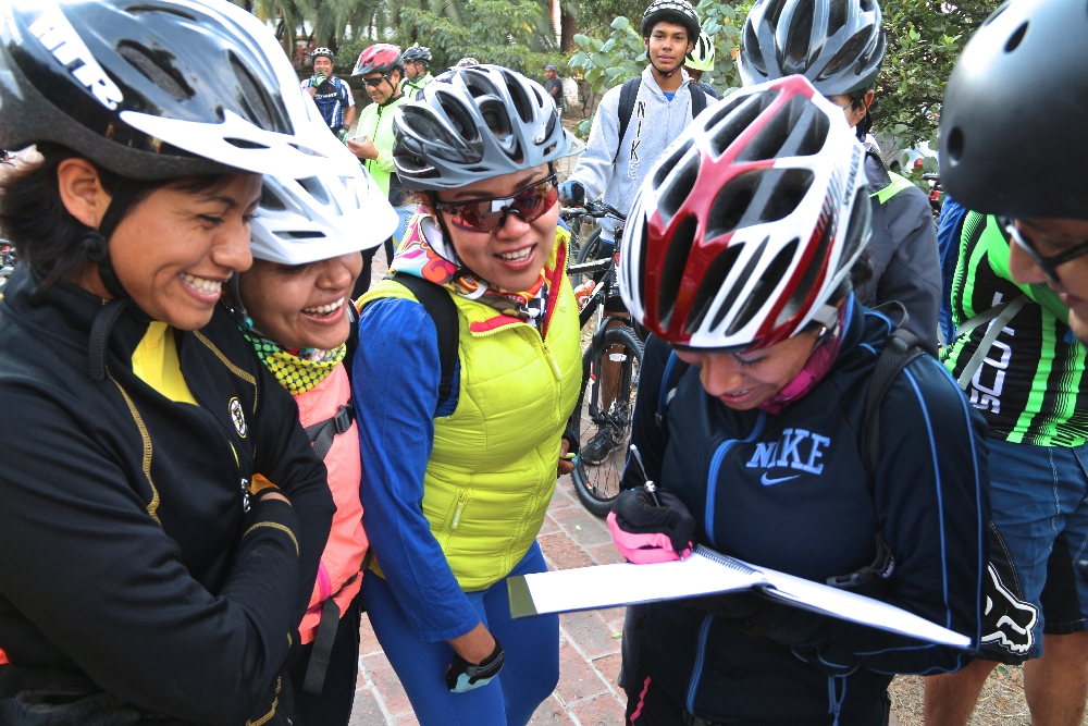
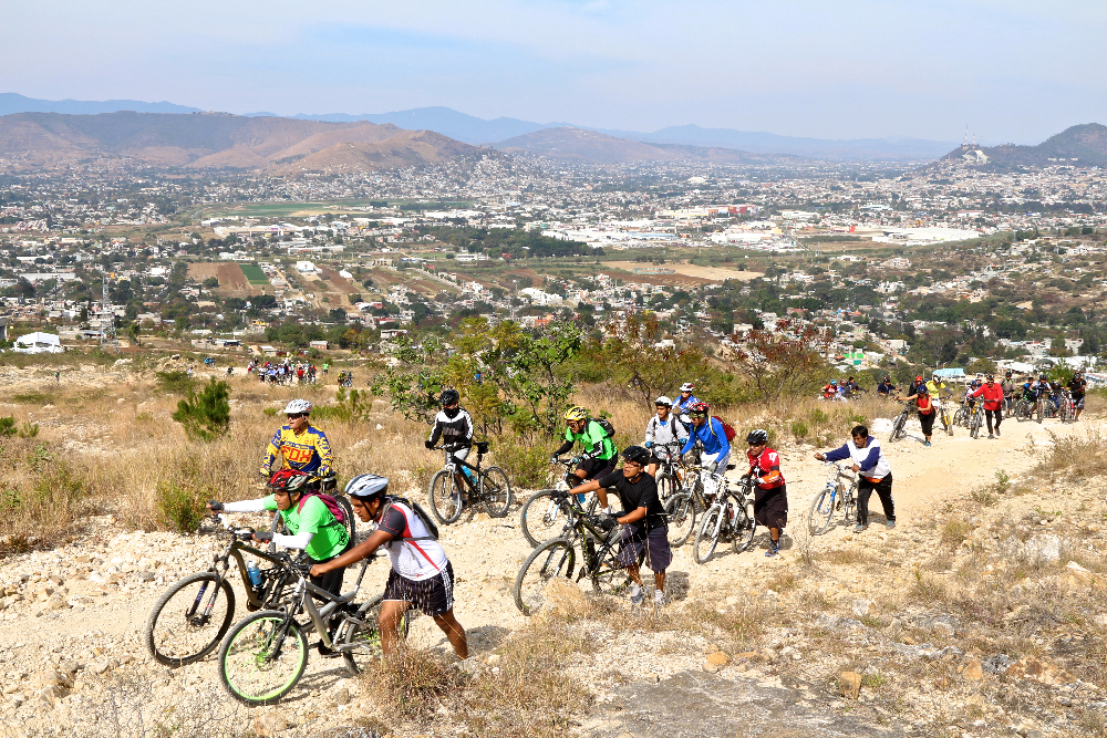
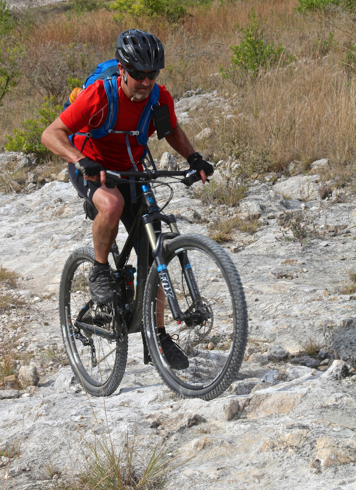
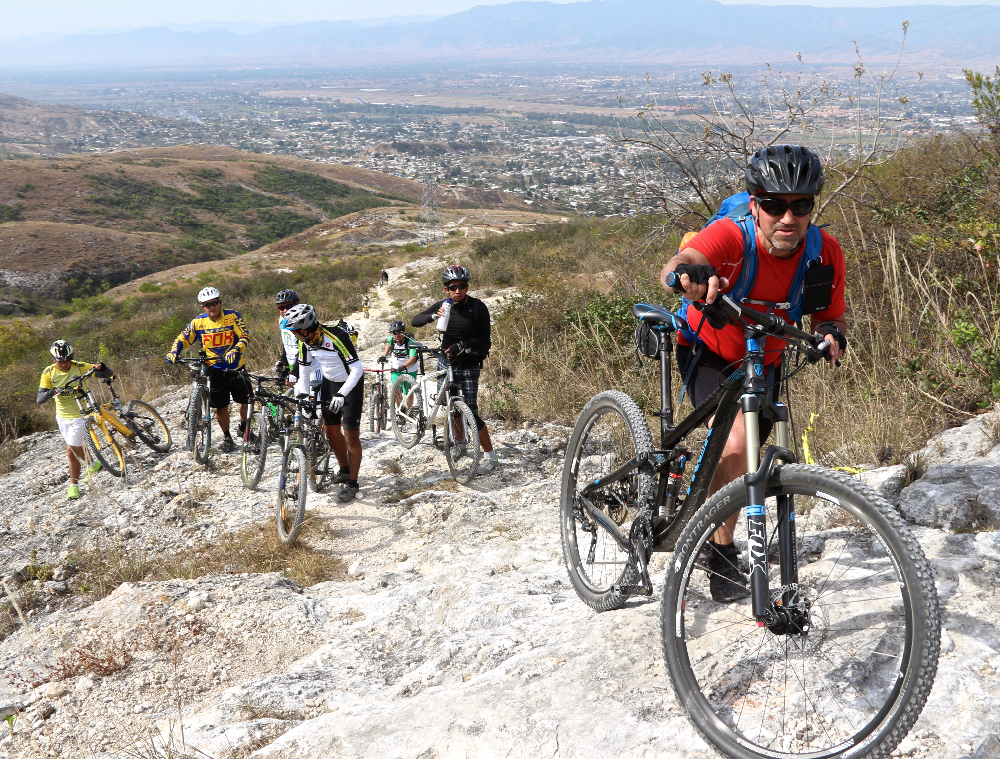
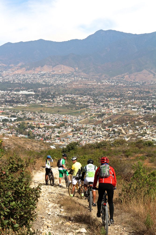
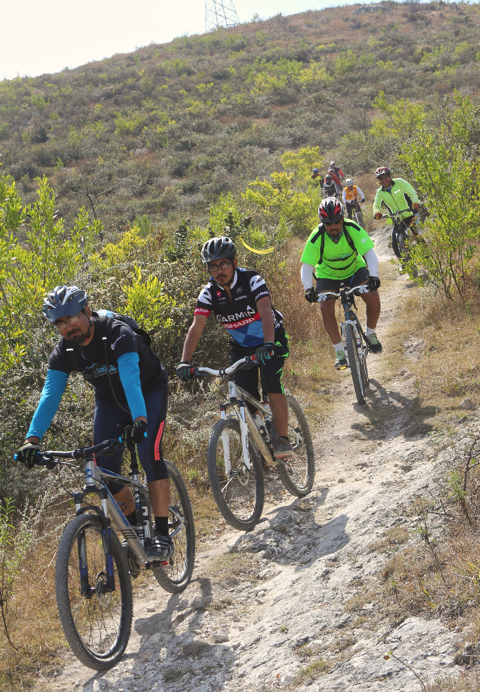
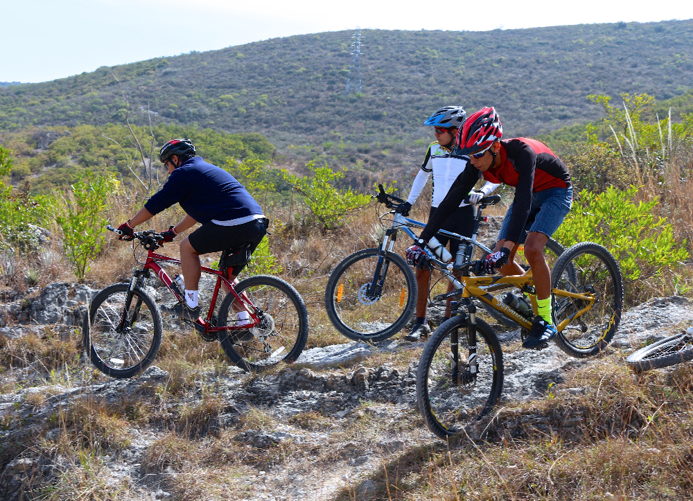
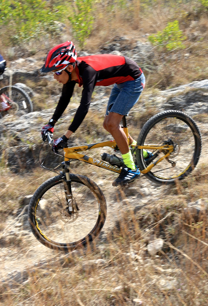
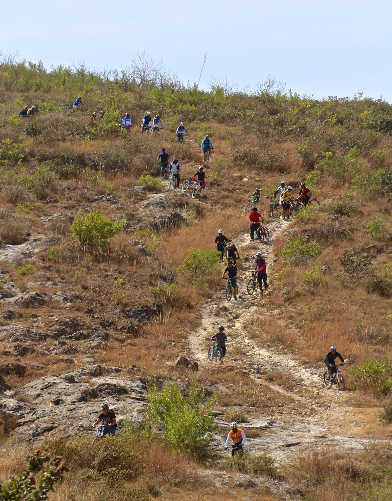
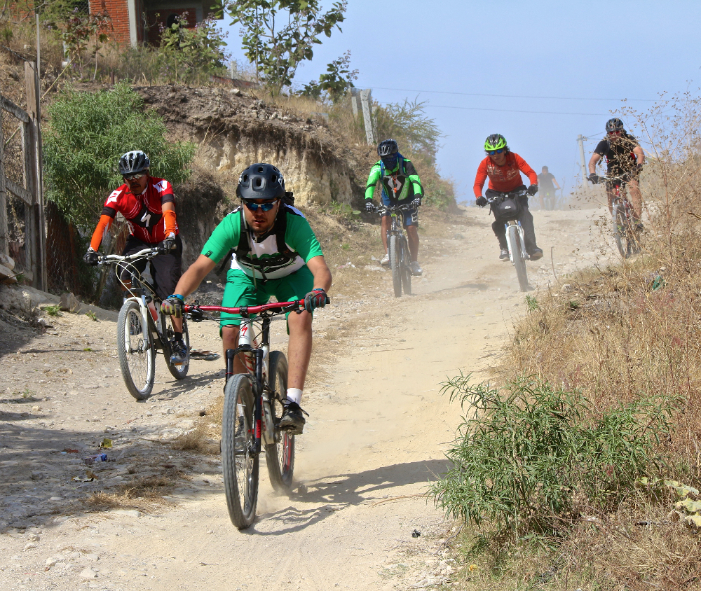
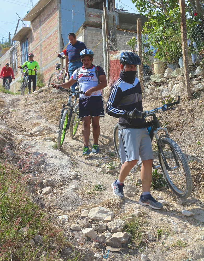
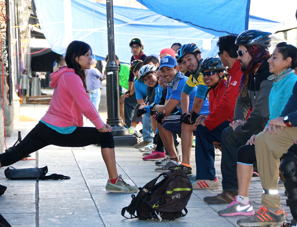
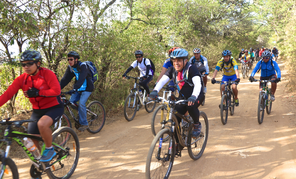
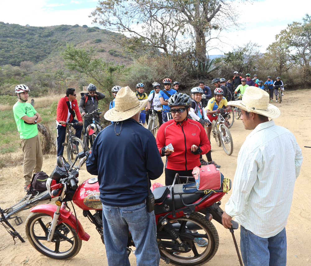
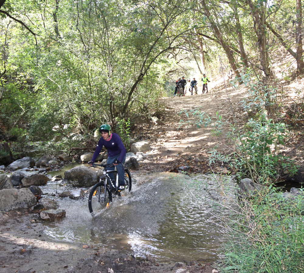
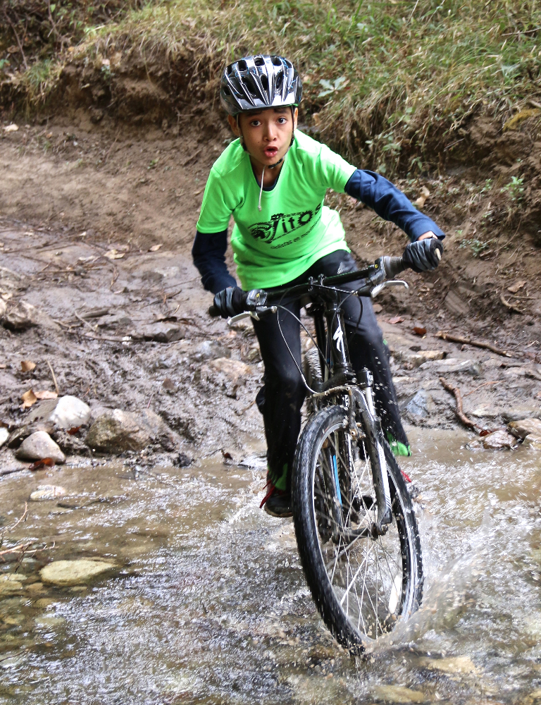
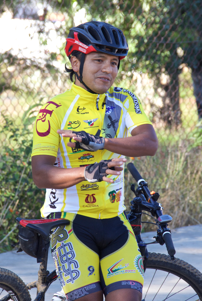
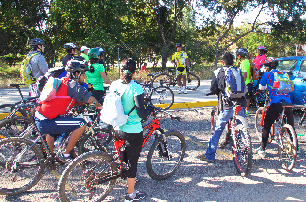
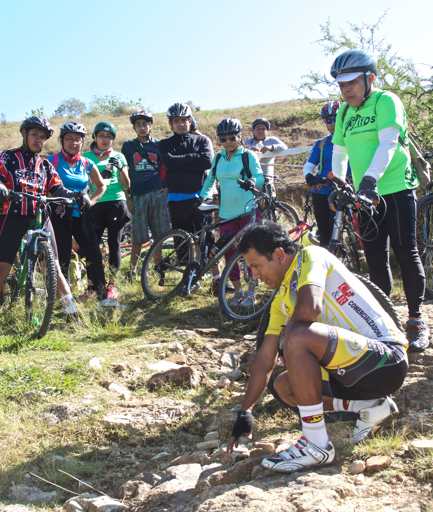
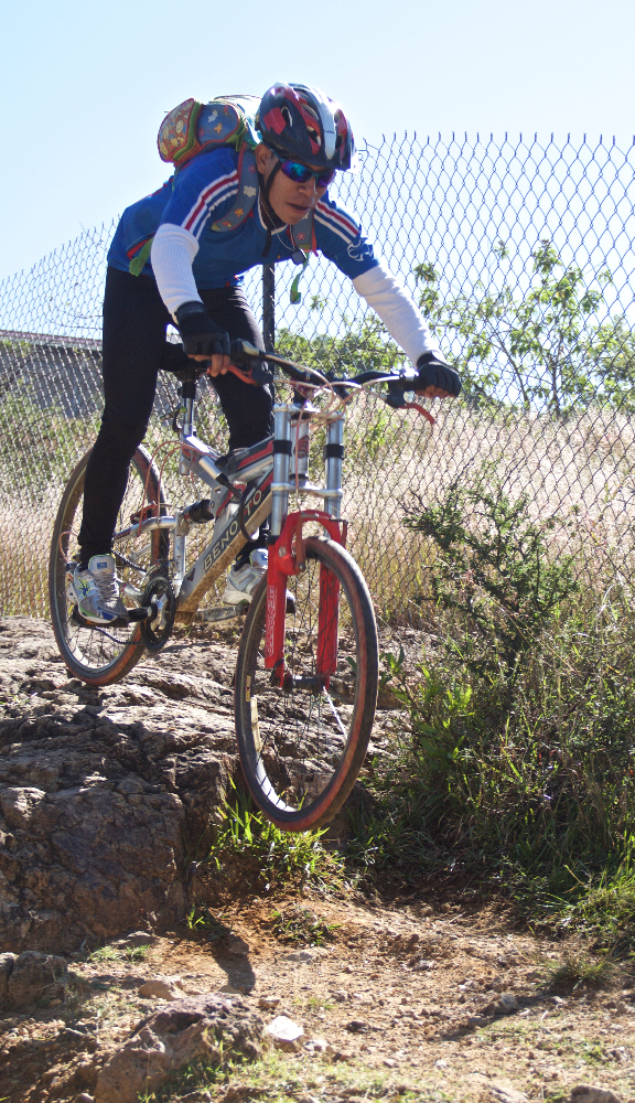
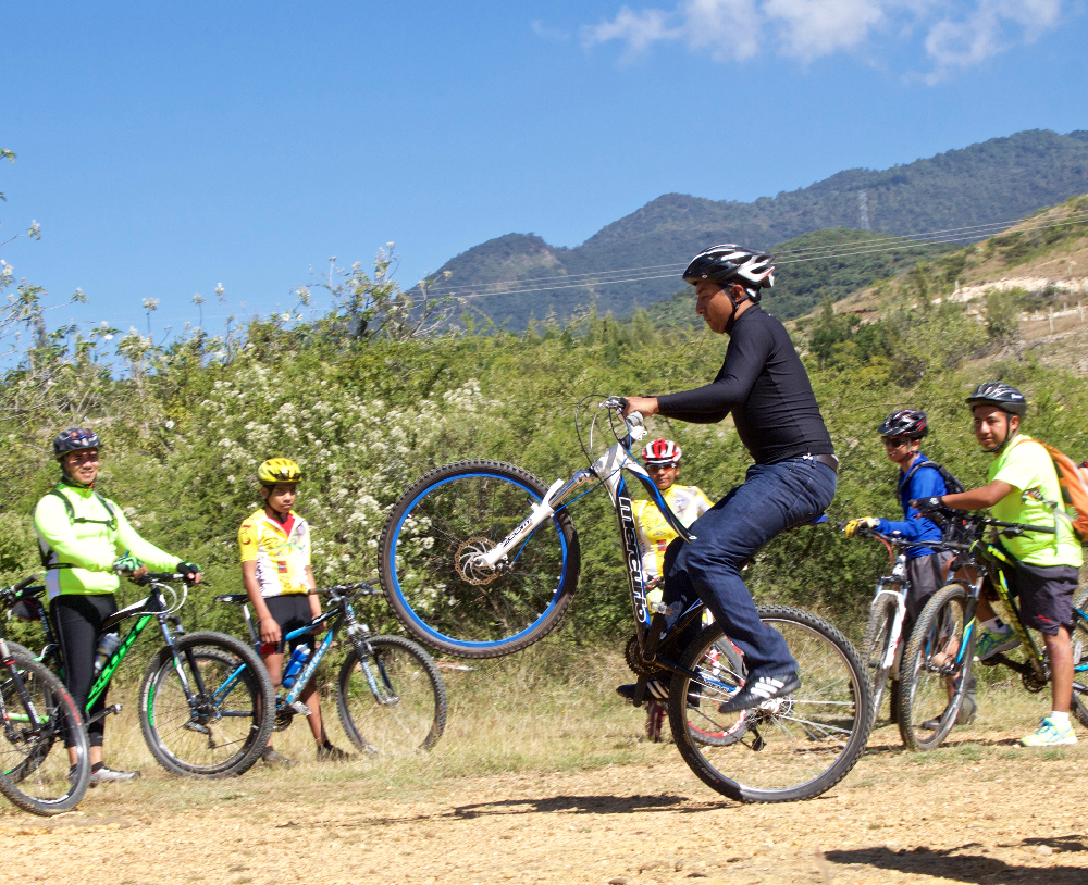
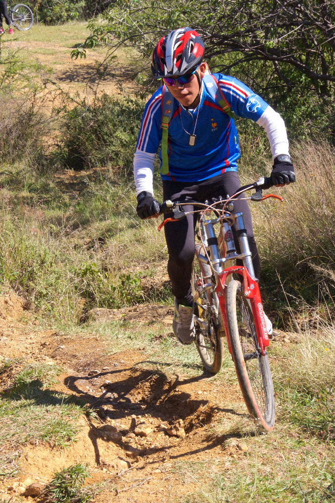
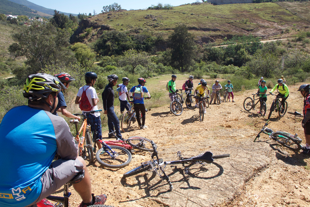
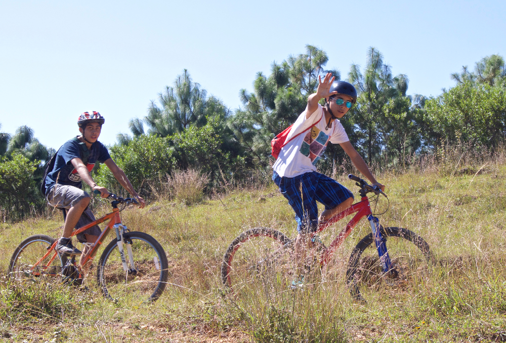
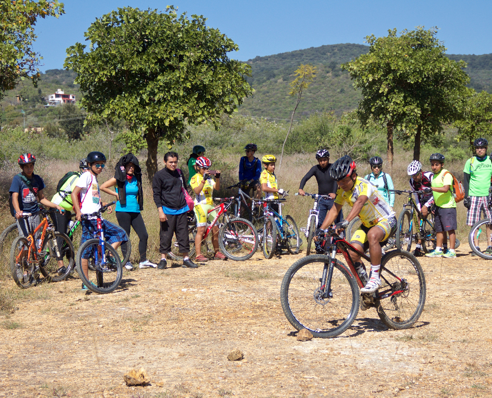
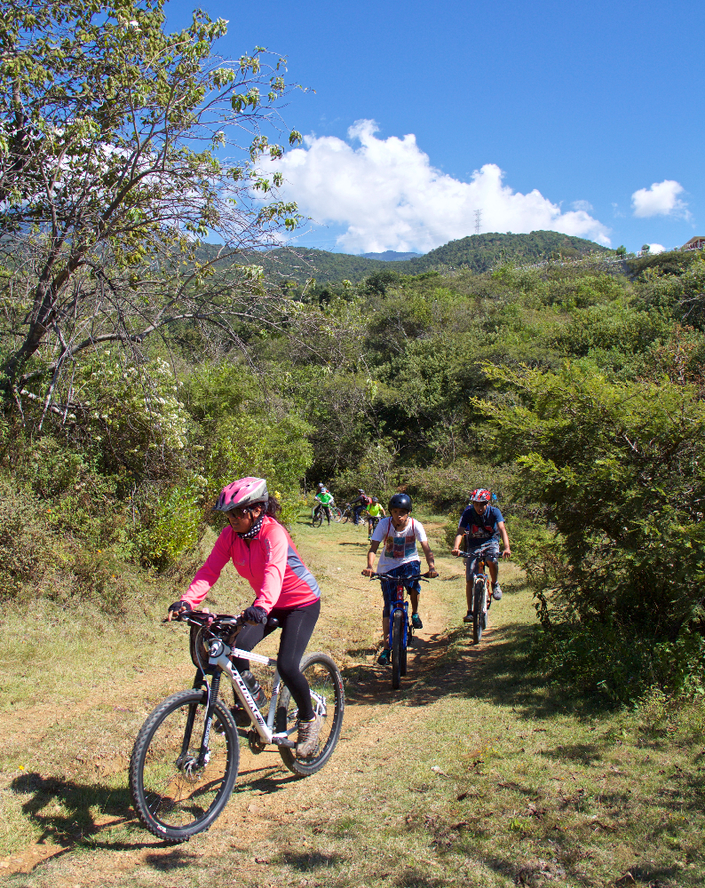
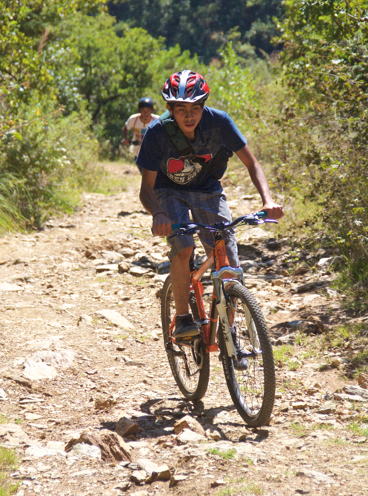
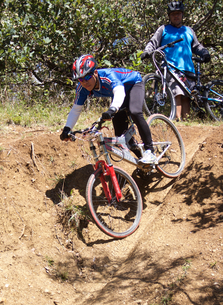
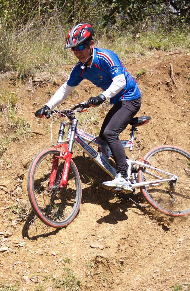
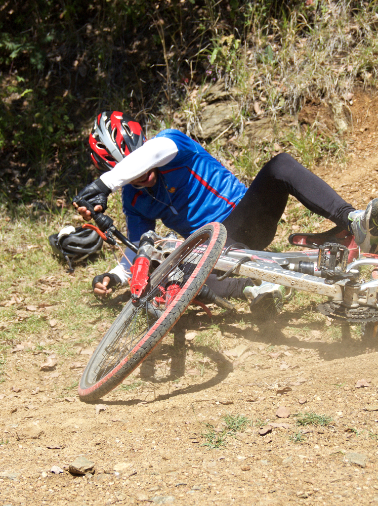
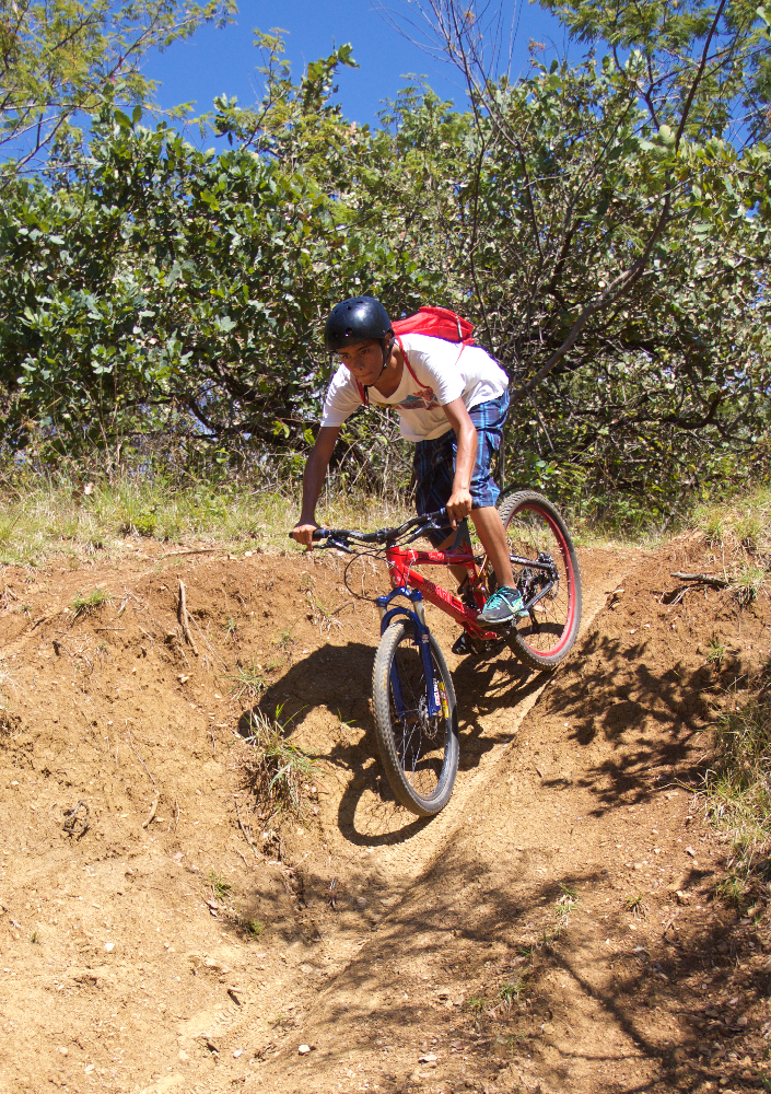
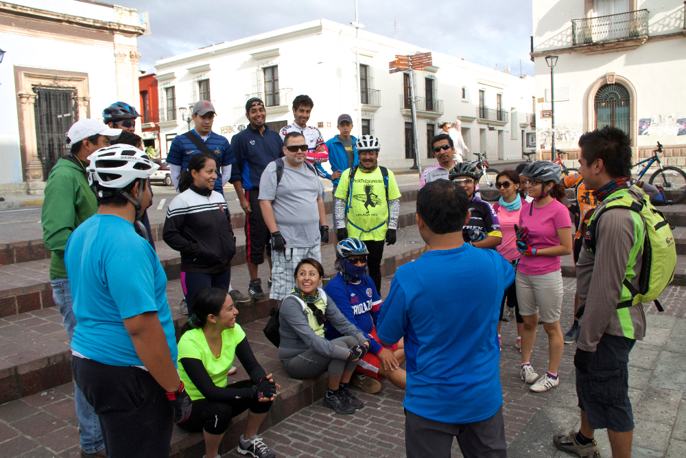
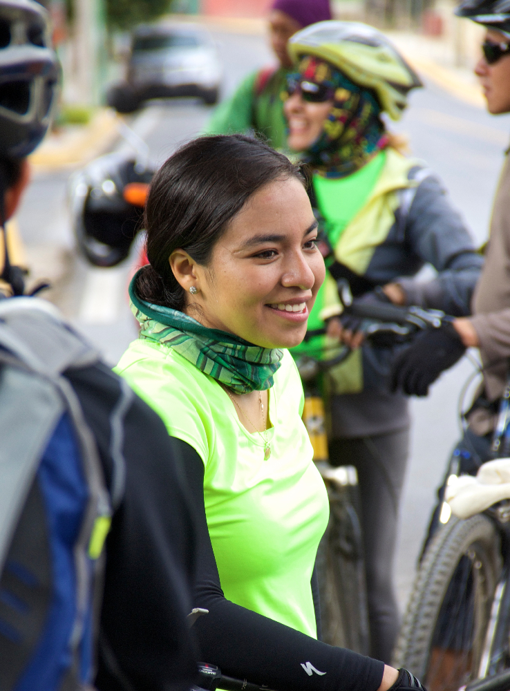
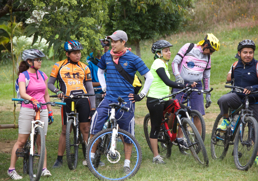
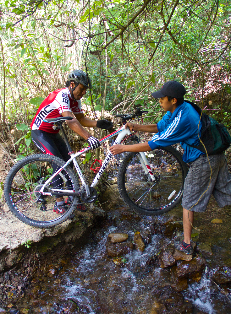
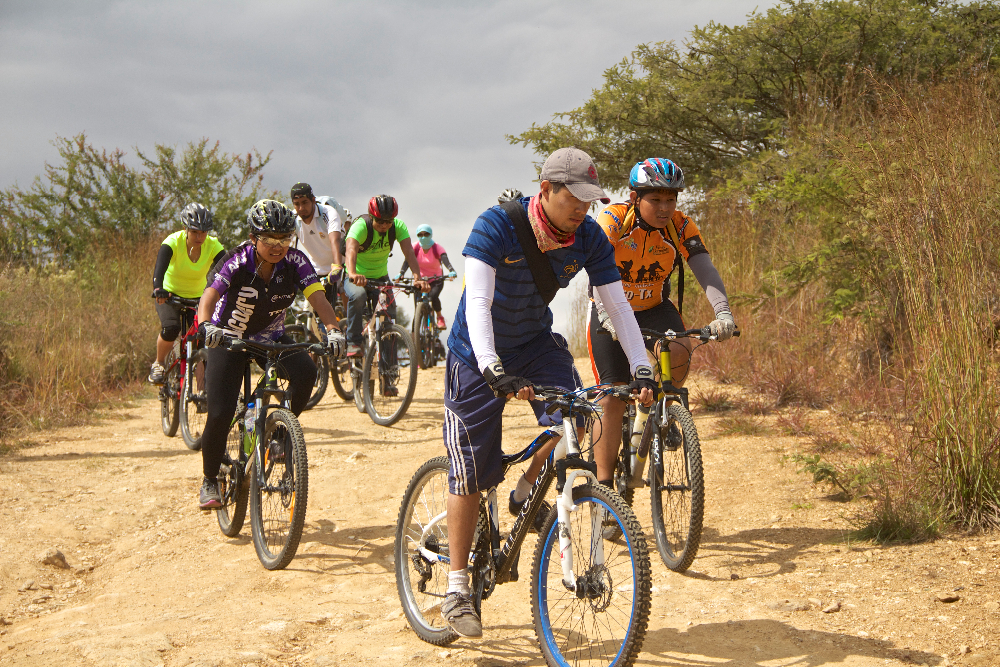
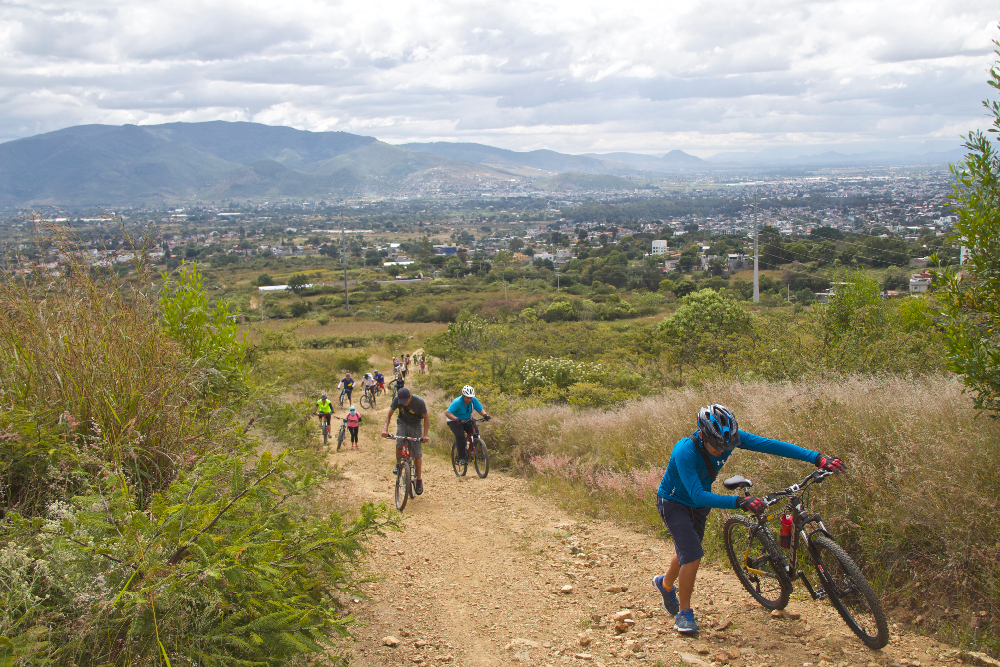
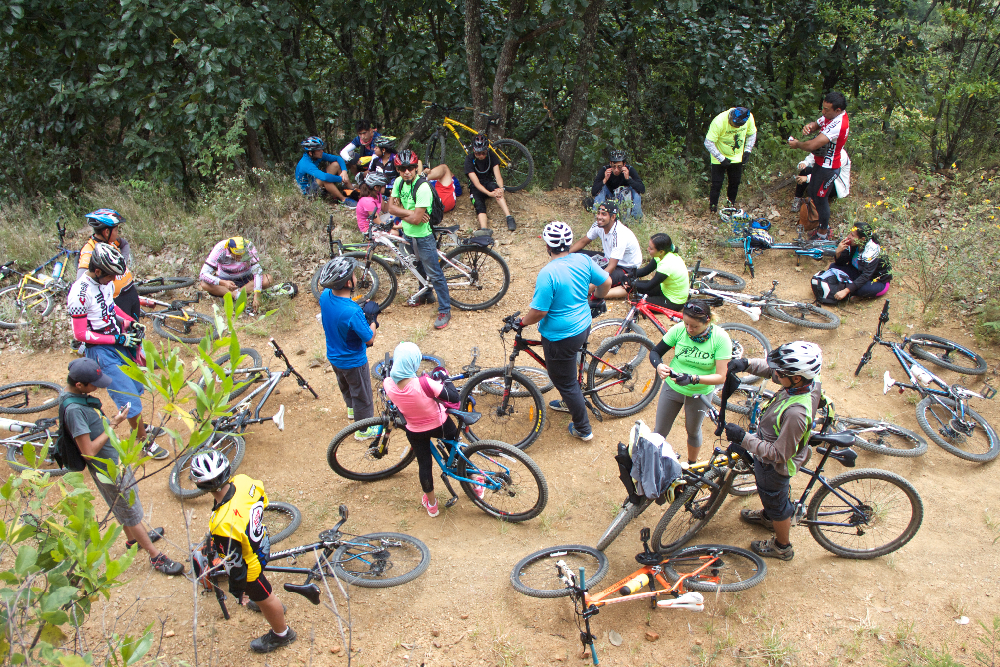
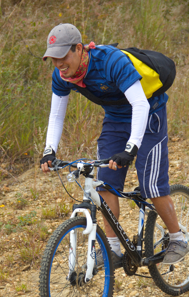
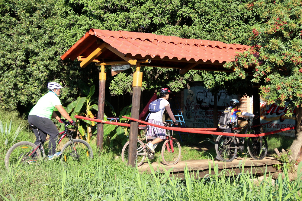
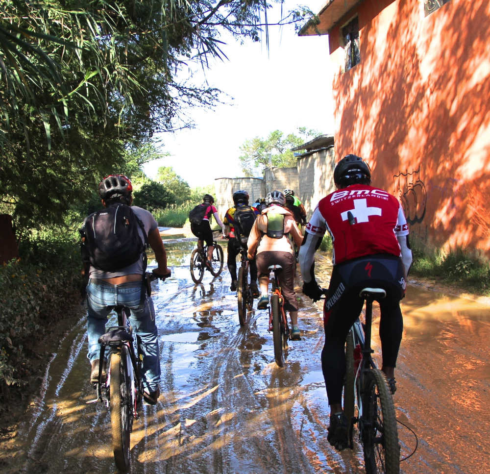
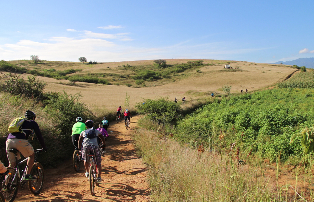
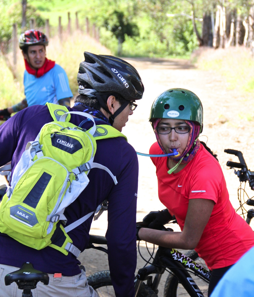
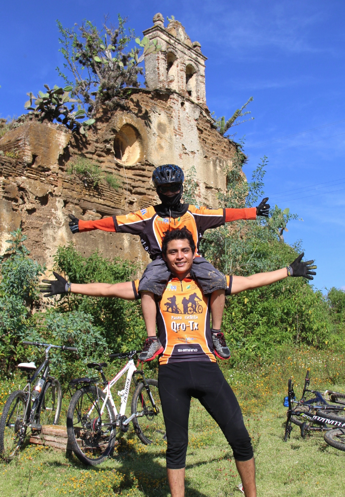
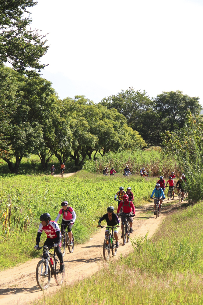
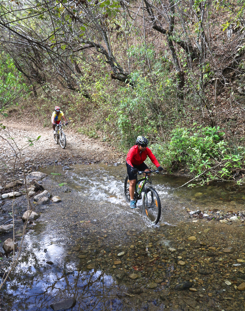
For this Sunday’s ride the Nitos bike club tried something different. Carlos, an experienced rider and mountain bike racer, was asked to accompany the group and give basic instructions on mountain biking along the way. He did a very thorough and professional job — starting with how to get a proper bike fit and how to set up the bike; then going on to give riding tips and demonstrating how to ride, climb and descend. Various segments of the San Felipe trail network provided the backdrop for Carlos’ instructions and the terrain for participants to practice using his advice.

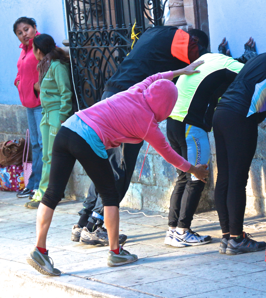
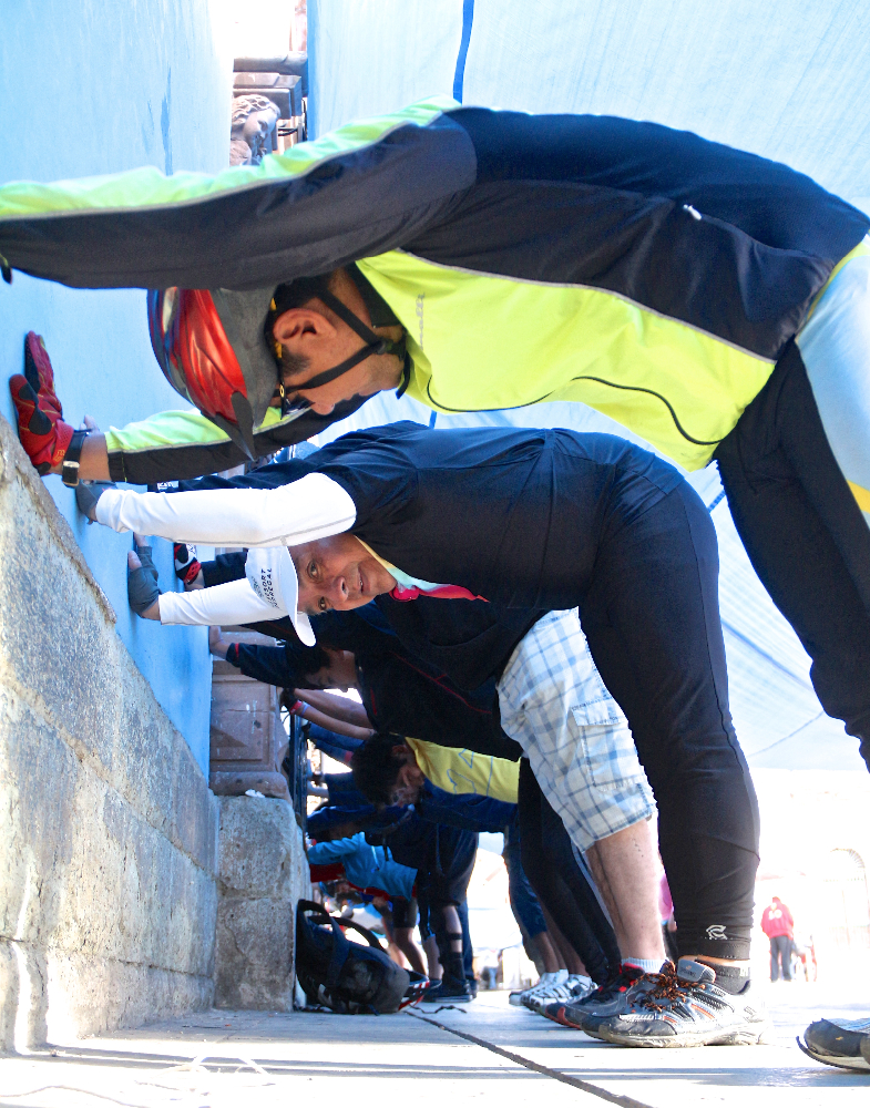
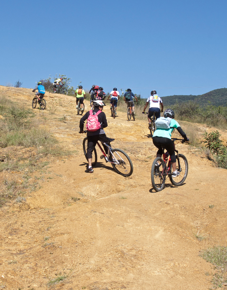
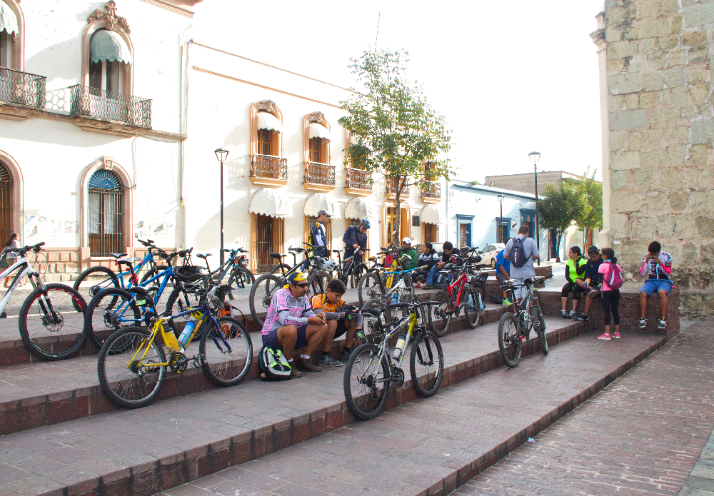
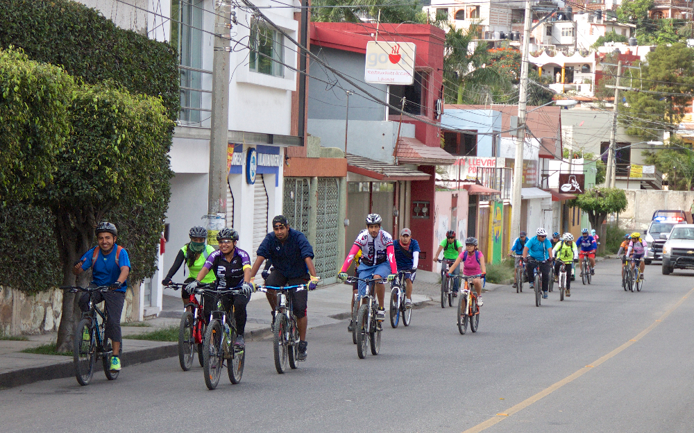
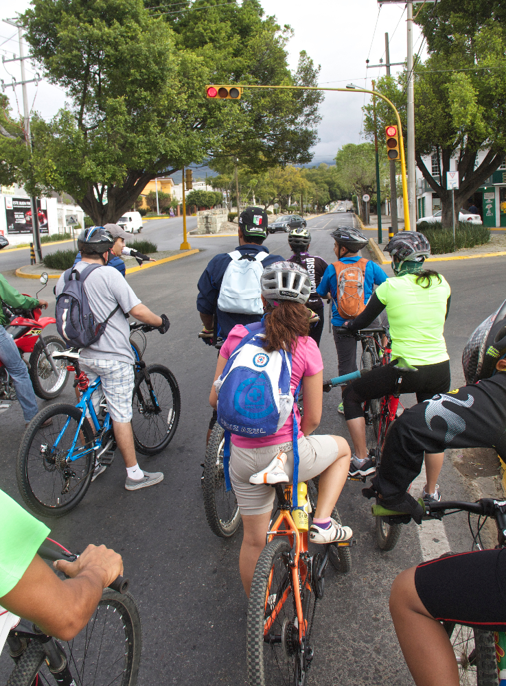
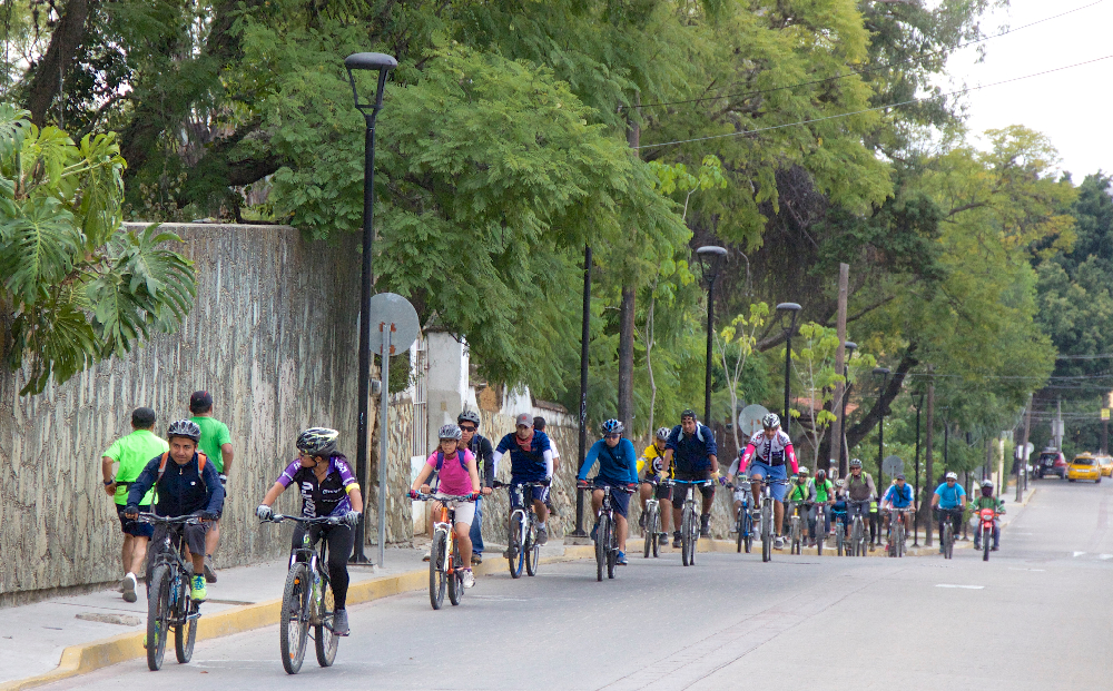
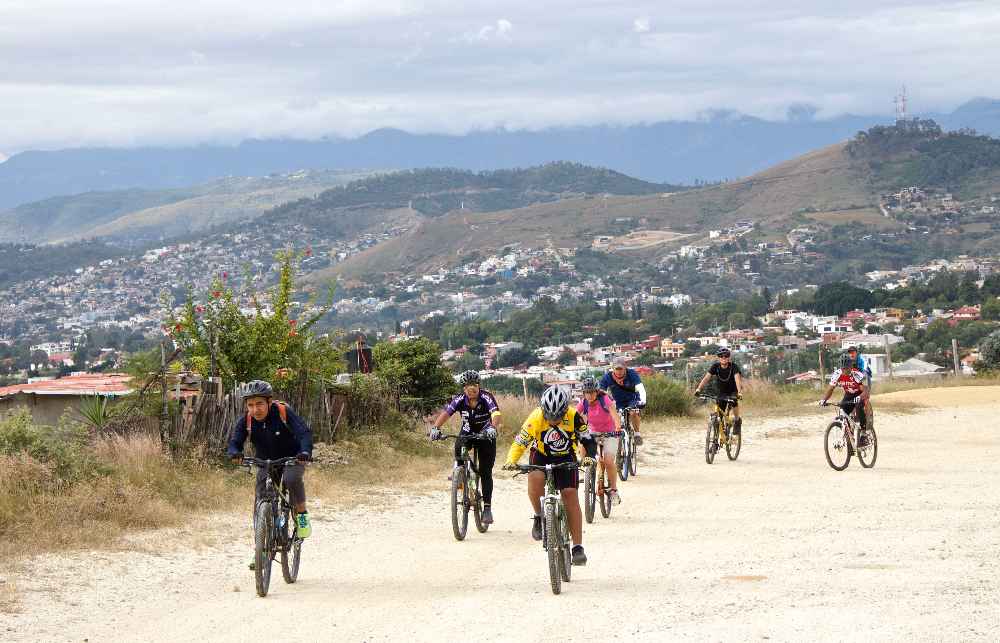
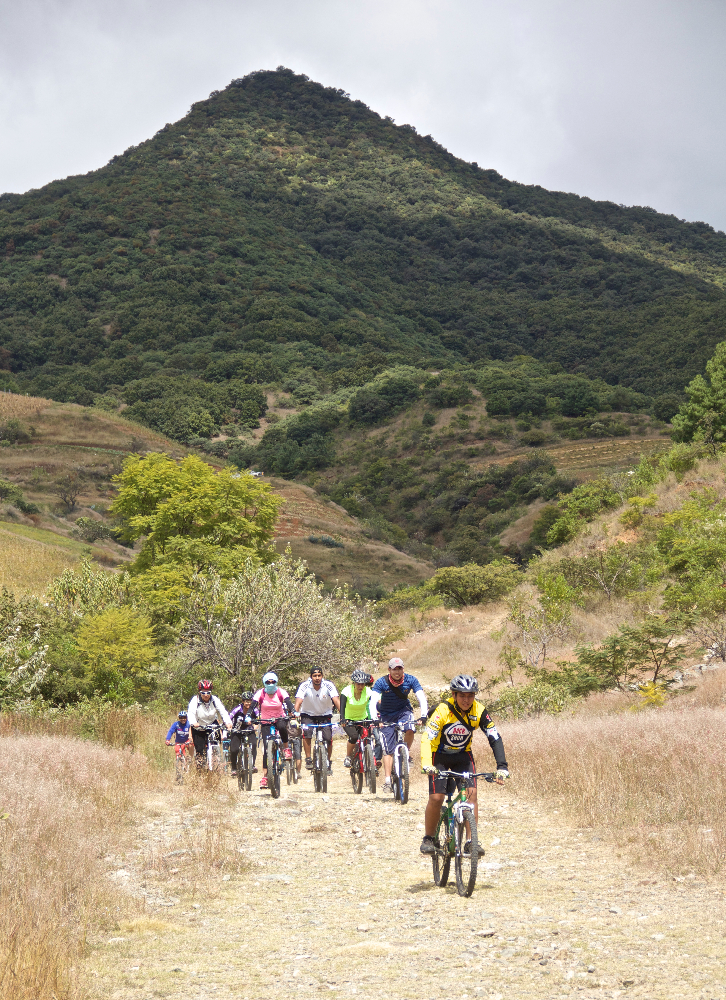
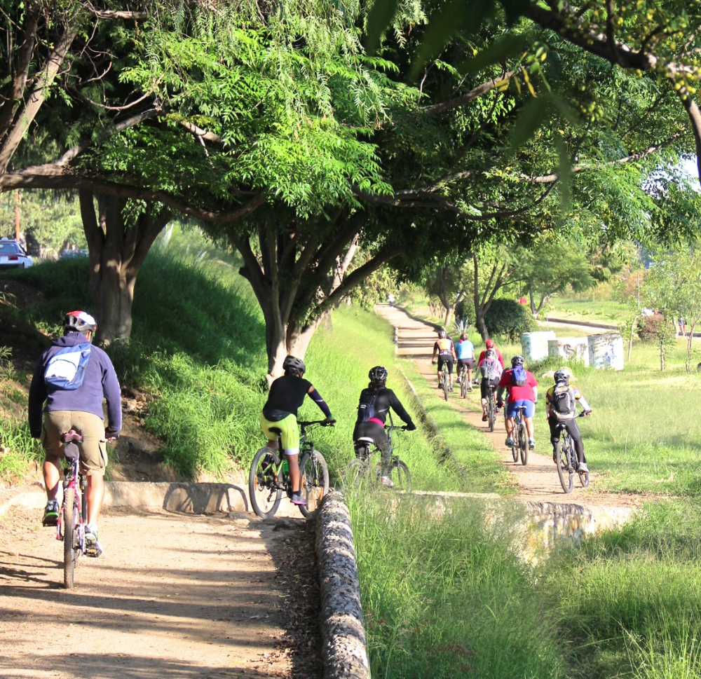
The ride began, as usual, at the Church of St. Augustine in el centro. Riders used city streets to climb to San Felipe, where they set off on dirt roads and single track trails that continued on into the foothills of the Sierra Norte below Cerro San Felipe. The ride totaled 13.1 miles (21.1 km) and had an elevation gain and loss of 1690 feet (515 meters).

Este domingo el Club Nitos decidió intentar algo diferente. Carlos, un ciclista de mucha experiencia, nos acompañó y ofreció instrucción básica sobre ciclismo de montaña durante el viaje. Carlos fue un excelente guía y muy profesional—empezando con como escoger subicicleta y como equiparla luego dió consejos y él mismo mostró como elciclista se debiera montar, subir y descender durante un paseo o una carrera.Varias partes de la red de San Felipe se prestaron un terreno muy adecuado para que los participantes podían practicar lo que él enseñaba.


Nitos Ride to Huayapam

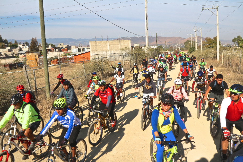
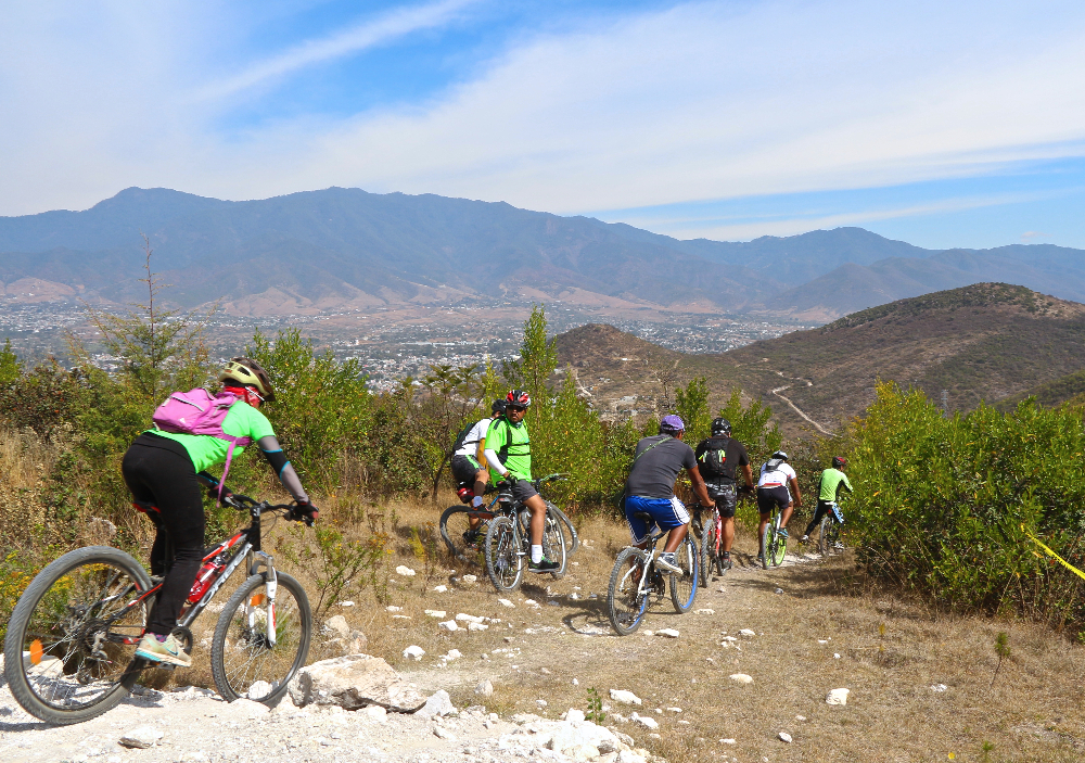
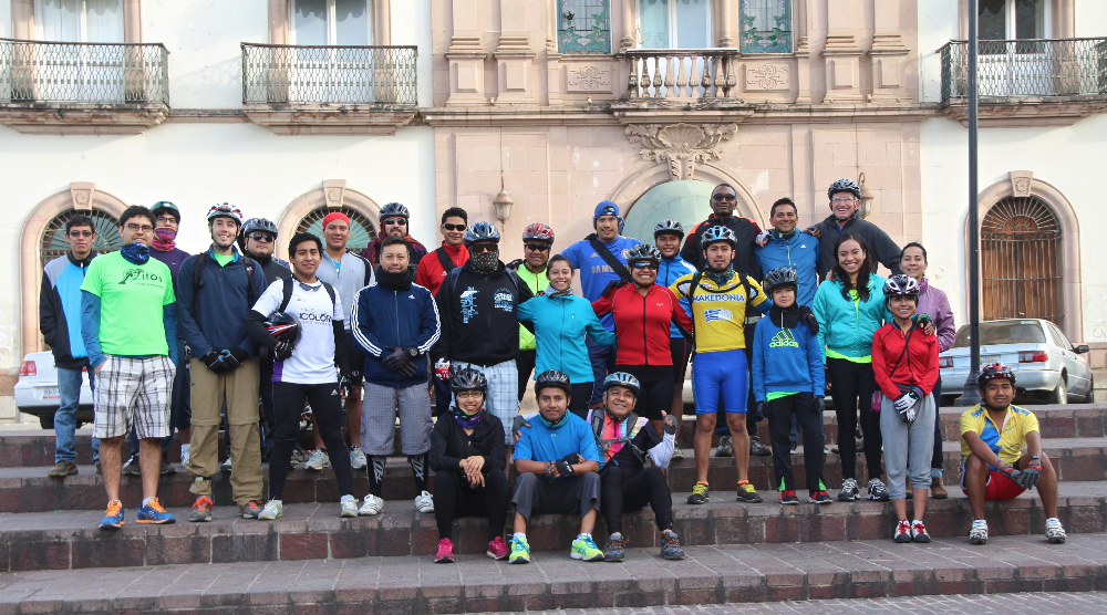
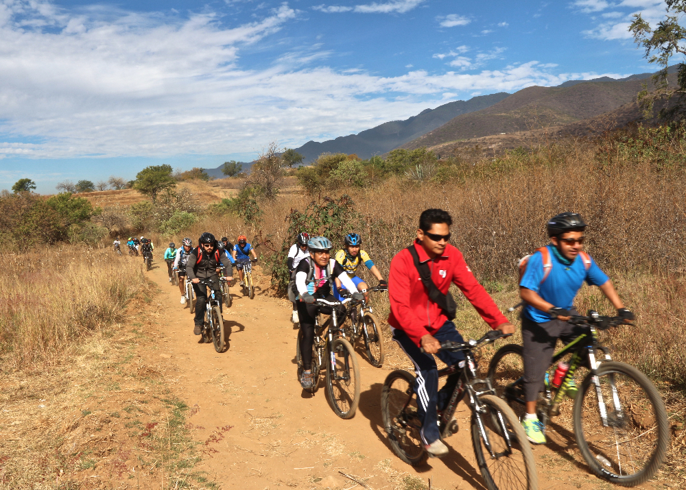
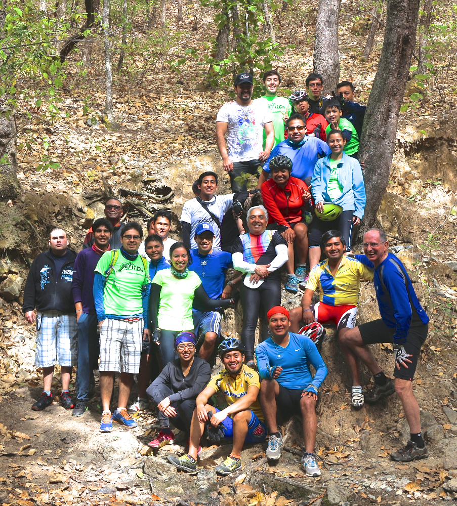
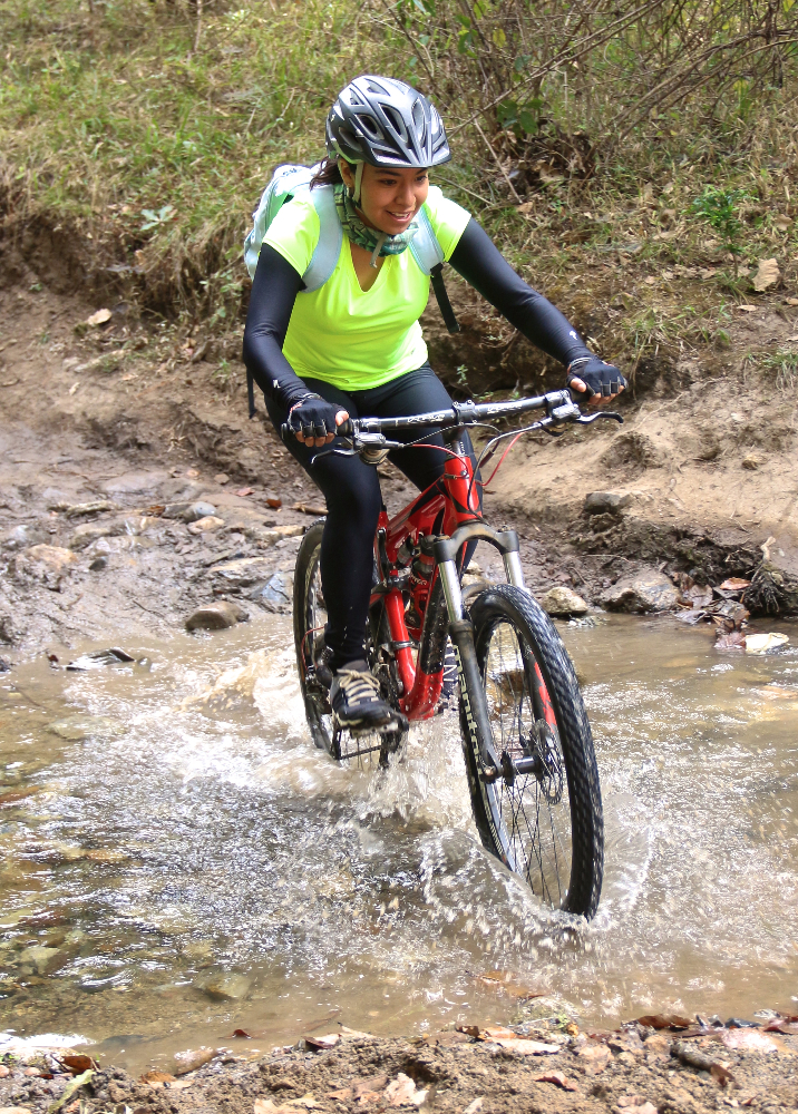
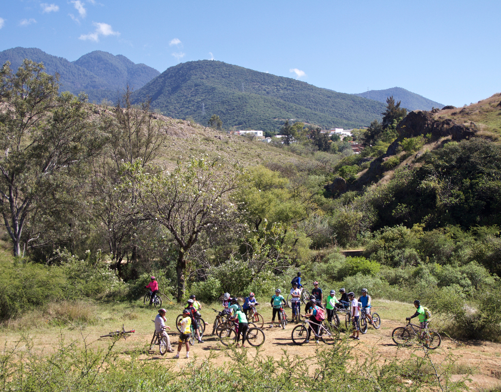
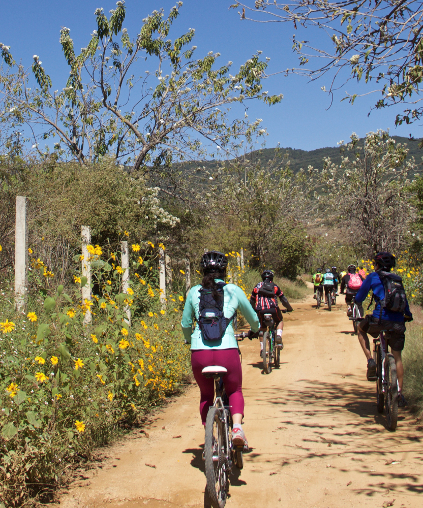
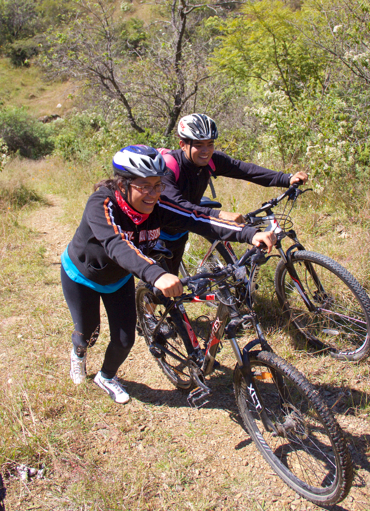
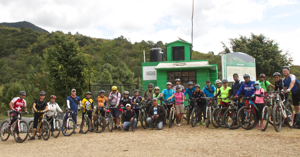
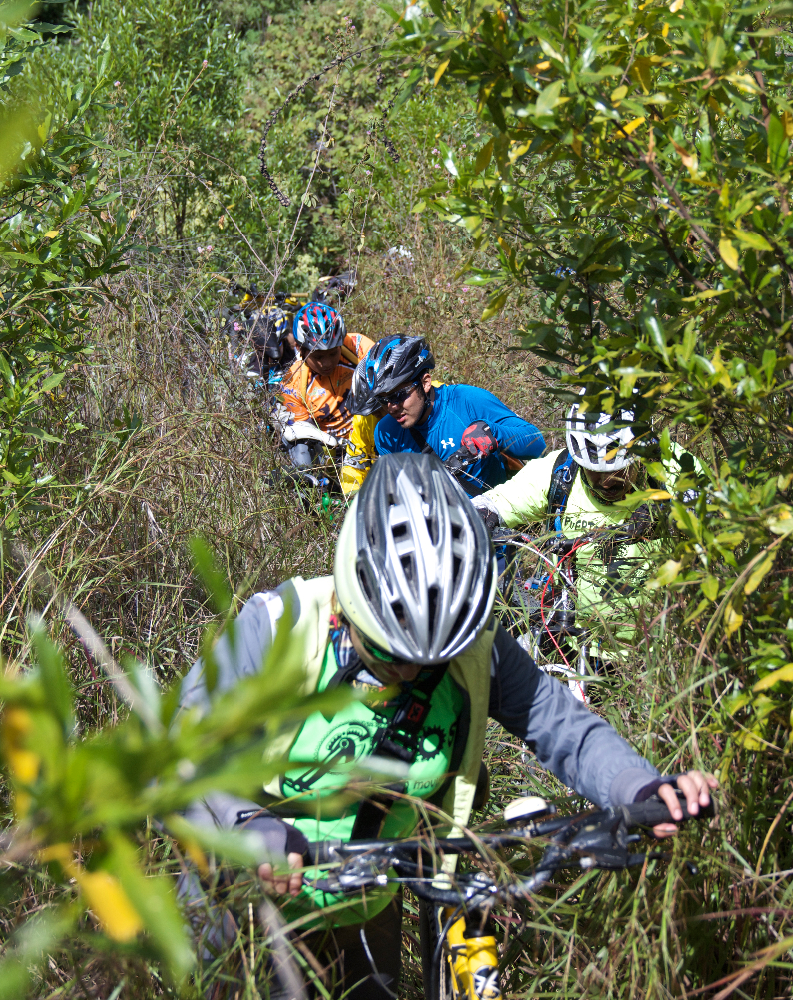
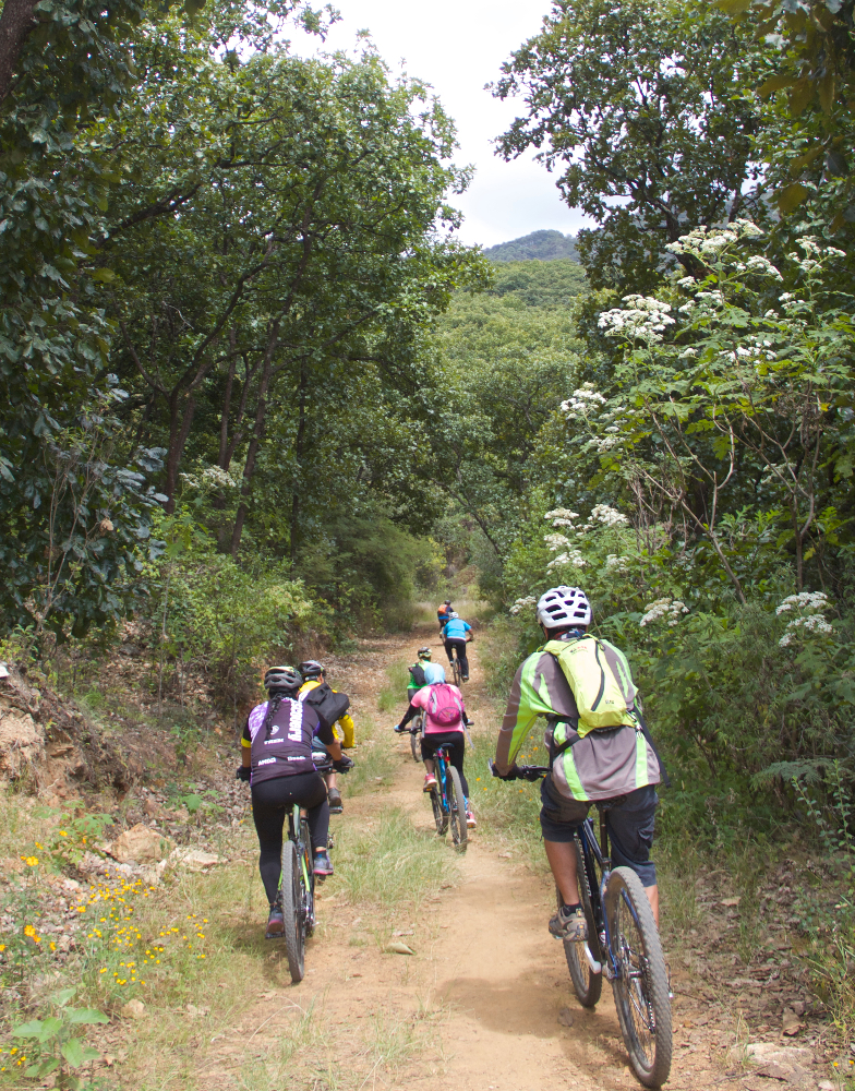
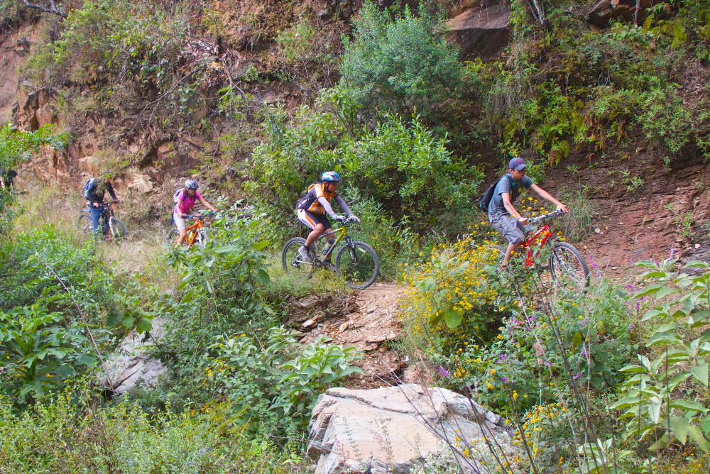
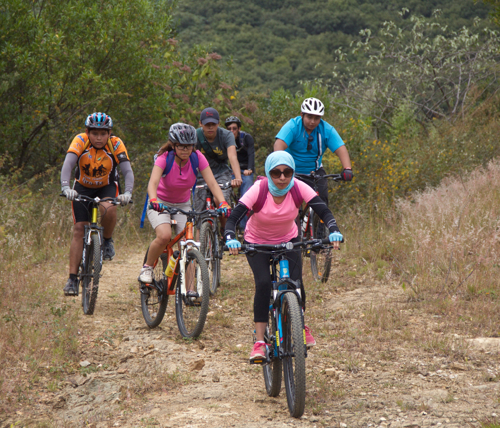
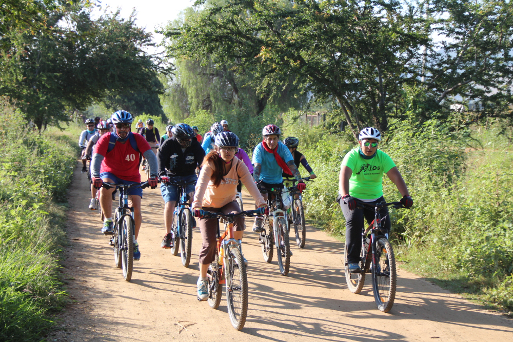
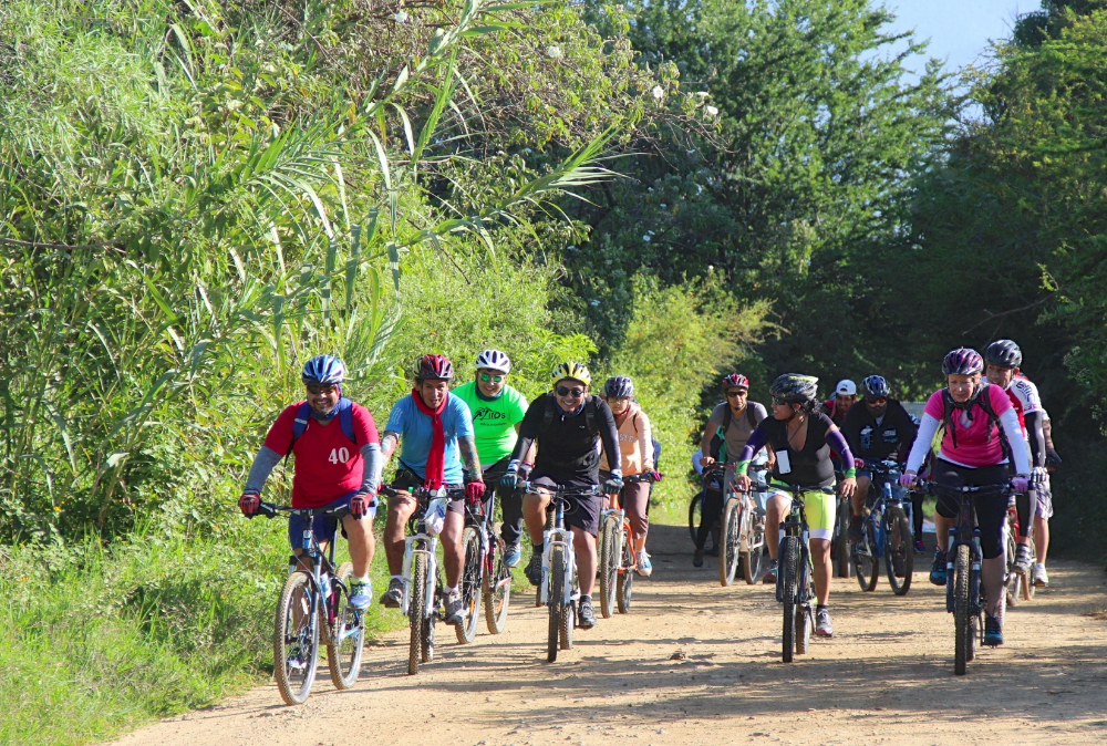
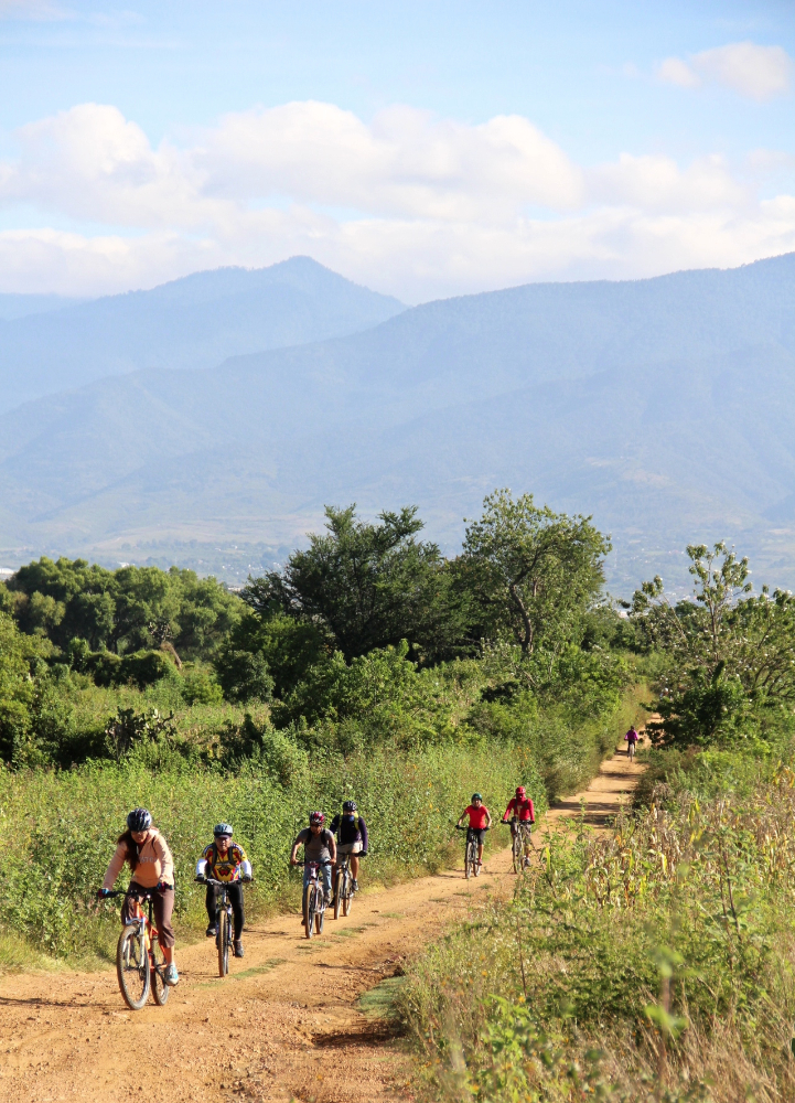
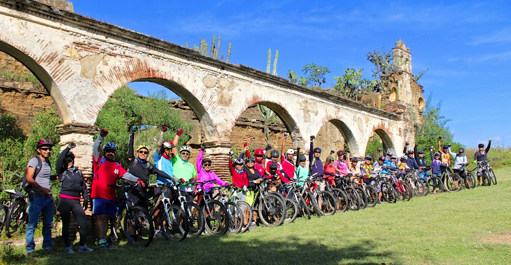
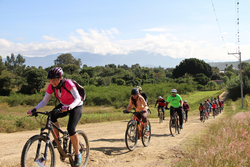
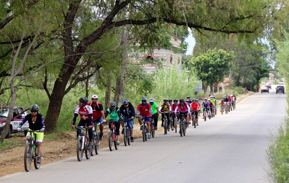
Twenty-five members of the Nitos club set out this Sunday morning for a ride along the lower flank of the Sierra Norte, following roads and trails running from San Felipe del Agua through Donaji and into Huayapam. The circular route ran a total of 15.0 miles (24.1 km) through some steep and heavily wooded terrain, with an elevation gain and loss of 1747 feet (532.5 meters) along the way. Weather conditions were excellent, and for the first time in a long while there was no mud to slither through. The group set out from downtown Oaxaca shortly after 8 am and finished the ride back at our starting point by 1:30 in the afternoon.

25 socios del Club Nitos emprendieron un viaje a través del costado de la Sierra Norte viajando por carreteras y caminos pasado por Donaji y terminando en Huayapam.  La ruta de ida y vuelta era de 15 millas (24.1 kilometros) y pasó por áreas de empinados caminos y bosques, con un cambio de altura de 532.5 metros durante el viaje.   Las condiciones de clima y terreno eran excelentes y por primera vez en algún tiempo no había lodo.  El grupo salió del centro de Oaxaca a las 8 de la mañana y terminó el viaje donde habíamos comenzado a la 1:30 de la tarde.

Nitos Ride To San Andres Ixtlahuaca

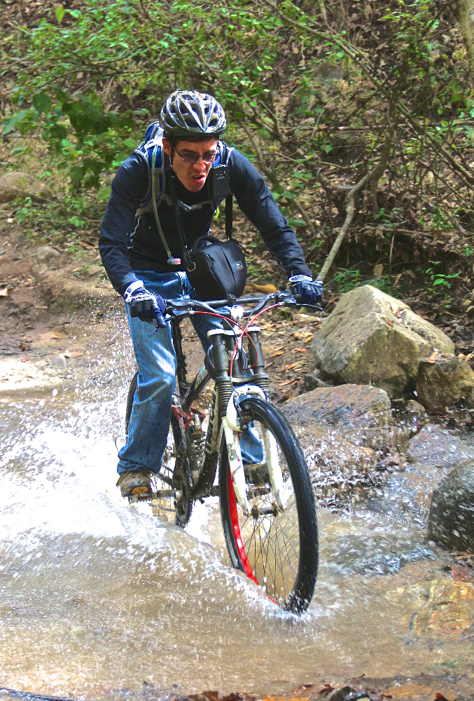
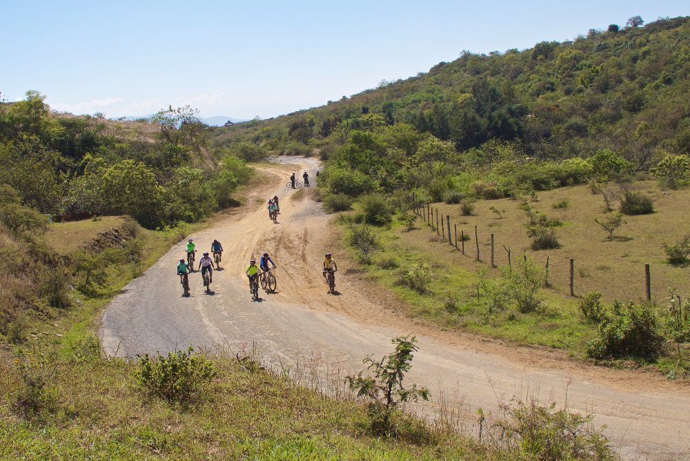
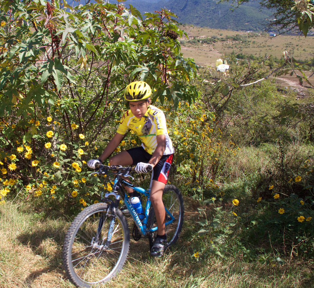
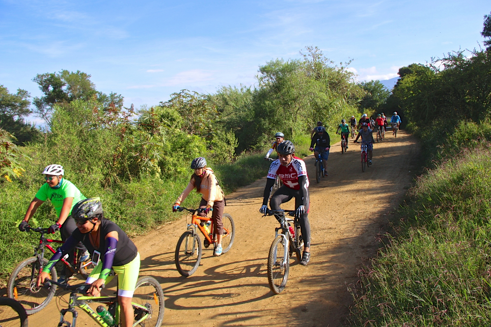
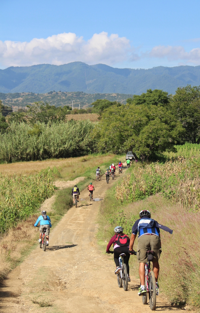
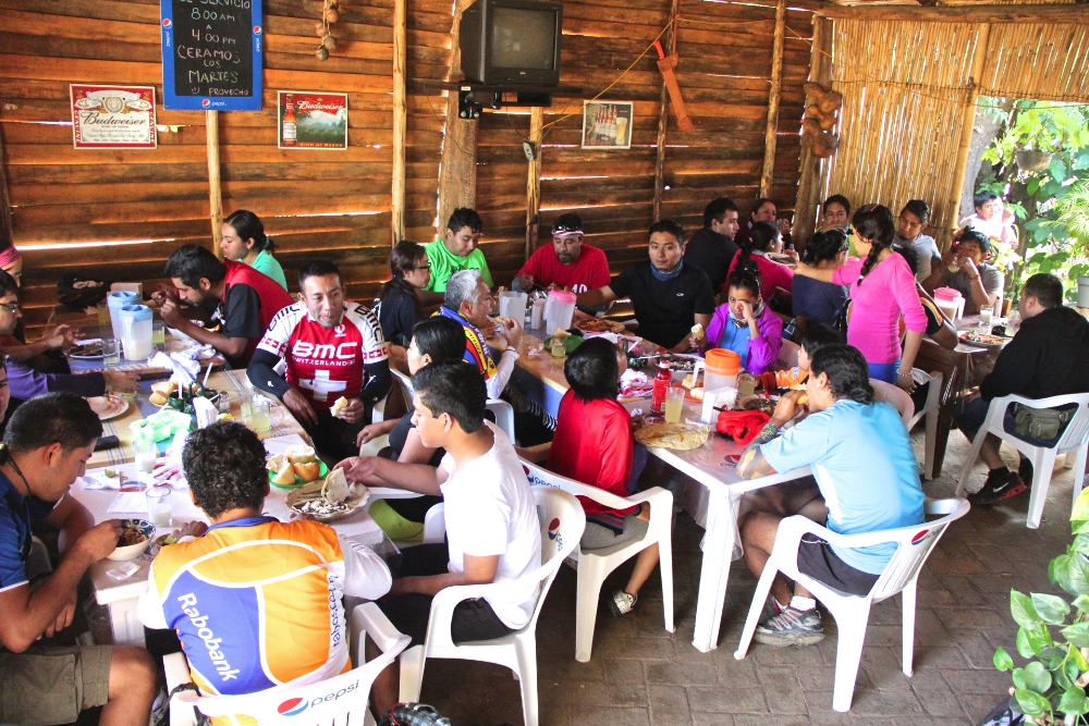
San Andres and San Pedro Ixtlahuaca are two small villages in the Etla Valley just a few miles west of the archeological site of Monte Alban. The rolling hills in the countryside here are both scenic and fun to explore on a mountain bike. Twenty-eight members of the Nitos bike club set out from the center of Oaxaca on this bright Sunday morning in early October to make the most of a beautiful day. The group covered 34.7 kilometers (21.6 miles) on today’s outing, spending about 3.5 hours in the saddle and taking an additional hour for a pleasant lunch at a local comedor along the route, which followed a convoluted path so as to avoid riding on the main highway as much as possible. The ride was an easy one, as the hills were gentle; the total elevation gain for the day amounted to 315 meters (1034 feet).

San Andrés y  San Pedro Ixtlahuaca son dos pueblos en el valle de Etla a unasos pocos kilómetros al oeste de Monte Albán.  La cadena de colinas aquí son estéticamente bellas e interesante para explorar con un “mountain bike”.  Viente ocho socios de el Club Nitos salieron del centro de la ciudad de Oaxaca un domingo asoleado a principos de octubre para disfrutar del día.  El viaje era de 34.7 kilómetros y tres horas y media con una hora de descanso y una comida fue por una ruta fuera de la carretera principal en la medida posible.  El viaje no es difícil con colinas no muy altas. De hecho la subida total era de 315 metros.


Ruta Las Haciendas

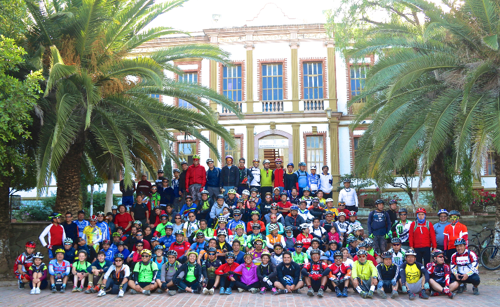
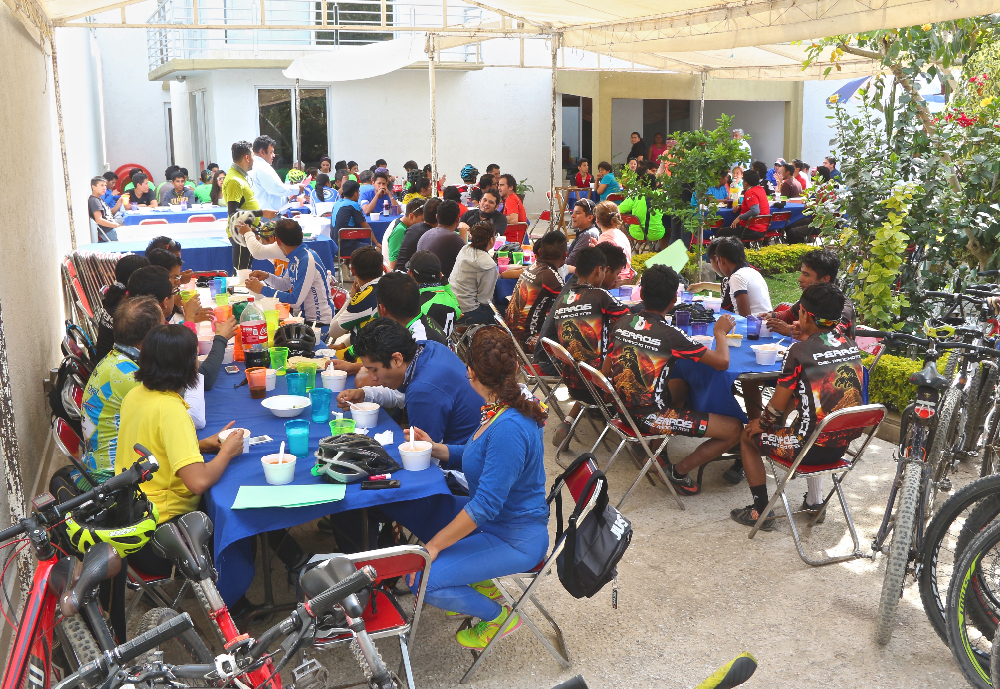
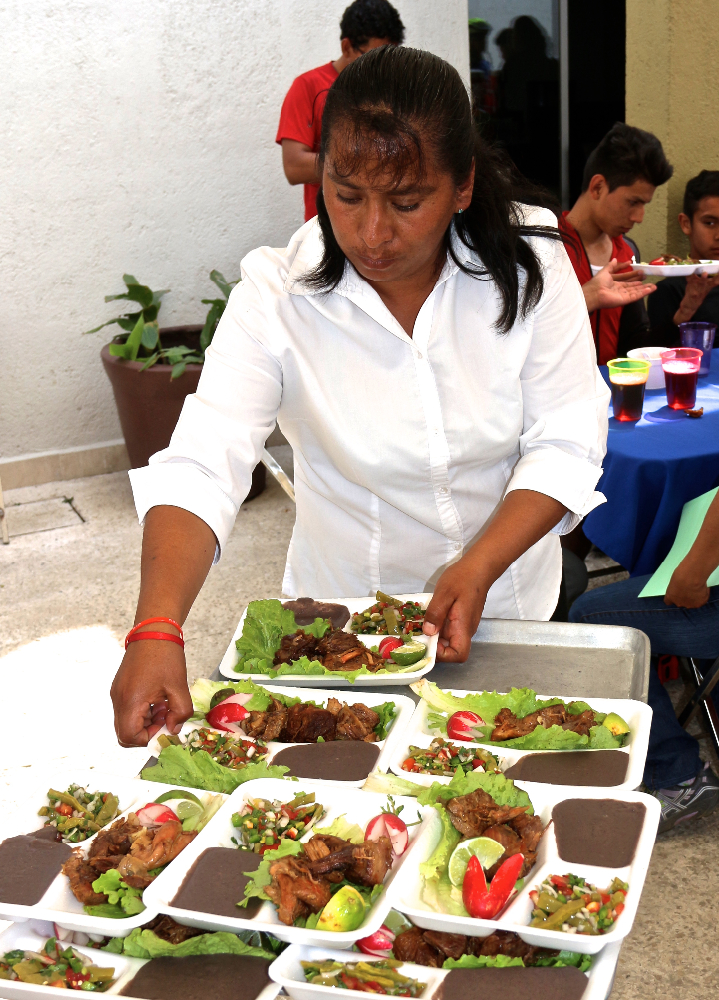
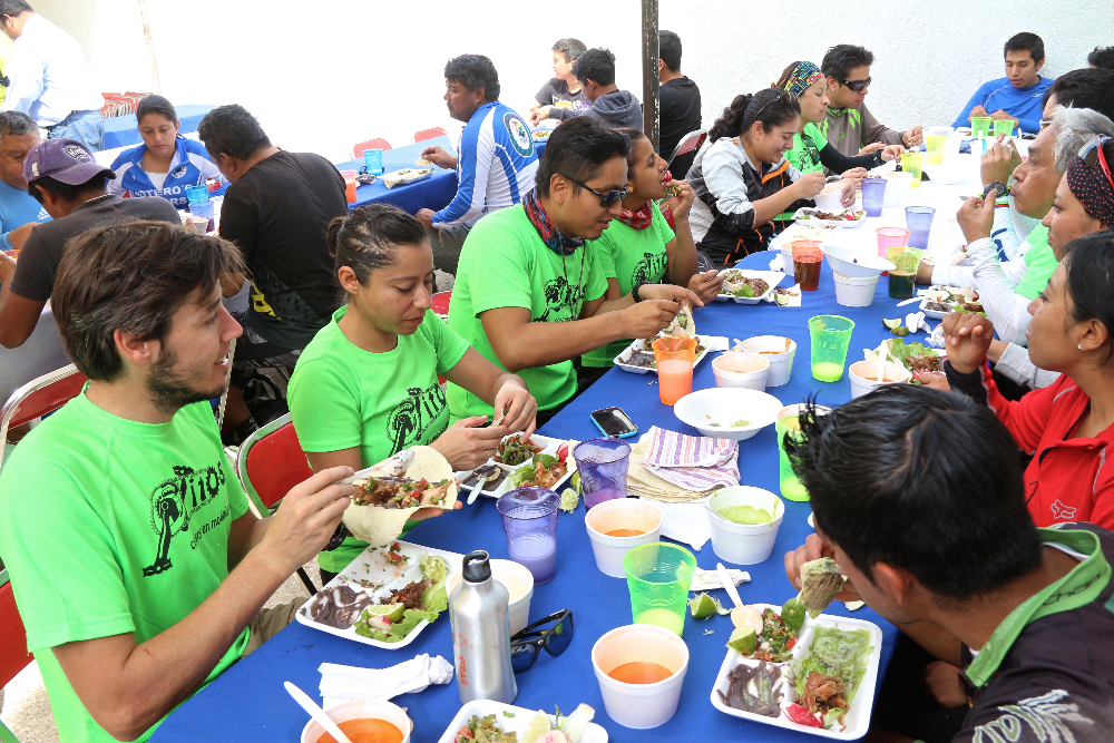
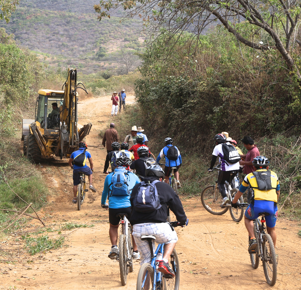
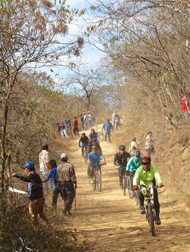
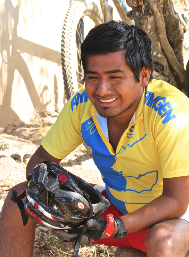
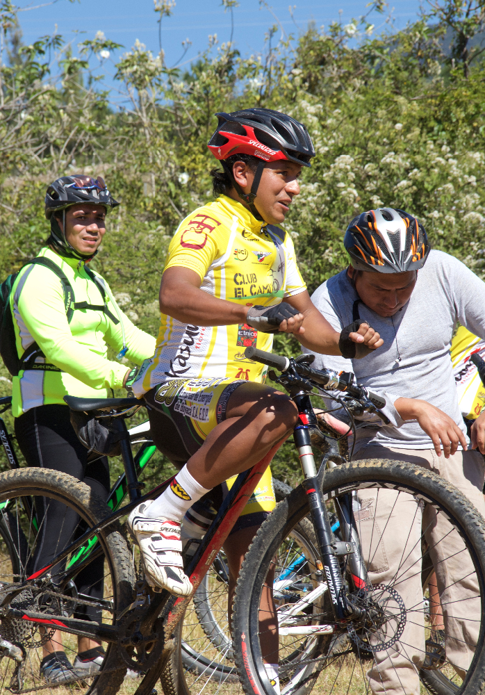
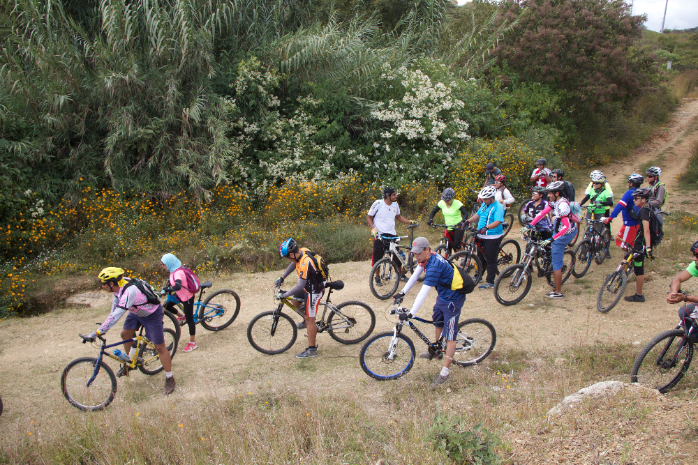
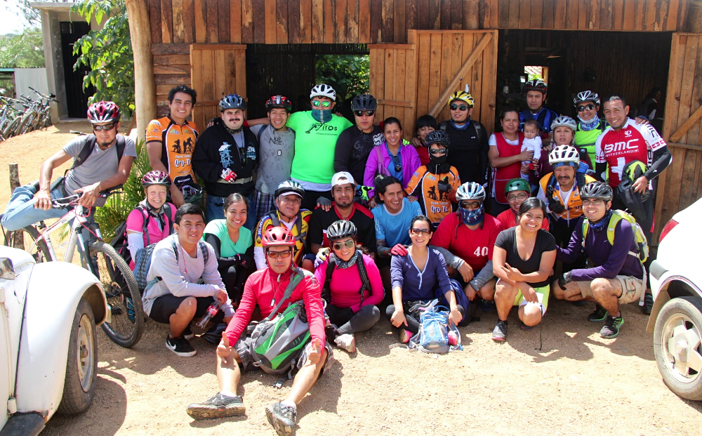
The mountain community of San Miguel Amatlan celebrated the feast of its patron saint – Michael the Archangel – the last weekend in September. As part of the festivities, the city council and the administrators of the ecotourism facility issued an invitation to mountain bikers to ride the Ruta Las Haciendas on Sunday, 28 September. The Nitos club of Oaxaca responded with 49 riders. Representatives also arrived from the La Veredita, Oaxacletos, El Camino, Madruganitos and Nocturnitos groups, as well as members of the Calpulálpam race team — a total of at least 80 riders! The town put on the feed bag for the entire group, supplying both a breakfast before and a lunch after the ride. The community president and various members of the council were on hand to personally welcome the riders, and many townspeople turned out to watch the bikers ride through town and out into the countryside. A brass band welcomed them on their return to Amatlan at the conclusion of the loop ride. Now, that’s hospitality!

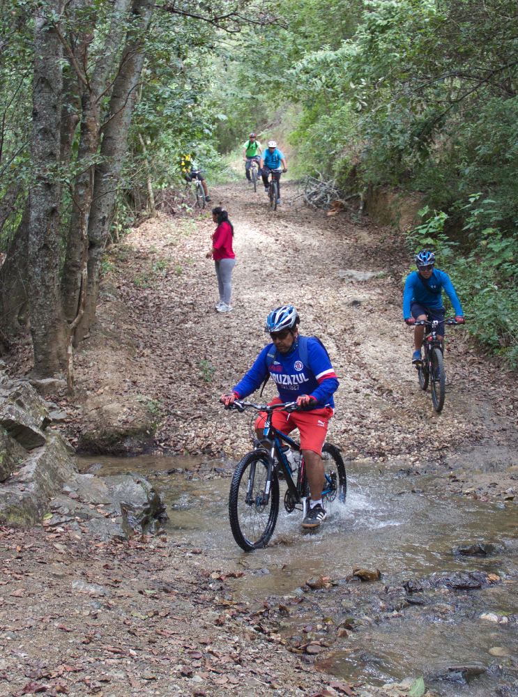
The ride covered a total of 10.3 miles (16.57 km), utilizing dirt roads and a stellar single track trail running along the Papaloapam River that also gave access to the mine ruins of the Cinco Señores and Socorro haciendas. Participants pedaled up and over a number of hills, racking up 1739 feet (530 meters) of elevation gain in completing the circuit.

San Miguel Amatlan celebró su festival de Miguel el Arcángel, el santo del pueblo, durante la última semana de septiembre. Como parte de las actividades el Consejo Municipal y los Administradores de su conjunto para ecoturismo invitaron a ciclistas de llegar al pueblo por la Ruta de Las Haciendas el domingo 28 de septiembre. Cuarenta nueve socios del Club Nitos aceptó la invitación. Otros grupos llegaron desde La Veredita, Oaxacletos, El Camino, Madruganitos y Nocturnitos y también el equipo de carreras de Calpulalpam por un total de 80 ciclistas. El pueblo invitó a todos a desayunar y a comer. El presidente de la comunidad y varios miembros de Consejo nos dieron la bienvenida y mucha gente del pueblo vinieron a ver los ciclistas emprender su paseo. Una banda de pueblo nos dió la bienvenida al regreso del paseo. Un pueblo muy hospitalario! La ruta era de 10.3 millas (16.57 KM) sobre terracería y un sendero al lado del Río Papaloapam que ofreció acceso a las ruinas de las minas de Cinco Señores y la hacienda de Socorro. La ruta tenía varias colinas, por una subida total de 1739 pies (530 metros) del circuito completo.
 

Nitos Ride To Santiago Ixtaltepec

This Sunday morning dawned with clear skies, proffering the possibility of a ride through the countryside without afternoon showers. That turned out to be a false hope, as light rain was falling along a good part of the ride back to Oaxaca — but not enough to dampen the spirits or wash away the good feelings of the day’s outing.

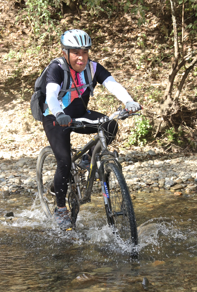
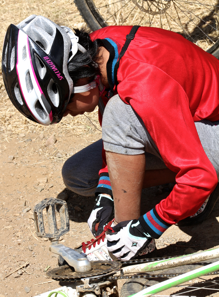
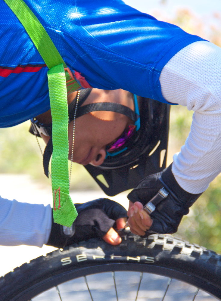
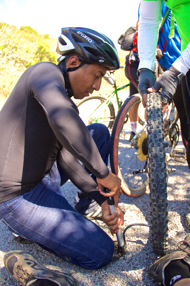
Santiago Ixtaltepec is a small village not far from its more famous neighbor, Teotitlan del Valle; and both of them lie in the Tlacolula valley to the east of Oaxaca city. The terrain there is mostly flat, but we managed to find a few hills to climb on the circuitous route we took on the way out. At times the group navigated barely discernible trails across open fields, trying — unsuccessfully, it turned out — to avoid a multitude of thorn bushes that had previous claim to the territory. At least a dozen flat tires resulted from this crossing, but these were mainly discovered after the group stopped for lunch in Santiago, where it was possible to deal with all of them at the same time.

Today’s trek through the countryside totaled 28.9 miles (46.5 kilometers) for the round trip, with an elevation gain and loss of 1377 feet (419.7 meters) along the way. We crossed a series of hills to accumulate that much climbing, as the high point of the ride was only 5489 feet (1673 meters), just 365 feet (111 meters) higher than the Zocalo in the center of Oaxaca.