It is late November but the weather in Oaxaca continues to be ideal for mountain biking. Blue skies and mild temperatures are a strong lure to get riders out into the countryside for another Sunday ride. As is often the case, the rolling hill country of the Etla valley beckons today’s group of riders. From the esplanade in front of Santo Domingo the band pedaled to the Plaza Bella shopping center, then up the hill towards Monte Alban before cutting off on a side road leading down to Arrazola. From there various dirt lanes led through farm fields, across ridgelines and down along streams — all open country basking in the sunshine. Eventually the route took riders into Cuilapam, where they stopped for icy drinks at a stand set up near the ruins of the never-completed monastery. From that point it was an easy run back into Oaxaca on pavement. The day’s outing covered 25.0 miles (40.0 kms), with riders gaining and losing 2354 feet (717meters) of elevation on the circuit. The high point in the hills northwest of Cuilapam was 5807 feet (1770 meters). Riders spent about four hours in the saddle.

Tinkering with the rear derailleur before the ride. 
Because of the pandemic there are few tourists on the pedestrian mall. 
Not much vehicular traffic on Sunday, either. 
The long climb up towards Monte Alban. 
A sparkling clear day. 
Caution! Lots of loose rubble on the downhill. 
Crossing a spring-fed stream. 
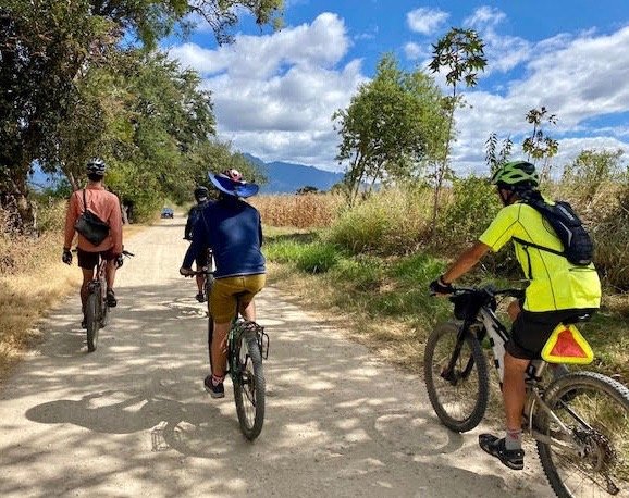
Through the rolling hills. 
One last climb. 
A fast downhill to Cuilapam. 
Stopping for colorful agua frescas. 
Riding the highway from Cuilapam to Oaxaca.