Author: Larry

Sunday 70 Kilometer Loop Ride Around Oaxaca

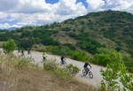
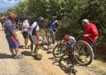
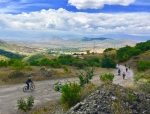
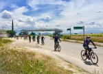
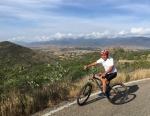
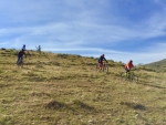
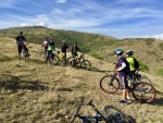
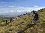
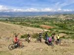
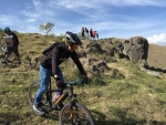
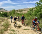
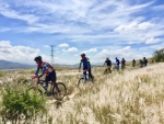
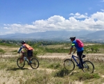
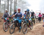
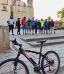
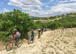
Recent visitors to this web page, whether regular clients or first-timers, might well wonder about the state of mountain biking in Oaxaca or the health of the web site, given the relatively few new posts put online over the past several months. Well, be assured that both are alive and well. As the years go by local mountain bikers necessarily repeat their favorite rides over and over, as there is less and less new territory to be explored. So while local bike clubs continue to sponsor weekly outings, there is not much incentive to post stories which basically repeat what has already been presented. This post is a case in point. A group of 24 mountain bikers assembled on Sunday morning in front of the church of Santo Domingo on the Macedonia Alcala (pedestrian mall in downtown Oaxaca) eager to set out on a 70 kilometer (43.1 mile) loop ride through the Tlacolula and Zimatlan valleys near the capital city. It would be a challenging and satisfying ride, but would follow a route well known to the riders. First following the paved bike path to Tule, the route would then use country roads through Rojas de Cuauhtemoc, Santa Rosa Buena Vista, San Juan Teitipac, Santa Cecilia Jalieza, Santo Domingo Jalieza and San Pedro Guegorexe before catching Highway 175 running north through San Bartolo and Santa Maria Coyotepec back into Oaxaca. The group was reminded along the way that civilization was encroaching on the countryside, as much of the seventy kilometers that was dirt road ten years ago now features pavement, not only in the various villages but on many of the connecting roads. That made the going easier — a fact appreciated by the riders who were now ten years older than in those bygone days. In summary, the group gained and lost a total of 875 meters (2870 feet) in elevation riding the loop. The high point was 1800 meters (5907 feet) crossing the ridge of hills separating the Tlacolula and Zimatlan valleys. The low point was 1517 meters (4977 feet). The group made a wrong turn passing through San Juan Teitipac, which resulted in following a farm road that eventually disappeared into plowed fields, necessitating some bushwhacking to return to the proper road. This, in turn, contributed to there being at least six flat tires among the riders, which accounted for the slow pace of the group. Still, it was a lovely day to be out on a bike and everyone had an enjoyable time. 
 

Colorado Country

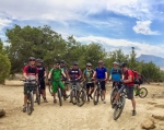
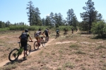
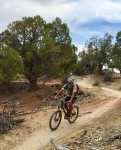
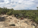
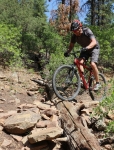
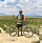
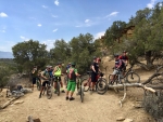
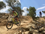
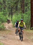
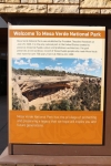
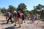
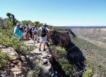
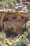
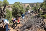
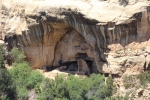
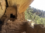
The “Rocky Mountain Bicycle Boys” is a fun-loving mountain bike club located in Denver, Colorado. For over 25 years the group has sponsored annual multi-day trips to favorite places around Colorado over the Independence Day holiday centered around the 4th of July. For the summer of 2018 the club rented a spacious vacation home near Durango, Colorado to be the headquarters for several rides and a day of hiking among the ancient Indian ruins near Mesa Verde National Park. Fellows from as far away as Kansas and California – and two from Oaxaca – took part in the adventure. A raging forest fire north of Durango that began on 1 June threatened to disrupt the annual trip, as highways, local trails and even the San Juan National Forest were closed at times due to the wildfire. Happily, though, the trip took place as planned. The heavy smoke that saturated the hills for many days had dissipated by the time club members arrived on 3 July and we had excellent weather for mountain biking. The fire actually worked in our favor, as there were not nearly as many summer tourists crowding the bars and restaurants in the area, and we pretty much had the hiking and biking trails to ourselves. The first day’s mountain bike adventure took place on the excellent trail network of “Phil’s World” just outside Mancos, Colorado. The second day’s ride took advantage of the complex of loop trails in Boggy Draw, a few miles from the town of Dolores, Colorado. Blue skies and mild temperatures offered ideal conditions for our rides, and a great time was had by all. 

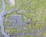
Trail map of Phil’s World near Mancos, Colorado.

Trail map of Boggy Draw near Dolores, Colorado. 

Atzompa Hill Country

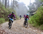
Another lovely Sunday morning; another Nitos ride into the countryside around Oaxaca – this time an exploration of the many farm access roads and single track trails in the hills north and west of Atzompa. It is truly amazing how many bikeable paths there are concentrated in a rather small area so close to the bustle of the capital city. It is also surprising what a challenge it can be to ride them! Today’s group of fifteen mountain bikers set out from the plaza in front of the church of Santo Domingo at 8 am, eager for a good ride. They were not disappointed! The loop trail first took the bikers up to the archeological ruins situated atop the hill overlooking Atzompa. From there the group descended into the village and then pedaled up, down and all around various hills in the area. From start to finish, the group rode 27.6 miles (44.4 kilometers), climbing and descending a total of 3202 feet (976 meters) along the way. Part of the up and down was on rather steep trails, some of which had gradients ranging from 20% to 29%. Everyone’s legs and lungs got a good workout!

Oaxaca: World Destination

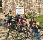
In recent months the city of Oaxaca has gotten great press. It has been mentioned in a number of magazines (most recently “National Geographic” and “Travel & Leisure”) as the 5th or 6th most desirable travel destination in the world — right up there with Paris, London, Venice and other renowned cities. Wow! Who would have thought? But it turns out Oaxaca has been a waypoint for cyclists touring Mexico – and the world – for quite a number of years. People riding bikes from Alaska to the furthest tip of South America pass through here; likewise those pedaling from extreme south to far-distant north. Today I met and rode with Andrew and Stephanie, two young people from Germany on a 3-year around-the-world bike tour. They left home two years ago, heading east through Iran, Kazakstan and China, then flying to Alaska to start their journey through North, Central and South America. Today was a well-earned one-day rest stop on their epic adventure. They were staying with Alex, who advertises his home as a way station on the “Warm Showers” network (https://www.warmshowers.org/). Omar and I met up with them and pedaled up to the archeological ruins of Monte Alban, the ancient Zapotec capital city and Oaxaca’s premier tourist attraction, situated on a hilltop 1326 feet above the floor of the central valley. We left them to explore the archeological site while Omar and I rode into the Etla valley to the west of Monte Alban and then back to our home. We wish Stephanie and Andrew well when they set out tomorrow on their way to Guatemala and points south. May they eventually return safely to Germany with legs of steel and endless happy memories!
Enduro MTB Race

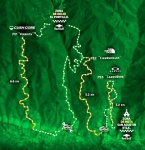
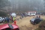
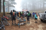
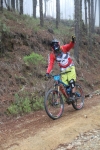
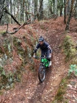
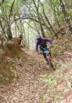
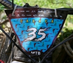
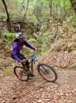
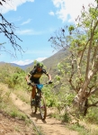
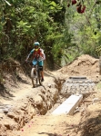
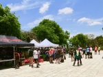
The third round of the 2018 National Intense Enduro series took place in the mountains not far from Oaxaca city on Saturday, 5 May 2018. The race was held in three stages, using some of the nearby trails popular with local riders. The first stage utilized the Veredita trail, which begins at the summit of a logging road 3.2 miles (5.1 kms) above the village of Guacamaya 23 miles (37 kms) north of Oaxaca city in the Sierra Norte range. With the starting gate at an altitude of 9051 feet (2758 meters), this was the highest point of the race circuit. This trail runs downhill 8.6 miles (13.8 kms), ending near the town of San Miguel Etla, a descent of 4998 feet (1523 meters). From that point, race contestants had to either shuttle or pedal back up the mountain to the ecotourism camp of Cieneguillas, where they then rode the single track Cieneguillas trail 3.9 miles (5.2 kms) down to San Agustin Etla, losing 2240 feet (683 meters) along the way. Then it was back up the mountainside to catch a short portion of the Carroñera race course trail, which drops 2.0 miles (3.2 kms) back to San Agustin, generally following the aqueduct that carries water into the village. This last section was the mildest, dropping just 863 feet (263 meters). The race concluded at the Casa de las Artes in San Agustin, a very impressive structure that once housed a large textile mill, now converted into a center which displays traveling exhibits of art from Mexico and other countries of Central America. 

Map of the Veredita trail:

Map of the Cieneguillas trail:

Map of San Agustin Etla Aqueduct trail:

%d bloggers like this: