Category: Trail Work

Items related to planning or having done trail work, or identification of trail areas that need trail work. This includes tools used, proposed trails or trail re-routing, vegetation pruning, or treadwork.

San Felipe Sampler

Sad to say, as of late summer in 2021 the terrific trail network described below was closed to hikers and mountain bikers. People buying property in the hills and constructing homes there prevailed in posting notices that the area was off-limits to recreational users; fences and gates were put up and the major access routes closed by chains or other barriers. What a shame that such a wonderful asset – one that had drawn people into the outdoors for generations – was lost to the public.

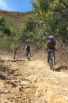
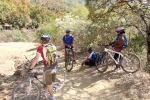
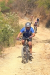
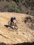
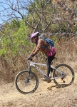
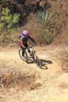
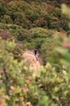
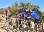
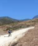
The “Trails” page on this web site lists all of the short trail segments that make up the San Felipe trail network. Here’s what you get when you link several of those sections together on an afternoon’s ride. The loop ride shown covers 8.2 miles (13.2 km) and has an elevation gain & loss of 1418 feet (432 meters). Some sections of trail are steep – two with a 16% grade and one short piece with a 22% grade. The Toro, Toro, Toro trail is an old jeep road, and so is generously wide (except where badly eroded). It can be pretty rocky in places, though. A good part of this ride is on the Maquey Mi Dia trail — a singletrack thread through the woods that is narrow, with sharp turns, dips and sudden steep climbs.

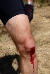
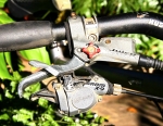
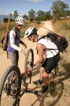
When we set out on this ride we intended to wrap up with a ride on High Flyer ridge and a final descent on the Martillada trail. However, one of our party crashed and ripped the righthand shifter from the handlebar. That meant giving up any further uphill efforts and settling for a downhill run back to home base. Still, it was a fun day on the San Felipe trail network!
Trail Maintenance

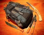
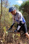
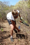
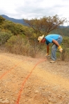
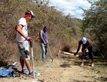
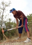
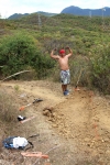
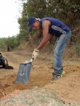
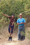
The San Felipe trail network needs occasional maintenance. Once or twice a year the brush along the trails needs to be trimmed back – especially the shrubs and trees sporting thorns and needles! Steps also must be taken to minimize erosion. Drainage channels can be created in strategic spots to keep rainwater from washing out the trail. In places the trail needs to be rebuilt, either to moderate the gradient or to change the side slope so that water coming down the mountainside in a rain storm can flow across the trail rather than being captured by it and then creating nasty gullies that eat away at the trail itself. Finally, there are places where culverts need to be placed under the trail and/or rock barriers put in place to keep flowing water from eating away the very mountainside. All the work is done by volunteer labor following the suggestions found in “Trail Solutions: IMBA’s Guide to Building Sweet Singletrack.”

New Trail (Work) Progress Report: Trail R to Road LNR Connector

So the new connector trail between Libremiento Norte Road and Trail R (Rebote/Ricochet) is mostly cleared of vegetation. Some of the switchbacks have been built for three to five more are needed. At this point, the tread is mostly packed grass except for the bottom part.

In the map, Trail R is in purple, the new trail…..as it stands right now…is shown in cyan.

Come help us finish up this trail.

Scouting for an Etla to SFdA Connector

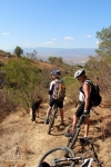
After a short Thursday Morning No-Drop Group Ride with Larry and Judah, Carlos and I headed up Trail HFR to check on the post-rainy-season condition of Trail BK and to scout for possible singletrack trails to connect over to the trails Carlos and his amigos have built in the Etla hills.  Our ride/scout GPS data is in grey, other trails and scouting efforts in the Viguera valley area are also included.  In short, we didn’t find a way that gets us far enough north, but we were please to find Trail BK in such good condition and to be reminded how interesting and fun that trail is.  We’re going to pursue pushing it on to the north and thus provide a bi-directional rideable route of singletrack. Care to help us?

To better examine these map items, instead of displaying a small map here, please load the map data in GoogleMaps (opens in a new window)

Here is the GPX file.

Here is the KML/KMZ version.


Turkeyday Pruning of Trails V and PC

Merlin and I went out and worked up a good Thanksgiving day appetite by pruning Trail V (Vela / Candle) and Trail PC (Piena Cojera / Lame Leg). Now that all the low tree branches are cleared (at least to a height that you can theoretically ride under) and the wolverine vines cut way back, it seems that maybe a Blue Square IMBA rating is a bit too strong for this trail. Let’s call it a dark green or light blue now, eh?

And the GPS data for Trail V was also updated to better reflect the current track of the freshly pruned trail.

%d bloggers like this: