Category: Outing

A description of a particular event or day out and about having DONE something. Outings are things that have occurred. Trails & Ride Routes are conceptual items that can be used by others to plan and complete their own outings.
Single-tracking around La Cumbre

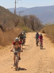
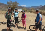
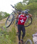
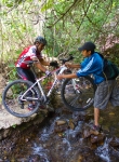
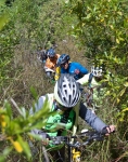
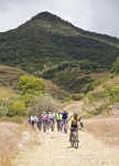
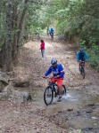
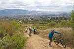
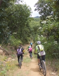
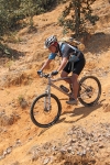
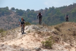
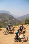
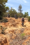
This Sunday (20 September 2015) the Summit Cyclery shop ride ventured into the high country around La Cumbre to sample two super single track trails. An assortment of trucks, vans and cars shuttled riders into the mountains and returned them safely to Oaxaca afterwards. The first part of the outing entailed entering the forest preserve at La Cumbre and riding the “El Cerezo” trail, a super downhill trail to El Punto. This trail has been upgraded recently, and a couple of jumps added to heighten the fun! Kudos to the crew that did the work! The El Cerezeo trail ran 3.45 miles (5.55 km), almost entirely downhill, losing 1730 feet (527 meters) in altitude. (First of the two maps, below.)

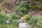
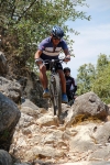
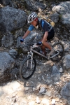
Once in El Punto, the group shuttled back up the highway and down a side road to the start of the 204 Trail. This, too, was a sizzling downhill run, made more adventurous by the mud on the trail and the moss on the rocks. Even new tires with stout knobbies were prone to slide around in the goo! Several riders took tumbles along the way, but everyone survived to tell their tale. This second trail of the day’s outing ran 5.3 miles (8.5 km), losing 2711 feet (826 meters) in elevation along the way. (Second of the two maps, below.)


Invalid Displayed Gallery

Wednesday Ride Takes A Turn

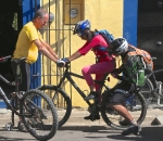
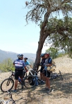
The weekly Wednesday ride took a different turn on March 4. Originally the group planned to ride a singletrack trail from Oaxaca up into a mountain canyon. However, one of our party asked if his cousin, recently arrived from Mexico City could join in the outing. Turns out the cousin was a young lady of 13, who had never ridden a bike with multiple gears. So the group switched gears, so to speak, and changed course, opting for an easy ride on the paved bike path to Tule, then on to Santo Domingo Tomaltepec and back to Oaxaca on dirt roads running through – and with a lunch stop in – Tlalixtac. It turned out to be a pleasant few hours in the saddle, and the young cousin made it safely back home, tired but happy.

Zapotrek – Responsible tourism in Oaxaca, Mexico

Eric Ramirez is an enthusiastic young man with a passion for exploring the natural wonders of Oaxaca. He offers hiking excursions, bicycling tours, cultural tours, mezcal tours, eco-archeological tours and rock climbing. He speaks excellent English. Visit Eric’s web site at Zapotrek.com or contact him personally at eric@zapotrek.com or 951-257-7712

Nitos Ride to Huayapam

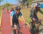
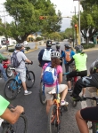
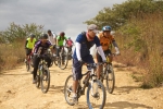
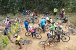
Twenty-five members of the Nitos club set out this Sunday morning for a ride along the lower flank of the Sierra Norte, following roads and trails running from San Felipe del Agua through Donaji and into Huayapam. The circular route ran a total of 15.0 miles (24.1 km) through some steep and heavily wooded terrain, with an elevation gain and loss of 1747 feet (532.5 meters) along the way. Weather conditions were excellent, and for the first time in a long while there was no mud to slither through. The group set out from downtown Oaxaca shortly after 8 am and finished the ride back at our starting point by 1:30 in the afternoon.

25 socios del Club Nitos emprendieron un viaje a través del costado de la Sierra Norte viajando por carreteras y caminos pasado por Donaji y terminando en Huayapam.  La ruta de ida y vuelta era de 15 millas (24.1 kilometros) y pasó por áreas de empinados caminos y bosques, con un cambio de altura de 532.5 metros durante el viaje.   Las condiciones de clima y terreno eran excelentes y por primera vez en algún tiempo no había lodo.  El grupo salió del centro de Oaxaca a las 8 de la mañana y terminó el viaje donde habíamos comenzado a la 1:30 de la tarde.

Apoala

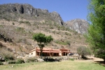
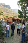
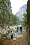
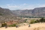
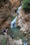
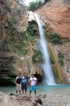
Santiago Apoala is a very small (pop. 200) Mixtec village located in a deep, secluded valley 68 miles northwest of Oaxaca city. Its dramatic setting and some of the physical characteristics of the area make it a fine destination for hiking and mountain biking. The Mexican government has designated Apoala as a natural biosphere, and has constructed an ecotourism center there. The principal things of interest to visitors are the extremely narrow, vertiginous canyon that guards the northern approach to the village; the natural spring at the base of a cliff that gushes clear, frigid water year around; the various caves that riddle the nearby hillsides; and the series of scenic cascades and waterfalls created by the water flowing out of the valley and over yet another cliff. The highway between Nochixtlan and Apoala was paved in 2022, reducing the drive time from Oaxaca from 3.5 hours to just 2 hours.

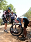
Mountain bikers will find the area challenging, in part because trails are difficult to find and partly because of the technical obstacles of the terrain. Hiring a local guide to ride with you is strongly recommended — as is having a sturdy bike and being in good physical condition. Be sure to carry plenty of water and food, as you may spend a grueling day in the saddle with no opportunity to resupply. Also carry a decent supply of tools, tire repair kit and a spare tube.

Apoala es un pueblo de 200 habitantes en la Mixteca a 109 kilómetros al noreste de la Cuidad de Oaxaca.  Su ubicación en un dramático paisaje lo hace un destino muy atractivo para hace paseos de “mountain biking” y para caminatas.  Puesto que se necesitan tres horas y media para llegar a Apoala es mejor quesdarse dos días allá.  El gobierno mexicano se ha designado a Apoala como “un biosfero natural” y ha construido un Centro de Ecoturismo.  Para los visitantes los aspectos más interesantes son los barrancas estrechas y profundas que están al lado norte del pueblo, el manantial de aguas limpias y muy frías al fondo de un despeñadero,  varias cuevas en las laderas, y una serie de cascadas que vienen del valle y caen de otro despeñadero. 

Los que son ciclistas de las montanas encuentran el área un reto puesto que las sendas son difíciles de encontrar y los obstáculos del terreno.  Se recomenda que los participantes contrate un guía local y tenga un bicicleta en óptima condición.  Es importante tener consigo una buena cantidad de agua y comida dado que el viaje es agotatante y sin oportunidades de conseguir ni agua ni alimentos. Es aconsejable  llevar herramientas para reparar llantas y un cámara de aire extra. 

%d bloggers like this: