Author: Deron

Trail C

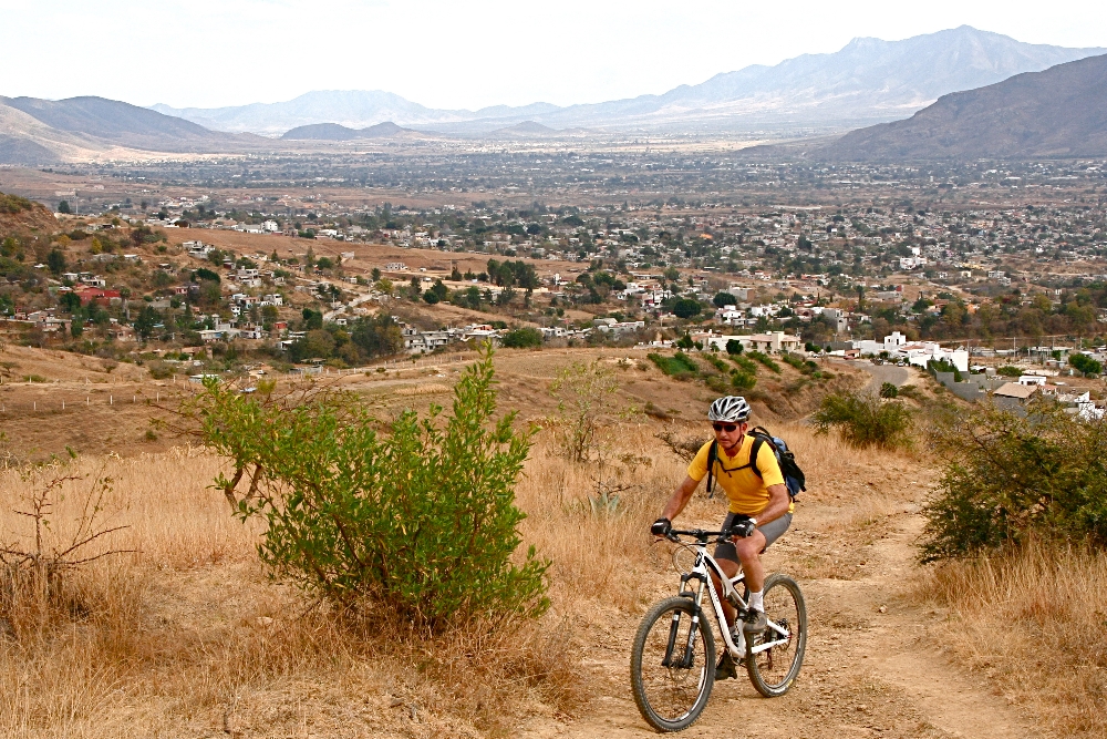
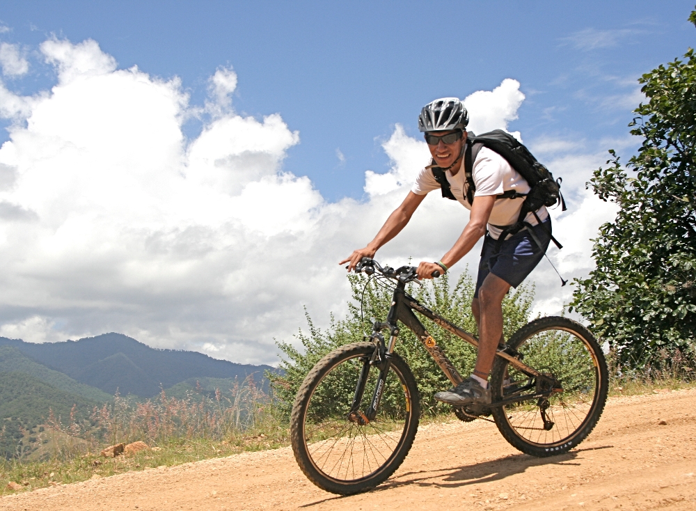
Trail C (Coctelera (Cocktail Shaker)) is a long, extremely rutted and rock-strewn downhill. Tasty! Use Trail HFR (High Flyer Ridge) and then Trail BK (Burro Kong (Donkey Kong)) to get to the top of Trail C. It doesn’t conspicously connect to the junction of Trail BK + PAP so it can be difficult to find the top of this technical downhill. You may have to scout around to the west below the map-drawn junction of BK + C + PAP, but trust us, it’s there and it’s worth it if you like technical downhills.

From the bottom of Trail C (in the town of Viguera) return to the area near the west end of Trail HFR using Road LNR or Trail VV (Easy versus More Difficult, respectively).

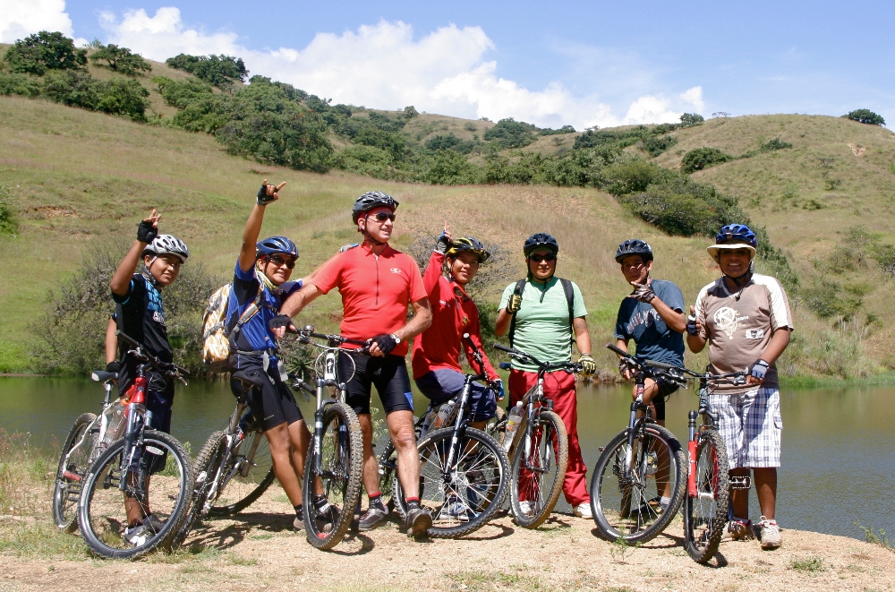
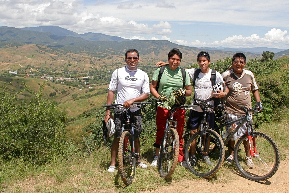
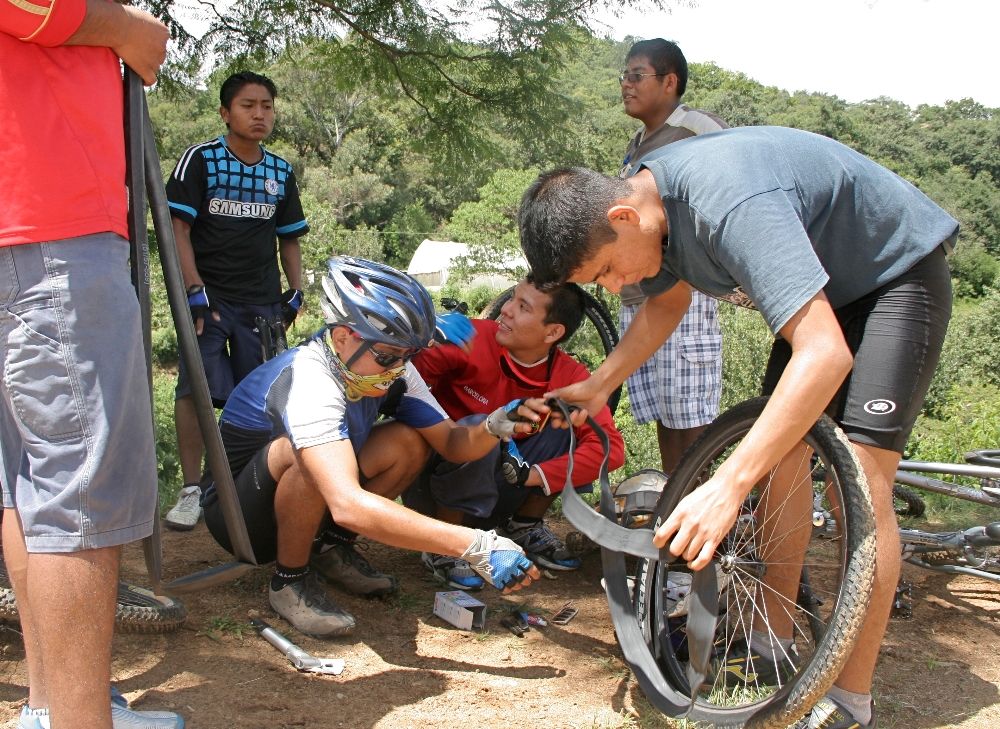
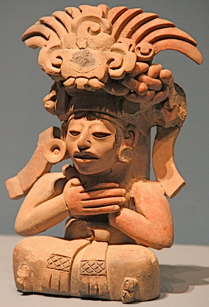
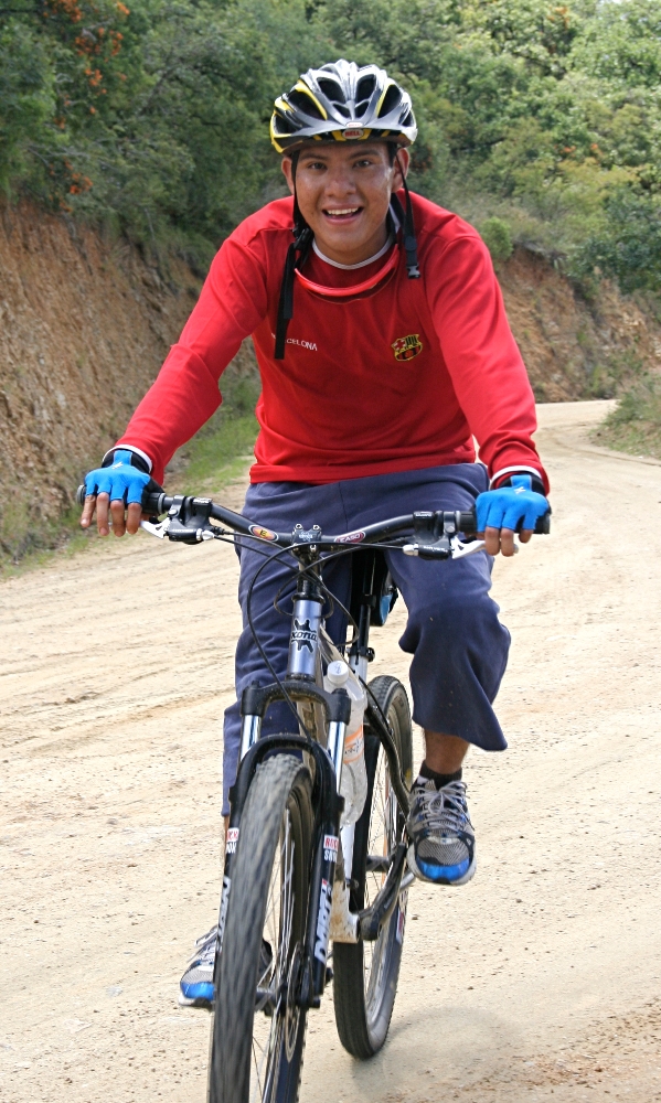
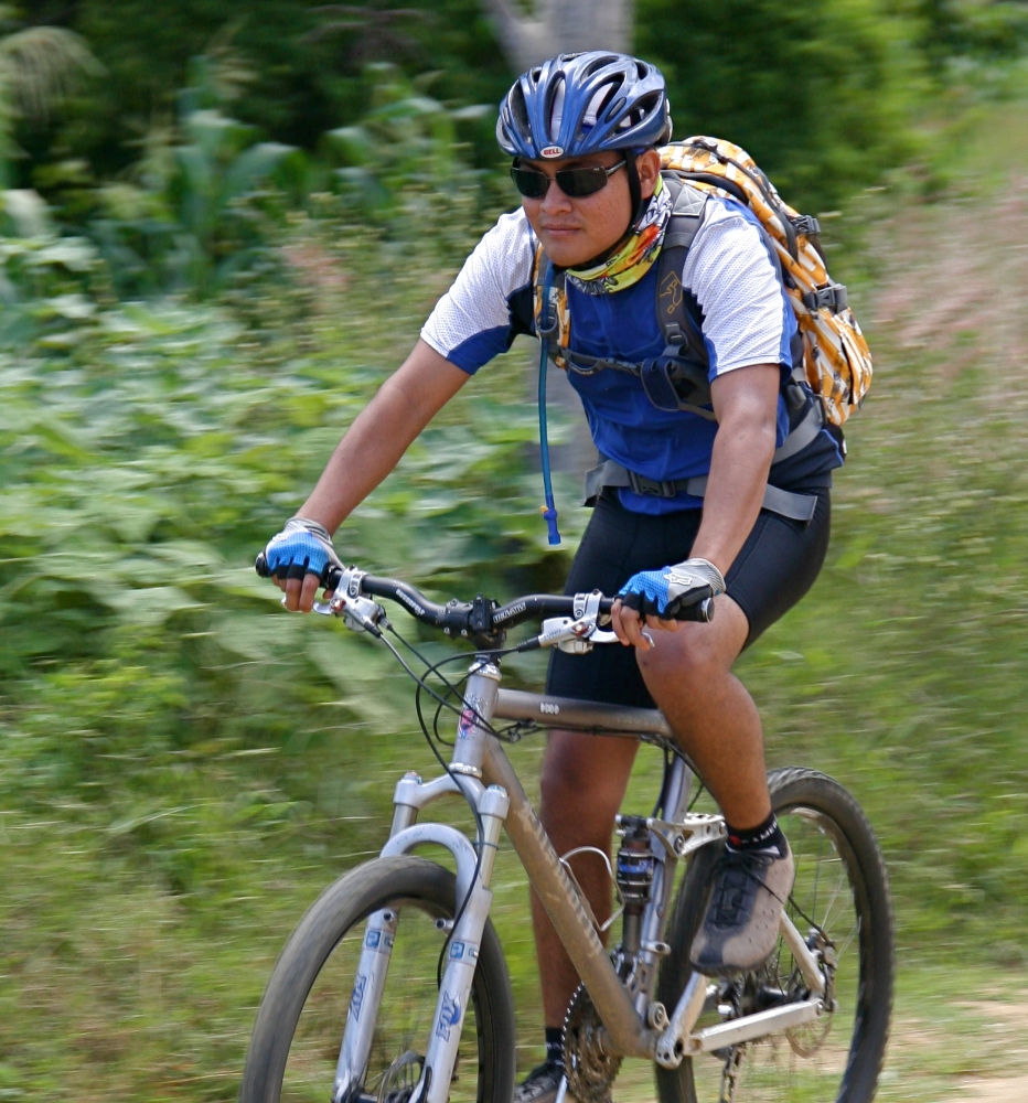
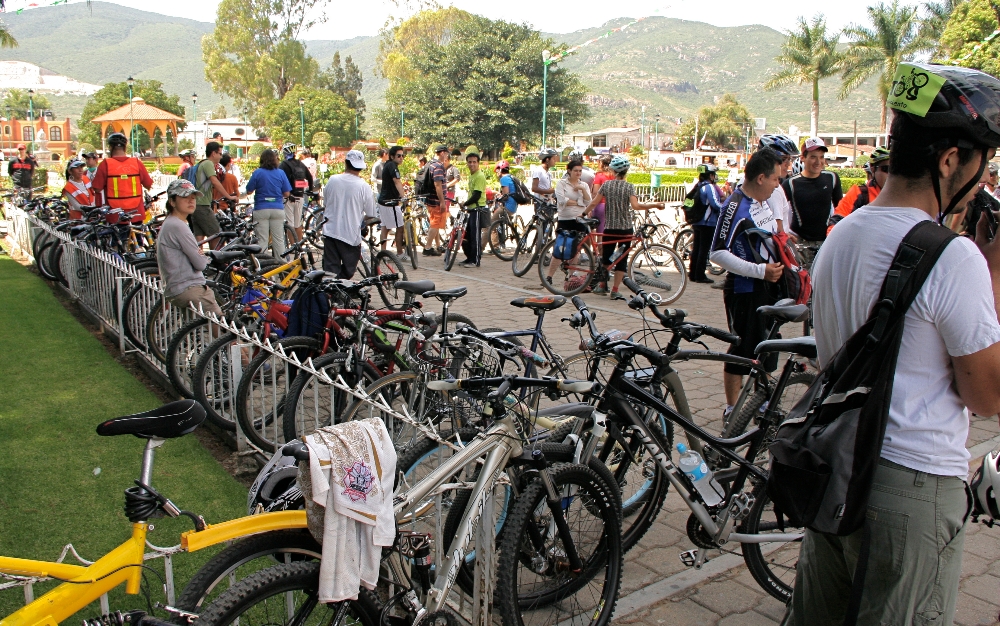
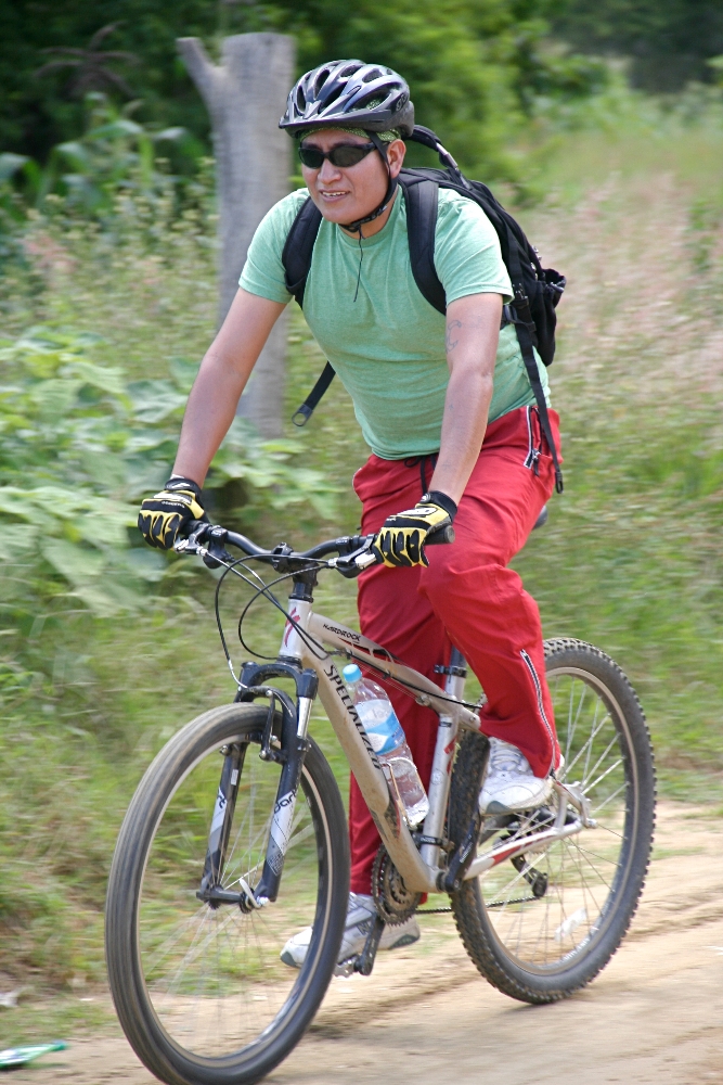
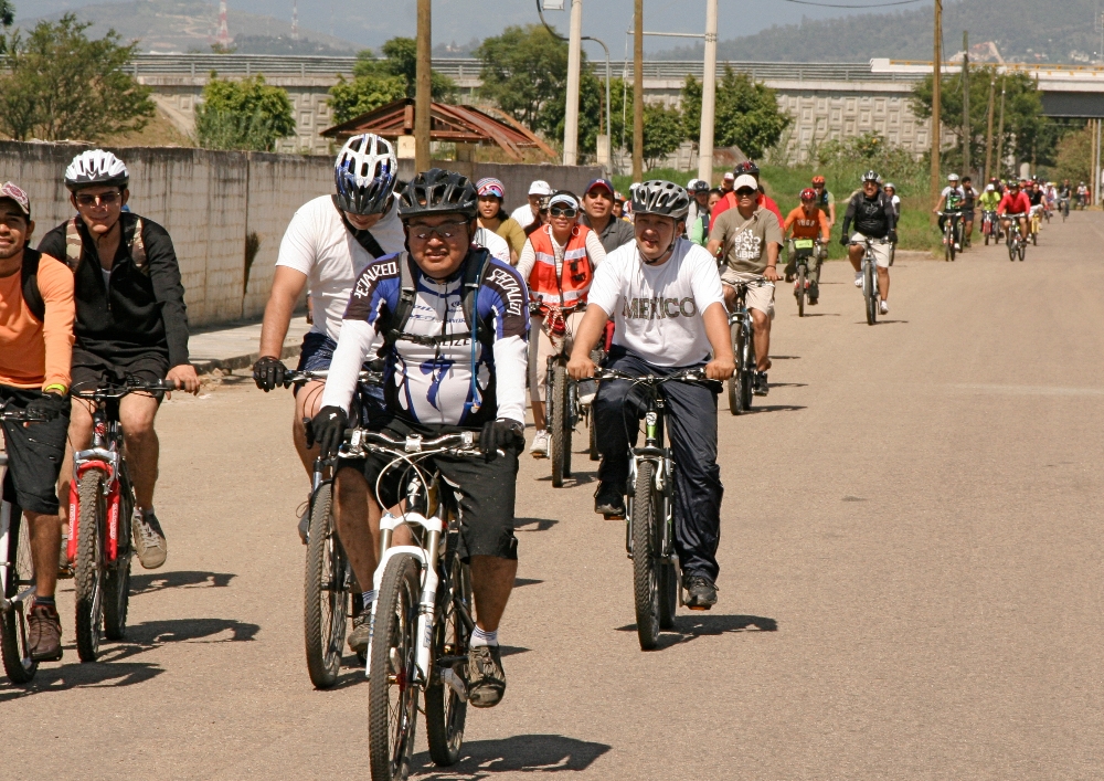
Visit http://www.OaxacaMTB.org for Oaxaca, Mexico MTB trails, related details and helpful information.

Trail Parameters
Trail Type: Trail
Trail Tread: Singletrack
IMBA Trail Rating: Black Diamond – Very Difficult
Trail Length (km): 4.00
Trail Total Ascent (m): 7
Trail Total Descent (m): 497
Trail Maximum Elevation (m): 2131
Trail Minimum Elevation (m): 1641
Average Grade (%): -12.3
Use the “Download” link in the map above to retrieve a copy of the KML/Z file for your own uses. E.g. viewing in GoogleEarth, loading to your GPS-enabled device).
 
Or, click here to examine this trail and its components in greater detail in GoogleMaps.

Trail BK

Trail BK (Burro Kong (Donkey Kong)) is a contour-following, rock and root sprinkled singletrack kick in the pants, getting you from Trail HFR (High Flyer Ridge) over to the top of Trail C (Coctelera (Cocktail Shaker)), as well as Trails PAP and DDT (both mostly consider not ridable on bikes). By itself it’s not worth the work it takes to get to it via Trail HFR, but as a warm up for Trail C, it’s some yummy salt on the rim of your forthcoming cocktail.

Trail Parameters
Trail Type: Trail
Trail Tread: Singletrack
IMBA Trail Rating: Blue Square – Difficult
Trail Length (km): 0.89
Trail Total Ascent (m): 53
Trail Total Descent (m): 9
Trail Maximum Elevation (m): 2138
Trail Minimum Elevation (m): 2091
Average Grade (%): 5.2
Use the “Download” link in the map above to retrieve a copy of the KML/Z file for your own uses. E.g. viewing in GoogleEarth, loading to your GPS-enabled device).
 
Or, click here to examine this trail and its components in greater detail in GoogleMaps.

Trail A

Trail A (Abuela (Grandmother)) is a short section of jeep trail/ doubletrack that cuts between the south end of Trail WFR (West Frontage Road) and where Trail ED (Espina D) climbs back out of the western valley it comes down into from the top of Rojo Runout Peak. Useful for cutting out the top of Trail ED (either to ride only the top of Trail ED and return to Trail WFR via Trail A, or to skip the top of Trail ED.

Trail Parameters
Trail Type: Trail
Trail Tread: Mixed
IMBA Trail Rating: Blue Square – Difficult
Trail Length (km): 0.46
Trail Total Ascent (m): 0
Trail Total Descent (m): 19
Trail Maximum Elevation (m): 1853
Trail Minimum Elevation (m): 1833
Average Grade (%): -4.2
Use the “Download” link in the map above to retrieve a copy of the KML/Z file for your own uses. E.g. viewing in GoogleEarth, loading to your GPS-enabled device).
 
Or, click here to examine this trail and its components in greater detail in GoogleMaps.

OaxacaMTB.org All-Trails Map


Tiny Humor

A neutron walks into a bar. “I’d like a beer” he says. The bartender promptly serves up a beer. “How much will that be?” asks the neutron. “For you?” replies the bartender, “no charge.”


Two hydrogen atoms walk into a bar. One says, ‘I think I’ve lost an electron.’ The other says ‘Are you sure?’ The first says, ‘Yes, I’m positive… ‘

– Tommy Cooper

%d bloggers like this: